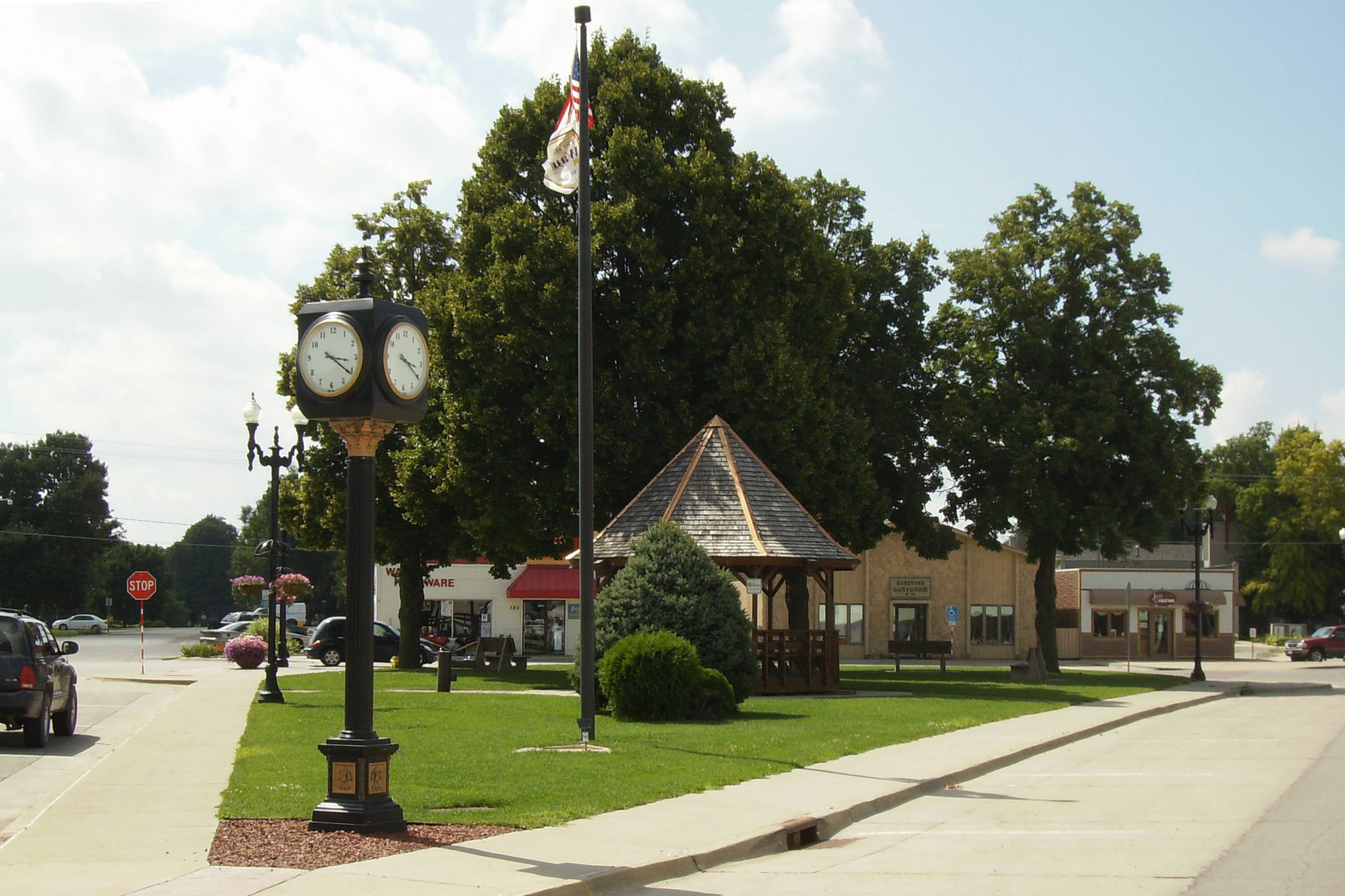
Waukee
Contenu soumis à la licence CC-BY-SA. Source : Article Waukee de Wikipédia en français (auteurs)
Regardez d'autres dictionnaires:
Waukee — Waukee, IA U.S. city in Iowa Population (2000): 5126 Housing Units (2000): 2087 Land area (2000): 8.390343 sq. miles (21.730887 sq. km) Water area (2000): 0.011488 sq. miles (0.029753 sq. km) Total area (2000): 8.401831 sq. miles (21.760640 sq.… … StarDict's U.S. Gazetteer Places
Waukee, IA — U.S. city in Iowa Population (2000): 5126 Housing Units (2000): 2087 Land area (2000): 8.390343 sq. miles (21.730887 sq. km) Water area (2000): 0.011488 sq. miles (0.029753 sq. km) Total area (2000): 8.401831 sq. miles (21.760640 sq. km) FIPS… … StarDict's U.S. Gazetteer Places
Waukee — Original name in latin Waukee Name in other language State code US Continent/City America/Chicago longitude 41.61166 latitude 93.88523 altitude 313 Population 13790 Date 2011 05 14 … Cities with a population over 1000 database
Waukee (Iowa) — Waukee Ciudad de los Estados Unidos … Wikipedia Español
Waukee Stadium — Infobox Stadium stadium name = Waukee Stadium nickname = Warrior Zone location = 555 SE University Avenue Waukee, Iowa 50263 broke ground = Unknown opened = Unknown closed = n/a owner = Waukee Community School District operator = Waukee High… … Wikipedia
Waukee United Methodist Church — Founded in 1869, the Waukee United Methodist Church is one of the oldest churches in Waukee, Iowa. History Waukee United Methodist Church, church archives, author unknown.] HistoryThe church first met in the Des Moines Valley rail depot. Under… … Wikipedia
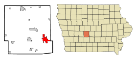
Waukee, Iowa — Infobox Settlement official name = Waukee, Iowa settlement type = City nickname = motto = imagesize = image caption = image imagesize = image caption = image mapsize = 250px map caption = Location of Waukee, Iowa mapsize1 = map caption1 =… … Wikipedia
50263 — Waukee, Ia (Miscellaneous » ZIP Codes) … Abbreviations dictionary
Des Moines Menace — Full name Des Moines Menace Soccer Club Nickname(s) Menace, Red Army Founded 1994 … Wikipedia
Clive Greenbelt Trail — is a 11.3 miles (18.2 km) urban recreational trail in Clive, Iowa and forms part of the Central Iowa Trails network. This very busy recreational trail runs through Polk and Dallas Counties in Iowa. It is a very curvy, paved asphalt and… … Wikipedia

 États-Unis
 Iowa
Iowa