Varmahlíð
- Varmahlíð
-
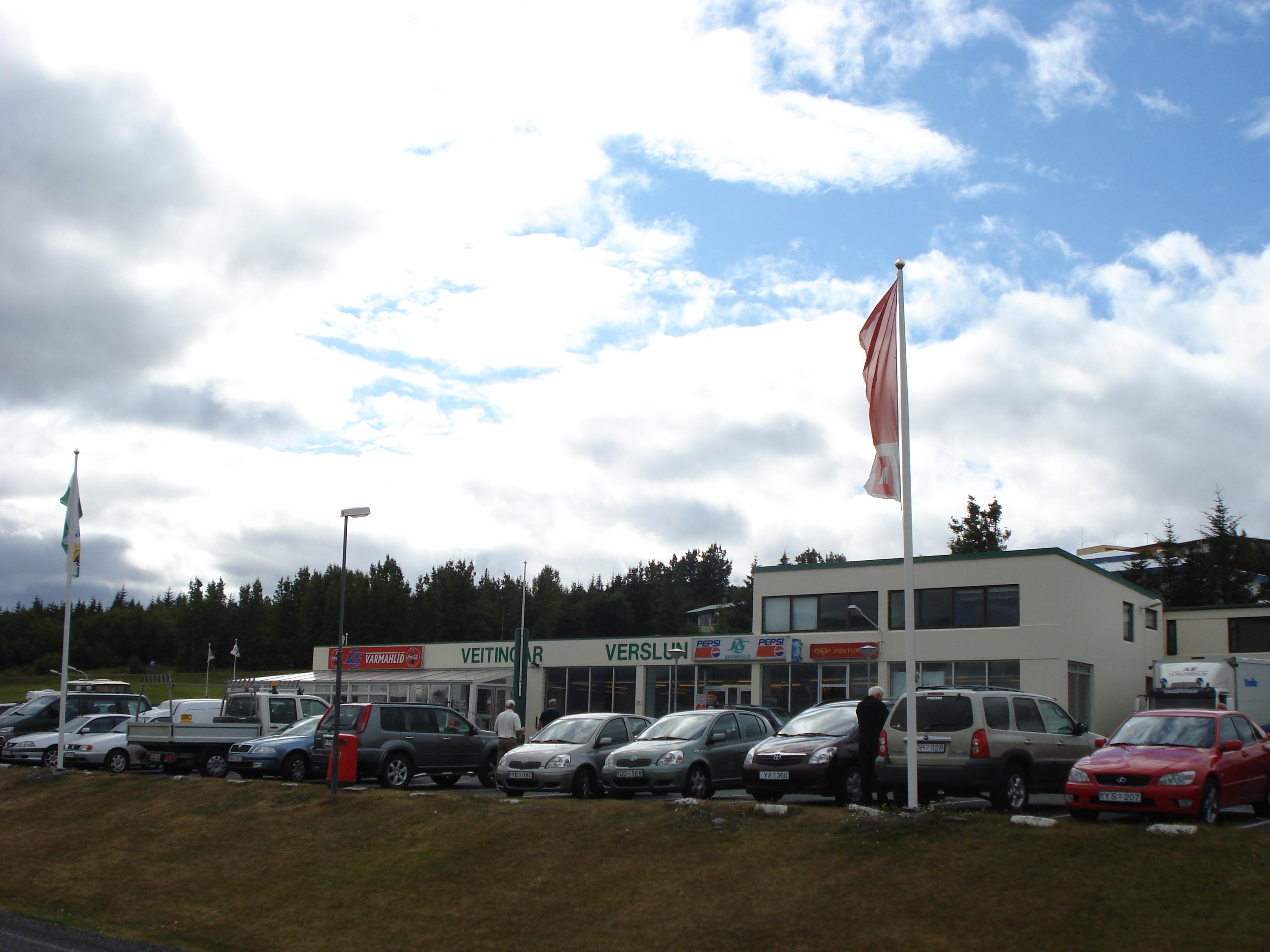
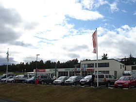
Varmahlíð est une commune islandaise de la municipalité de Skagafjörður située au nord de l'île, dans la région de Norðurland vestra. En 2011, le village comptait 137 habitants.
Géographie
Cette section est vide, insuffisamment détaillée ou incomplète.
Votre aide est la bienvenue !
Toponymie
Cette section est vide, insuffisamment détaillée ou incomplète.
Votre aide est la bienvenue !
Histoire
Cette section est vide, insuffisamment détaillée ou incomplète.
Votre aide est la bienvenue !
Administration
Jumelages
Cette section est vide, insuffisamment détaillée ou incomplète.
Votre aide est la bienvenue !
Démographie
Cette section est vide, insuffisamment détaillée ou incomplète.
Votre aide est la bienvenue !
Économie
Cette section est vide, insuffisamment détaillée ou incomplète.
Votre aide est la bienvenue !
Patrimoine naturel et architectural
Cette section est vide, insuffisamment détaillée ou incomplète.
Votre aide est la bienvenue !
Personnalités liées à la commune
Cette section est vide, insuffisamment détaillée ou incomplète.
Votre aide est la bienvenue !
Annexes
Cette section est vide, insuffisamment détaillée ou incomplète.
Votre aide est la bienvenue !
Articles connexes
Liens externes
Références
Wikimedia Foundation.
2010.
Contenu soumis à la licence CC-BY-SA. Source : Article Varmahlíð de Wikipédia en français (auteurs)
Regardez d'autres dictionnaires:
Varmahlíð — (isl. für Warmer Abhang) ist der Name folgender Orte in Island: Varmahlíð (Skagafjörður) in der Gemeinde Skagafjörður Varmahlíð (Borgarfjörður) am Borgarfjörður, Westisland Diese Seite ist eine Begriff … Deutsch Wikipedia
Varmahlíð — is a small village in Skagafjörður in northern Iceland. It is on the ring road, and approximately 24km south Sauðárkrókur. Around 120 people live on the eastern slope of the hill for which the town is named … Wikipedia
Varmahlíð — Sp Vármahlidas Ap Varmahlíð L Islandija … Pasaulio vietovardžiai. Internetinė duomenų bazė
Skagafjörður (Gemeinde) — Skagafjörður (Sveitarfélagið Skagafjörður) Basisdaten Staat: Island Region: Norðurland vestra Wahlkreis: Norðvesturkjördæmi Sýsla … Deutsch Wikipedia
Hofsós — Skagafjörður (Sveitarfélagið Skagafjörður) Basisdaten Staat: Island Region: Norðurland vestra Wahlkreis: Norðvesturkjördæmi … Deutsch Wikipedia
Sveitarfélagið Skagafjörður — Skagafjörður (Sveitarfélagið Skagafjörður) Basisdaten Staat: Island Region: Norðurland vestra Wahlkreis: Norðvesturkjördæmi … Deutsch Wikipedia
Varmahlid — Skagafjörður (Sveitarfélagið Skagafjörður) Basisdaten Staat: Island Region: Norðurland vestra Wahlkreis: Norðvesturkjördæmi … Deutsch Wikipedia
Skagafjörður Municipality — Skagafjörður, IcelandMunicipality seal Location in IcelandCountySkagafjarðarsýslaConstituencyNorthwestArea 4180 km² (1614mi²) Population Total (2008) Density 4,039 0.99/km² … Wikipedia
List of postal codes in Iceland — Postal codes in Iceland are made up of three digits, the code is followed by the name of the appropriate postal distribution center which is usually the nearest town. The total number of postal codes is 148, 15 are reserved for post office boxes … Wikipedia
List of Iceland-related articles — For a topical list, see List of basic Iceland topics Articles (arranged alphabetically) related to Iceland include: NOTOC 1 9 1. deild karla 101 Reykjavík 12 Tónar 1924 28 Nordic Football Championship 1929 32 Nordic Football Championship 1933 36… … Wikipedia
 Islande
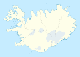
 Varmahlíð