Surtningssue
- Surtningssue
-
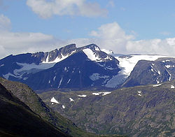
Le Surtningssue, ou Surtningssui, est le septième plus haut sommet de Norvège, dans les Alpes scandinaves.
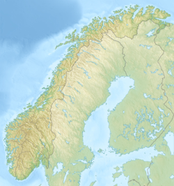
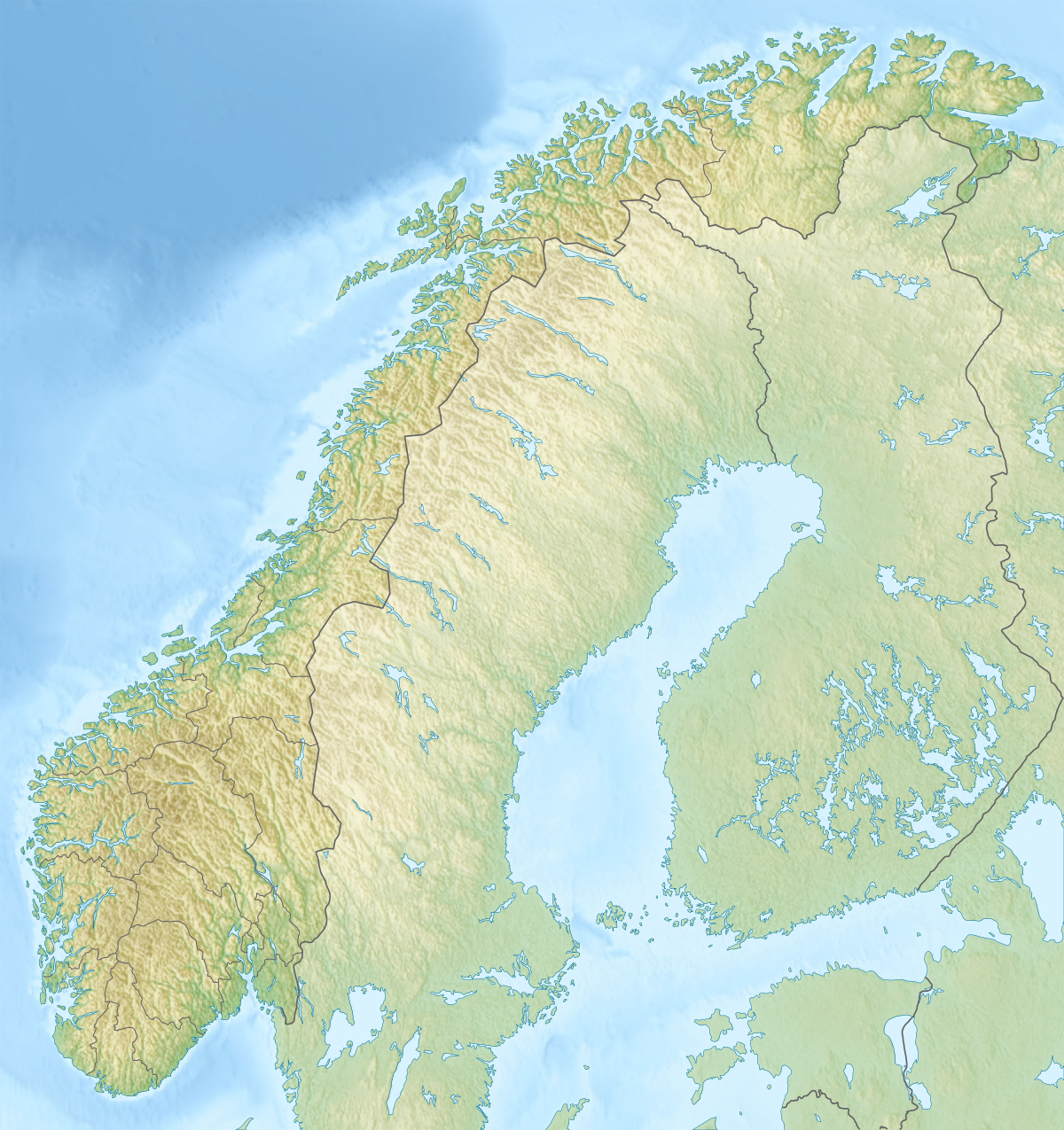
Il se trouve dans le massif du Jotunheimen entre les communes de Lom et Vågå et culmine à 2 368 mètres d'altitude[1].
Toponymie
Le nom Surtningssue vient des mots surtning qui veut dire « le noir » et su qui signifie « cochon ». Le mont Surtningssue est donc le « mont du cochon noir ».
Notes et références
Wikimedia Foundation.
2010.
Contenu soumis à la licence CC-BY-SA. Source : Article Surtningssue de Wikipédia en français (auteurs)
Regardez d'autres dictionnaires:
Surtningssue — Infobox Mountain Name = Surtningssue Photo = Surtningssue, 2005.jpg Caption = Surtningssue seen from Valdresflya Elevation = convert|2368|m|ft|0|lk=on Location = Lom and Vågå, Oppland, NOR Range = Jotunheimen Prominence =… … Wikipedia
Scandinavian Mountains — The Scandinavian Mountains, in Swedish Skanderna , Fjällen ( the Fells ) or Kölen , and in Norwegian Kjølen , with the two latter meaning the Keel, are a mountain range that runs through the Scandinavian Peninsula. The western sides of the… … Wikipedia
Store Knutsholstinden — Infobox Mountain Name = Store Knutsholstinden Photo = Store Knutsholstinden 2005.jpg Caption = Seen from the north, from Raudhamran by Surtningssue Elevation = convert|2341|m|ft|0|lk=on Location = Vågå, Oppland, NOR Range = Jotunheimen Prominence … Wikipedia
Russvatnet — Infobox lake lake name = Russvatnet image lake = caption lake = image bathymetry = caption bathymetry = location = Vågå, Oppland (Jotunheimen mountain range) coords = coord|61|33|1.7|N|8|40|33.3|E|type:waterbody region:NO|display=inline,title… … Wikipedia
Memurubu — The mouth of the river Muru emptying into Gjende lake next to Memurubu. Memurubu is a tourist hut in Norway, at the end or start of the famous Besseggen hiking trail. Memurubu is originally an old mountain pasture dating back to 1872, but has had … Wikipedia
Liste der Berge in Norwegen — Diese Liste zeigt der Höhe nach geordnet eine Auswahl der höchsten Berge Norwegens. Rang Gipfel Höhe Gebirge/Massiv 1. Galdhøpiggen 2.469 moh. Jotunheimen 2. Glittertinden … Deutsch Wikipedia
Liste der Berge oder Erhebungen in Norwegen — Dies ist eine Liste der höchsten Berge und Erhebungen Norwegens. Rang Gipfel Höhe Gebirge/Massiv 1. Galdhøpiggen 2.469 moh. Jotunheimen 2. Glittertinden 2.464 … Deutsch Wikipedia
Memurubu — Mündung des Muru in den Gjende bei Memurubu Memurubu ist eine norwegische Wanderhütte, die am Gjendesee im Nationalpark Jotunheimen liegt. Sie befindet sich am Ende des Murudalen, an der Mündung des Flusses Muru in den Gjendesee. Memurubu liegt… … Deutsch Wikipedia
Alpes Scandinaves — Carte des Alpes scandinaves. Géographie Altitude 2 469 m … Wikipédia en Français
Alpes scandinaves — Carte des Alpes scandinaves. Géographie Altitude 2 469 m, Galdhøpiggen Longueur 1 700� … Wikipédia en Français
 Norvège