Riddells Creek
- Riddells Creek
-
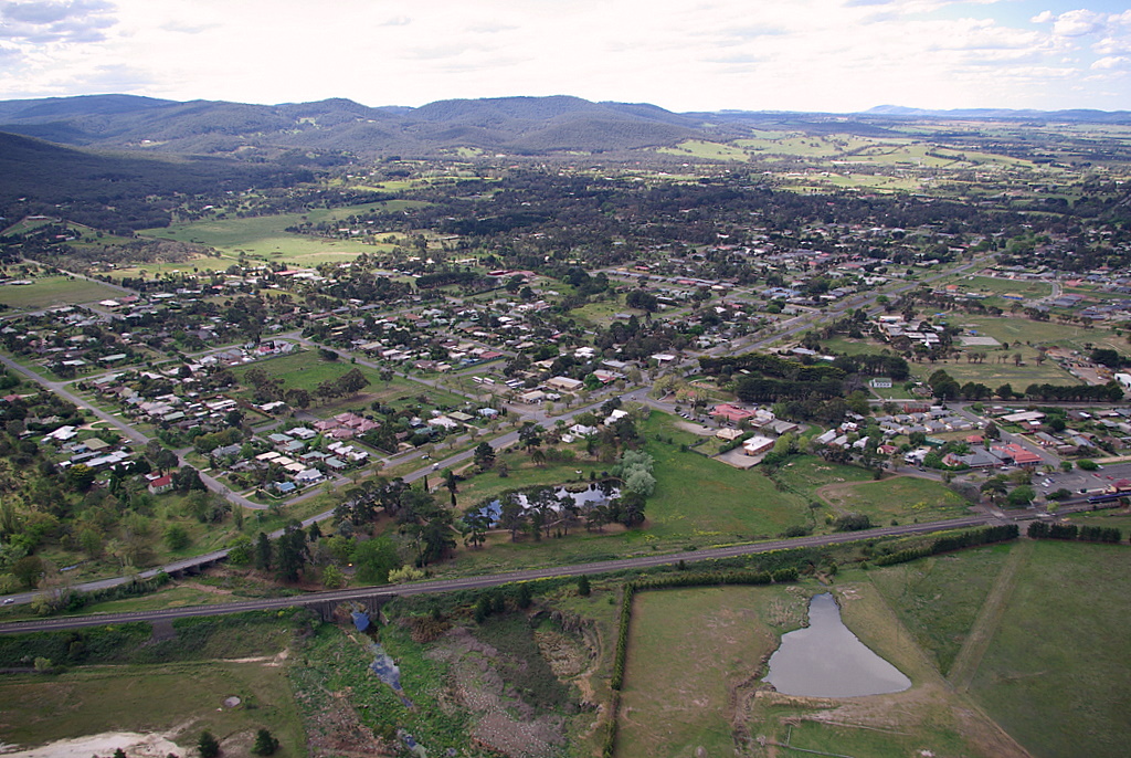
Riddells Creek (2 625 habitants) est un village à 50 km au nord ouest de Melbourne, dans l'État de Victoria, en Australie sur la rivière du même nom.
Liens externes
Sur les autres projets Wikimedia :
Wikimedia Foundation.
2010.
Contenu soumis à la licence CC-BY-SA. Source : Article Riddells Creek de Wikipédia en français (auteurs)
Regardez d'autres dictionnaires:
Riddells Creek, Victoria — Infobox Australian Place | type = town name = Riddells Creek state = vic caption = Main street lga = Shire of Macedon Ranges postcode = 3431 pop = 3441 (2006)Census 2006 AUS | id = SSC26533 | name = Riddells Creek (State Suburb) | accessdate =… … Wikipedia
Riddells Creek railway station, Victoria — VlineRailwayStation1 NAME=Riddells Creek CODE=RCK DISTANCE=km to mi|58.90|abbr=yes LINES=Echuca Swan Hill PLATFORMS=2 TRACKS=2 STATUS=Staffed part time FACILITIES= [http://www.viclink.com.au/stop/view/20337 Link] TIMETABLES=… … Wikipedia
New Gisborne, Victoria — New Gisborne Victoria Main street … Wikipedia
Cherokee, Victoria — Cherokee Victoria Gap Road at Cherokee … Wikipedia
Clarkefield, Victoria — Clarkefield Victoria Station Street … Wikipedia
List of localities in Victoria (Australia) — Map of Local Government Areas in Victoria This is a list of locality names and populated place names in the state of Victoria, Australia, outside the Melbourne metropolitan area. It is organised by region from the south west of the state to the… … Wikipedia
Mount Macedon, Victoria — For other uses, see Macedon (disambiguation). Mount Macedon Victoria Mount Macedon village from nearby Mount Towrong … Wikipedia
Riddell Football Club — Infobox aus sport club | clubname = Riddell fullname = Riddell Football Club emblem = Bombers strip = Red with a Black Sash (based on Essendon) founded =1888 sport = Australian rules football league = Riddell District Football League ground =… … Wikipedia
Monegeetta, Victoria — Monegeetta Victoria General store, Monegeetta … Wikipedia
Gisborne South, Victoria — Gisborne South Victoria Aerial photo of Gisborne south Population … Wikipedia
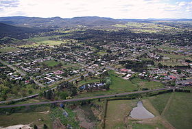 Vue aérienne de Riddells Creek
 Australie