Musbury
- Musbury
-
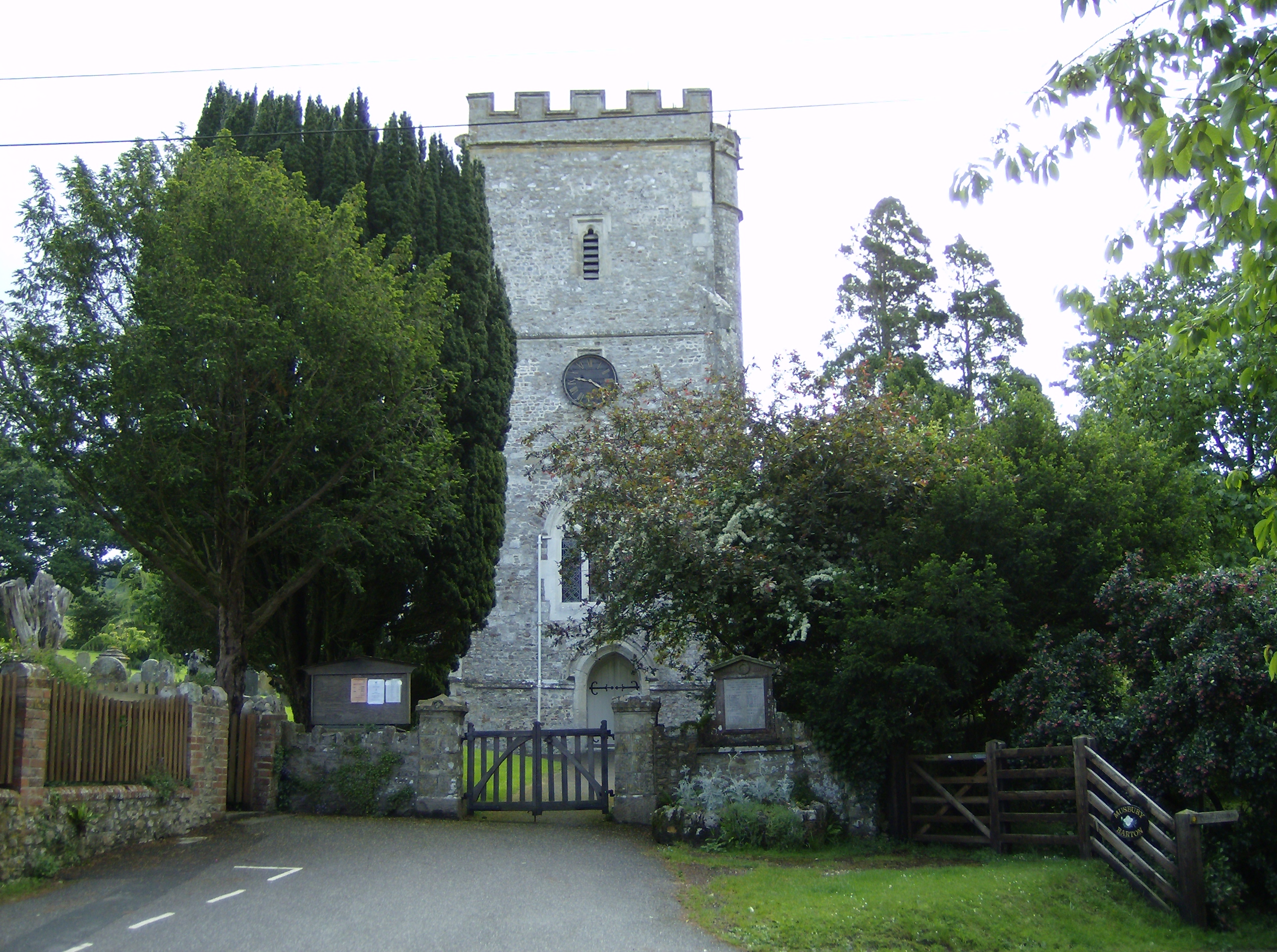
Musbury est un village sur la route A358 près d'Axminster dans le Devon.
Personnalités liées à la ville
Jumelage
Liens externes
Wikimedia Foundation.
2010.
Contenu soumis à la licence CC-BY-SA. Source : Article Musbury de Wikipédia en français (auteurs)
Regardez d'autres dictionnaires:
Musbury — Coordinates: 50°44′44″N 3°01′37″W / 50.745459°N 3.026999°W / 50.745459; 3.026999 … Wikipedia
Musbury Tor — is a flat topped hill in Helmshore, Rossendale, Lancashire, England. It separates Alden Valley to its south and Musbury Valley to the north. It is a very popular walking spot and the views from the top are magnificent. It is on farmland and is… … Wikipedia
Musbury Valley — The Musbury Valley is a small valley in the east Pennines, west of Helmshore and Haslingden in Rossendale, Lancashire. The valley is very picturesque and includes a variety of landscapes, mostly sheep pasture and moors but there are some patches… … Wikipedia
Musbury Castle — Coordinates: 50°44′31″N 3°01′01″W / 50.741949°N 3.017°W / 50.741949; 3.017 … Wikipedia
Helmshore — infobox UK place country = England latitude= 53.683333 longitude= 2.333333 population= official name= Helmshore shire district= Rossendale shire county = Lancashire region= North West England constituency westminster= Hyndburn, Rossendale and… … Wikipedia
Alden Valley — The Alden Valley is a small valley in the east Pennines, west of Helmshore in Rossendale, Lancashire. In 1840 it was home to about 20 farms; largely cattle rearing, although most inhabitants were also involved with the production of textiles. Now … Wikipedia
East Devon Way — Infobox Hiking trail Name=East Devon Way Photo=Musbury Church.jpg Caption=The church at Musbury lies near the trail Location=South West England Designation=UK National Trail Length=Convert|38|mi|0 Start/End Points=Exmouth, Devon Lyme Regis,… … Wikipedia
Tottington, Greater Manchester — infobox UK place country = England map type= Lancashire latitude= 53.6132 longitude= 2.3393 official name= Tottington population= 9,389Fact|date=April 2007 metropolitan borough= Bury metropolitan county= Lancashire region= North West England… … Wikipedia
John Churchill (1er duc de Marlborough) — Pour les articles homonymes, voir Churchill et Marlborough. L Angleterre utilise le calendrier julien jusqu en 1752 alors que la France adopte le calendrier grégorien à partir de 1564. Dans cet article, les dates du calendrier julien sont suivies … Wikipédia en Français
Nathaniel Gundry — Sir Nathaniel Gundry (1701? 1754), was an English lawyer and politician. Gundry was born at Lyme Regis, and entered as a member of the Middle Temple in 1720. In 1725 he was called to the bar, when he migrated to Lincoln s Inn. At the dissolution… … Wikipedia

 Angleterre
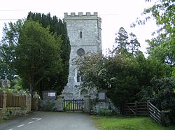 L'église de Musbury