Lower Kalskag (Alaska)

Lower Kalskag (Alaska)

61° 30′ 49″ N 160° 21′ 33″ W / 61.513735, -160.35905

Lower Kalskag
Administration
Pays Drapeau des États-Unis États-Unis
État Alaska Alaska
Borough région de recensement de Bethel
Code FIPS 02-45460
Démographie
Population (2007) 268 hab.
Densité 60 hab./km²
Géographie
Coordonnées 61° 30′ 49″ Nord
       160° 21′ 33″ Ouest
/ 61.513735, -160.35905
Altitude 8 m
Superficie totale 4,5 km2
· dont terre 3,3 km2 (73,33 %)
· dont eau 1,2 km2 (26,67 %)
Fuseau horaire AKST (UTC-9)
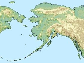
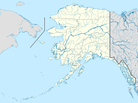
Voir la carte administrative
City locator 14.svg
Voir la carte topographique
City locator 14.svg

Lower Kalskag est une localité d'Alaska aux États-Unis dans la Région de recensement de Bethel dont la population était de 268 habitants au recensement de 2007.

Elle est appelée Lower par ses habitants, pour la différencier de la ville de Upper Kalskag (Alaska) distante de 2 milles (3 km) à laquelle elle est reliée par une piste non goudronnée. Lower Kalskag est accessible de l'extérieur l'hiver par une route de glace construite entre Aniak et Bethel, sinon uniquement par des petits avions et des bateaux en été sur la rivière Kuskokwim.

Articles connexes


Wikimedia Foundation. 2010.

Contenu soumis à la licence CC-BY-SA. Source : Article Lower Kalskag (Alaska) de Wikipédia en français (auteurs)

Игры ⚽ Нужен реферат?

Regardez d'autres dictionnaires:

  • Lower Kalskag, Alaska — Infobox Settlement official name = Lower Kalskag, Alaska settlement type = City nickname = motto = imagesize = image caption = image mapsize = 250px map caption = Location of Kalskag, Alaska mapsize1 = map caption1 = subdivision type = Country… …   Wikipedia

  • Lower Kalskag (Alaska) — Lower Kalskag Ciudad de los Estados Unidos …   Wikipedia Español

  • Kalskag, Alaska — may refer to:*Lower Kalskag, Alaska *Upper Kalskag, Alaska …   Wikipedia

  • Lower Kalskag — Lower Kalskag, AK U.S. city in Alaska Population (2000): 267 Housing Units (2000): 79 Land area (2000): 1.282464 sq. miles (3.321567 sq. km) Water area (2000): 0.437645 sq. miles (1.133495 sq. km) Total area (2000): 1.720109 sq. miles (4.455062… …   StarDict's U.S. Gazetteer Places

  • Lower Kalskag, AK — U.S. city in Alaska Population (2000): 267 Housing Units (2000): 79 Land area (2000): 1.282464 sq. miles (3.321567 sq. km) Water area (2000): 0.437645 sq. miles (1.133495 sq. km) Total area (2000): 1.720109 sq. miles (4.455062 sq. km) FIPS code:… …   StarDict's U.S. Gazetteer Places

  • Upper Kalskag, Alaska — Infobox Settlement official name = Upper Kalskag, Alaska settlement type = City nickname = motto = imagesize = image caption = image mapsize = 250px map caption = Location of Upper Kalskag, Alaska mapsize1 = map caption1 = subdivision type =… …   Wikipedia

  • Upper Kalskag (Alaska) — 61° 32′ 15″ N 160° 18′ 58″ W / 61.53744, 160.31607 …   Wikipédia en Français

  • Alaska locations by per capita income — Alaska has the fourteenth highest per capita income in the United States of America, at $22,660 (2000). Its personal per capita income is $33,568 (2003), the twelfth highest in the country. Its median household income is $51,571 (2000), ranked… …   Wikipedia

  • Kalskag Airport — IATA: KLG – ICAO: PALG – FAA LID: KLG Summary Airport type Public Owner State of Alaska DOT PF Central Region …   Wikipedia

  • Alaska Native Regional Corporations — The Alaska Native Regional Corporations (Alaska Native Corporations or ANCSA Corporations) were established in 1971 when the United States Congress passed the Alaska Native Claims Settlement Act (ANCSA) which settled land and financial claims… …   Wikipedia

Share the article and excerpts

Direct link
Do a right-click on the link above
and select “Copy Link”