Košeca
- Košeca
-
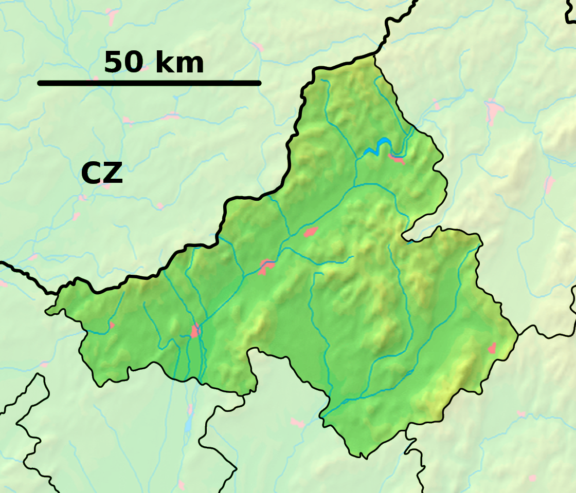
Košeca (allemand : Koschitz im Waagtal, hongrois : Kasza)[4] est un village de Slovaquie situé dans la région de Trenčín.
Histoire
La première mention écrite du village date de 1272[2].
Notes et références
Catégories :
- Village de Slovaquie
- Village et ville du district d'Ilava
Wikimedia Foundation.
2010.
Contenu soumis à la licence CC-BY-SA. Source : Article Košeca de Wikipédia en français (auteurs)
Regardez d'autres dictionnaires:
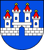
Košeca — Wappen Karte … Deutsch Wikipedia
Košeca — is a village and municipality in Ilava District in the Trenčín Region of north western Slovakia.HistoryIn historical records the village was first mentioned in 1272.GeographyThe municipality lies at an altitude of 255 metres and covers an area of … Wikipedia
Clan of Ostoja — The Clan of Ostoja was a powerful group of Knights and Lords in late medieval Europe. The clan encompassed several families in the Polish Lithuanian Commonwealth, Upper Hungary (Slovakia), Hungary, Transylvania, Belorus, Ukraine and Prussia. The… … Wikipedia
Liste der Burgen und Schlösser in der Slowakei — Diese Liste führt Burgen und Schlösser in der Slowakei auf. Übersetzungen: hrad, (hrádok) = Burg zámok = Schloss; pevnosť = Festung kaštieľ = Kastell Altes Schloss (slowakisch Starý zámok Banská Štiavnica) Schloss Altsohl (slowakisch Zvolenský… … Deutsch Wikipedia
Liste von Burgen und Schlössern in der Slowakei — Diese Liste führt Burgen und Schlösser in der Slowakei auf. Übersetzungen: hrad, (hrádok) = Burg zámok = Schloss; pevnosť = Festung kaštieľ = Kastell Altes Schloss (slowakisch Starý zámok Banská Štiavnica) Schloss Altsohl (slowakisch Zvolenský… … Deutsch Wikipedia
Trenčianske Teplice — Geobox | Settlement name = Trenčianske Teplice other name = category = Town image caption = symbol = etymology = official name = motto = nickname = country = Slovakia country state = region = Trenčín district = Trenčín commune = municipality =… … Wikipedia
Trenčín Region — Geobox | Region name = Trenčín other name = category = Region image caption = image caption = symbol = Trencin coat of arms.gif symbol type = Coat of arms etymology = official name = motto = nickname = country = Slovakia country state = region =… … Wikipedia
Dubnica nad Váhom — Coordinates: 48°57′38″N 18°10′26″E / 48.96056°N 18.17389°E / 48.96056; 18.17389 … Wikipedia
Nová Dubnica — Coordinates: 48°55′59″N 18°08′38″E / 48.93306°N 18.14389°E / 48.93306; 18.14389 … Wikipedia
Ilava District — District Country Slovakia Region (kra … Wikipedia
 Slovaquie
 Košeca