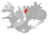
Hörgársveit
- Hörgársveit
-
Hörgársveit
Politique (2010-2014)
| Maire |
Guðmundur Sigvaldason |
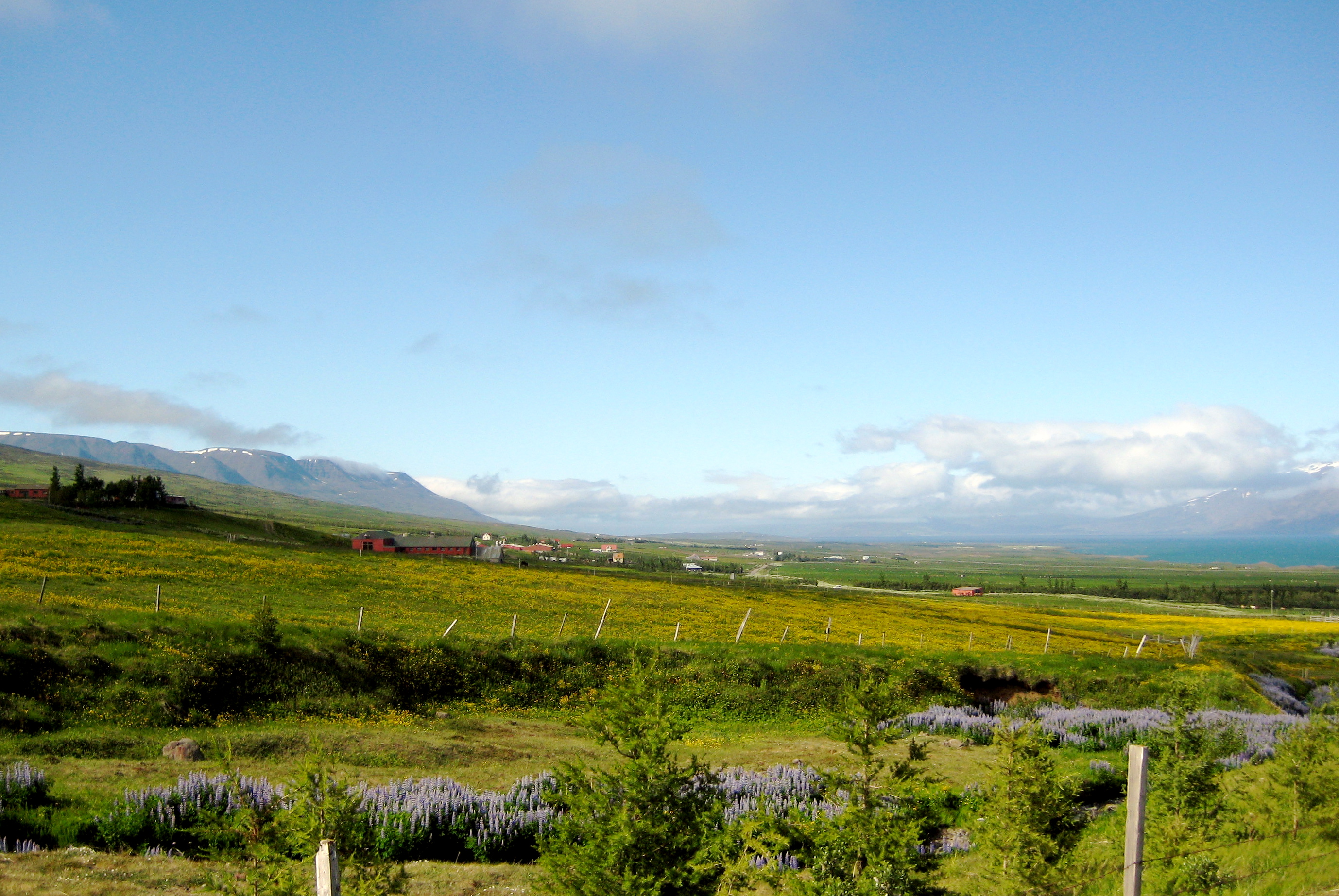
Hörgársveit (anciennement: Hörgárbyggð) est une municipalité du nord de l'Islande.
Histoire
Cette municipalité résulte d'un fusion des municipalités de Skriðuhreppur, Öxnadalshreppur et Glæsibæjarhreppur en janvier 2001. Lors de l'intégration de la municipalité d'Arnarneshreppur en 2010 le nom de la municipalité est devenu Hörgársveit.
Composition
Cette section est vide,
insuffisamment détaillée ou incomplète.
Votre aide est la bienvenue !
Compétence
Cette section est vide,
insuffisamment détaillée ou incomplète.
Votre aide est la bienvenue !
Démographie
Cette section est vide,
insuffisamment détaillée ou incomplète.
Votre aide est la bienvenue !
Catégorie : - Municipalité de Norðurland eystra
Wikimedia Foundation.
2010.
Contenu soumis à la licence CC-BY-SA. Source : Article Hörgársveit de Wikipédia en français (auteurs)
Regardez d'autres dictionnaires:
Hörgársveit — Basisdaten Staat: Island Region: Norðurland eystra Wahlkreis: Norðausturkjördæmi Sýsla … Deutsch Wikipedia
Municipalities of Iceland — Lower level municipality map of Iceland The municipalities of Iceland are local administrative areas in Iceland that provide a number of services to their inhabitants such as kindergartens, elementary schools, waste management, social services,… … Wikipedia
Öxnadalur — Hraundangi im Öxnadalur Das Öxnadalur ist ein Tal im Nordosten Islands. Es befindet sich zwischen Varmahlíð und Akureyri auf dem Gemeindegebiet von Hörgársveit. Inhaltsverzeichnis … Deutsch Wikipedia
Общины Исландии — (исл. Íslensk sveitarfélög) административные территории Исландии, самоуправление которых закрепленo в Конституции Исландии. Число общин на данный момент в Исландии составляет 76 … Википедия
Reykjavík — For the town in Canada, see Reykjavik, Manitoba. Reykjavík Reykjavíkurborg[1] View of Reykjavik from the top of Perlan showing the spire of … Wikipedia
Dalvík — For the Java virtual machine, see Dalvik (software). Dalvík Town and Municipality Location of the Municipality of Dalvíkurbyggð … Wikipedia
Mosfellsbær — The title of this article contains the character æ. Where it is unavailable or not desired, the name may be represented as Mosfellsbaer. Mosfellsbær Town and Municipality … Wikipedia
Norðurþing — Municipality Location of the Municipality of Norðurþing Country … Wikipedia
Ölfus — Sveitarfélagið Ölfus Location of the Municipality of Ölfus Coordinates … Wikipedia
Dalabyggð — Municipality Location of the Municipality of Dalabyggð Country … Wikipedia


 Islande