Gulgong
Contenu soumis à la licence CC-BY-SA. Source : Article Gulgong de Wikipédia en français (auteurs)
Regardez d'autres dictionnaires:
Gulgong — Original name in latin Gulgong Name in other language Gulgong State code AU Continent/City Australia/Sydney longitude 32.36253 latitude 149.53201 altitude 471 Population 2919 Date 2012 02 28 … Cities with a population over 1000 database
Gulgong — /ˈgʌlgɒŋ/ (say gulgong) noun a town in north eastern NSW, about 80 km east of Dubbo; formerly goldmining. {Australian Aboriginal} …
Gulgong Motel — (Gulgong,Австралия) Категория отеля … Каталог отелей
Gulgong, New South Wales — Infobox Australian Place | type = town name = Gulgong state = nsw caption = lga = Mid Western Regional Council postcode = 2852 est = pop = 2,021 elevation= 475 maxtemp = 23.0 mintemp = 9.5 rainfall = 647.8 stategov = Orange fedgov = Gwydir dist1 … Wikipedia
Sandy Hollow- Gulgong railway line, New South Wales — The Sandy Hollow Gulgong railway line is a railway line in northern New South Wales, Australia. The line forms a cross country connection with the Main North line and the Gwabegar line and ultimately on to the Main West line creating a circuitous … Wikipedia
Gwabegar railway line, New South Wales — The Gwabegar railway line is a railway line in the west of New South Wales, Australia which passes through the town of Mudgee to Gulgong and eventually heads to Gwabegar. The section from Wallerawang to Capertee was opened on 15 May, 1882; the… … Wikipedia
Tallawang, New South Wales — Infobox Australian Place | type = town name = Tallawang state = nsw caption = lga = Mid Western Regional Council postcode = 2852 est = pop = pop footnotes= elevation= elevation footnotes= maxtemp = mintemp = rainfall = stategov = Orange fedgov =… … Wikipedia
Merriwa railway line — branching left off main north line at Muswellbrook … Wikipedia
Castlereagh Highway — Straßenverlauf Dick O Brien Bridge (1991) über den … Deutsch Wikipedia
Main North railway line, New South Wales — For other railways called Main North Line, see Main North Line. For other railways called Great Northern, see Great Northern Railway. [v · d · … Wikipedia
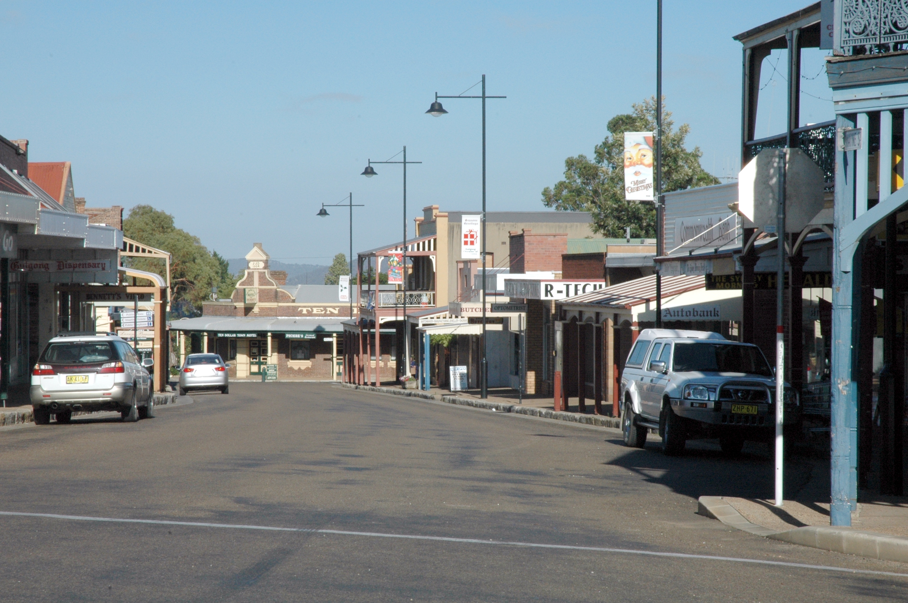
 La grand'rue de Gulgong
 Australie
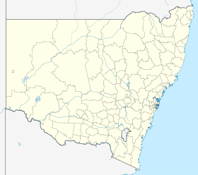
 Gulgong