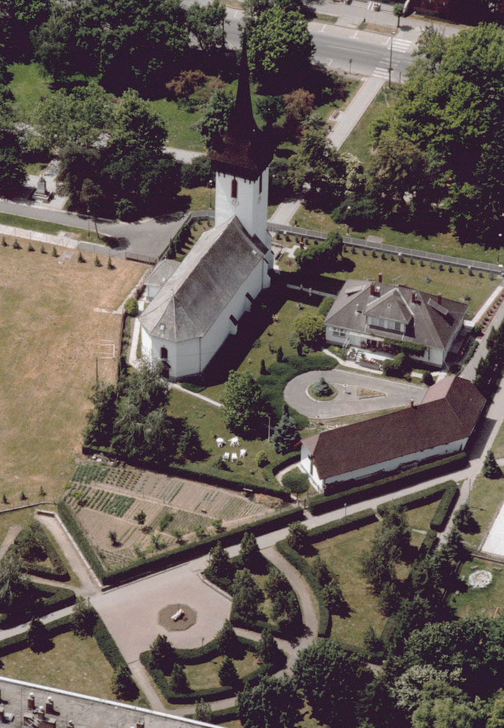
Fehérgyarmat
Contenu soumis à la licence CC-BY-SA. Source : Article Fehérgyarmat de Wikipédia en français (auteurs)
Regardez d'autres dictionnaires:
Fehérgyarmat — (spr. féhēr djármat), Großgemeinde im ungar. Komitat Szatmár, nahe dem rechten Szamosufer, an der Staatsbahnlinie Szatmár F., mit Bezirksgericht und (1901) 4220 magyar. Einwohnern (Reformierte) … Meyers Großes Konversations-Lexikon
Fehérgyarmat — (spr. djár ), Großgemeinde im ungar. Komitat Szatmár, (1900) 4220 E.; Tabakbau … Kleines Konversations-Lexikon
Fehérgyarmat — Infobox Settlement settlement type = subdivision type = Country subdivision name = HUN latd= |latm= |lats= |latNS=N longd= |longm= |longs= |longEW=Epushpin pushpin label position = pushpin map caption = pushpin mapsize = timezone=CET utc… … Wikipedia
Fehergyarmat — Original name in latin Fehrgyarmat Name in other language Fehergyarmat, Fehrgyarmat State code HU Continent/City Europe/Budapest longitude 47.98333 latitude 22.51667 altitude 111 Population 9031 Date 2012 01 18 … Cities with a population over 1000 database
Kleingebiet Fehergyarmat — Koordinaten fehlen! Hilf mit. Das Kleingebiet Fehérgyarmat (ungarisch Fehérgyarmati kistérség) ist eine ungarische Verwaltungseinheit (LAU 1) innerhalb des Komitat Szabolcs Szatmár Bereg in Ostungarn. Der Verwaltungssitz ist Fehérgyarmat.… … Deutsch Wikipedia
Kleingebiet Fehérgyarmat — Das Kleingebiet Fehérgyarmat (ungarisch Fehérgyarmati kistérség) ist eine ungarische Verwaltungseinheit (LAU 1) innerhalb des Komitat Szabolcs Szatmár Bereg in Ostungarn. Der Verwaltungssitz ist Fehérgyarmat. Ortschaften Die folgenden Ortschaften … Deutsch Wikipedia
HU-SZ — Koordinaten fehlen! Hilf mit. Szabolcs Szatmár Bereg Szabolcs Szatmár Bereg Komitatssitz … Deutsch Wikipedia
Szabolcs-Szatmar-Bereg — Koordinaten fehlen! Hilf mit. Szabolcs Szatmár Bereg Szabolcs Szatmár Bereg Komitatssitz … Deutsch Wikipedia
Szabolcs-Szatmár-Bereg — Koordinaten fehlen! Hilf mit. Szabolcs Szatmár Bereg Szabolcs Szatmár Bereg Komitatssitz … Deutsch Wikipedia
Komitat Szabolcs-Szatmár-Bereg — Szabolcs Szatmár Bereg … Deutsch Wikipedia

 Hongrie


 Fehérgyarmat