Dolné Orešany
- Dolné Orešany
-
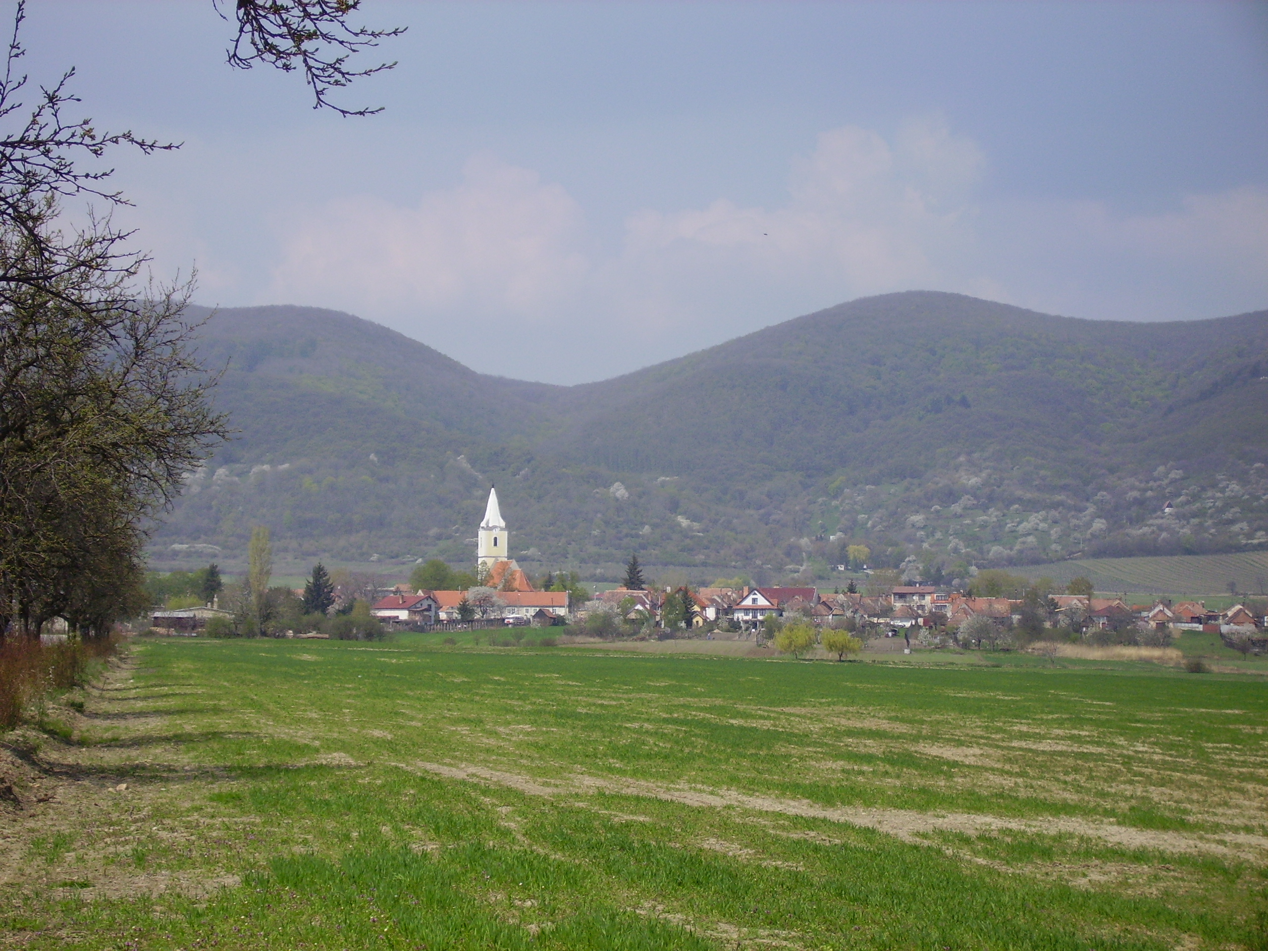
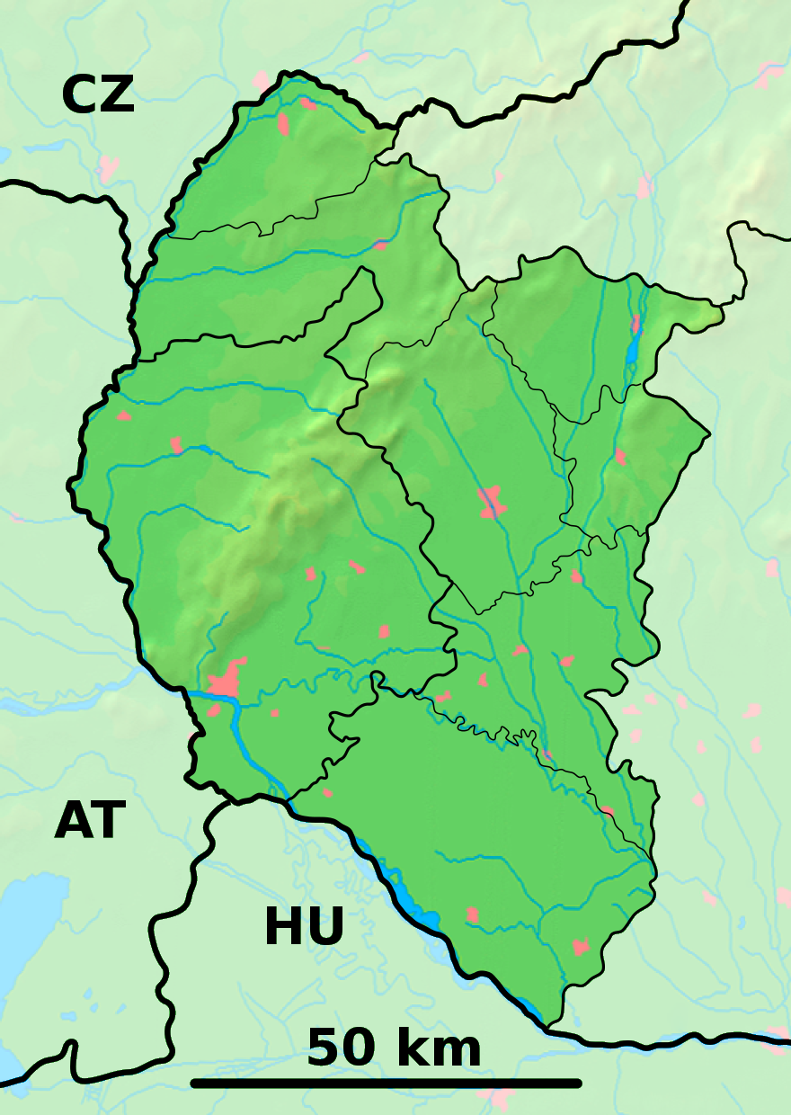
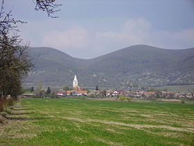
Dolné Orešany (allemand : Unternußdorf , hongrois : Alsódiós)[4] est un village de Slovaquie situé dans la région de Trnava.
Histoire
Première mention écrite du village en 1235.
Notes et références
Catégories : - Village de Slovaquie
- Village et ville du district de Trnava
Wikimedia Foundation.
2010.
Contenu soumis à la licence CC-BY-SA. Source : Article Dolné Orešany de Wikipédia en français (auteurs)
Regardez d'autres dictionnaires:
Dolné Orešany — Coordinates: 48°26′20″N 17°25′41″E / 48.43889°N 17.42806°E / 48.43889; 17.42806 … Wikipedia
Dolné Dubové — (Village) Administration Pays … Wikipédia en Français
Dolné Lovčice — (Village) Administration Pays Slovaquie … Wikipédia en Français
Orešany (disambiguation) — Orešany is a municipality in the Topoľčany District, Nitra Region, Slovakia. Orešany may also refer to: Dolné Orešany, a village and municipality of Trnava District, Trnava region, Slovakia Horné Orešany, a village and municipality of Trnava… … Wikipedia
Dolné Dubové — Coordinates: 48°29′N 17°37′E / 48.483°N 17.617°E / 48.483; 17.617 … Wikipedia
Dolné Lovčice — (Hungarian: Alsólóc) is a village and municipality of Trnava District in the Trnava region of Slovakia. External links … Wikipedia
Horné Orešany — Coordinates: 48°28′N 17°26′E / 48.467°N 17.433°E / 48.467; 17.433 … Wikipedia
Horné Orešany — (Village) Administration Pays … Wikipédia en Français
List of municipalities and towns in Slovakia — Slovakia This is a comprehensive list of municipalities and towns in Slovakia. For lists of towns and municipalities sorted by Regions see the individual articles on Regions. For an outdated list of towns only in Slovakia see also List of towns… … Wikipedia
Liste deutscher Bezeichnungen slowakischer Orte — In dieser Liste werden slowakischen Orten (Städte, Flüsse, Gebirge, etc.) deren deutsche Bezeichnungen gegenübergestellt, die sie aus deutschsprachiger Sicht heute noch tragen oder zu Zeiten trugen, als die Gebiete zur Donaumonarchie gehörten.… … Deutsch Wikipedia
 Slovaquie
 Dolné Orešany