Dechtice
- Dechtice
-
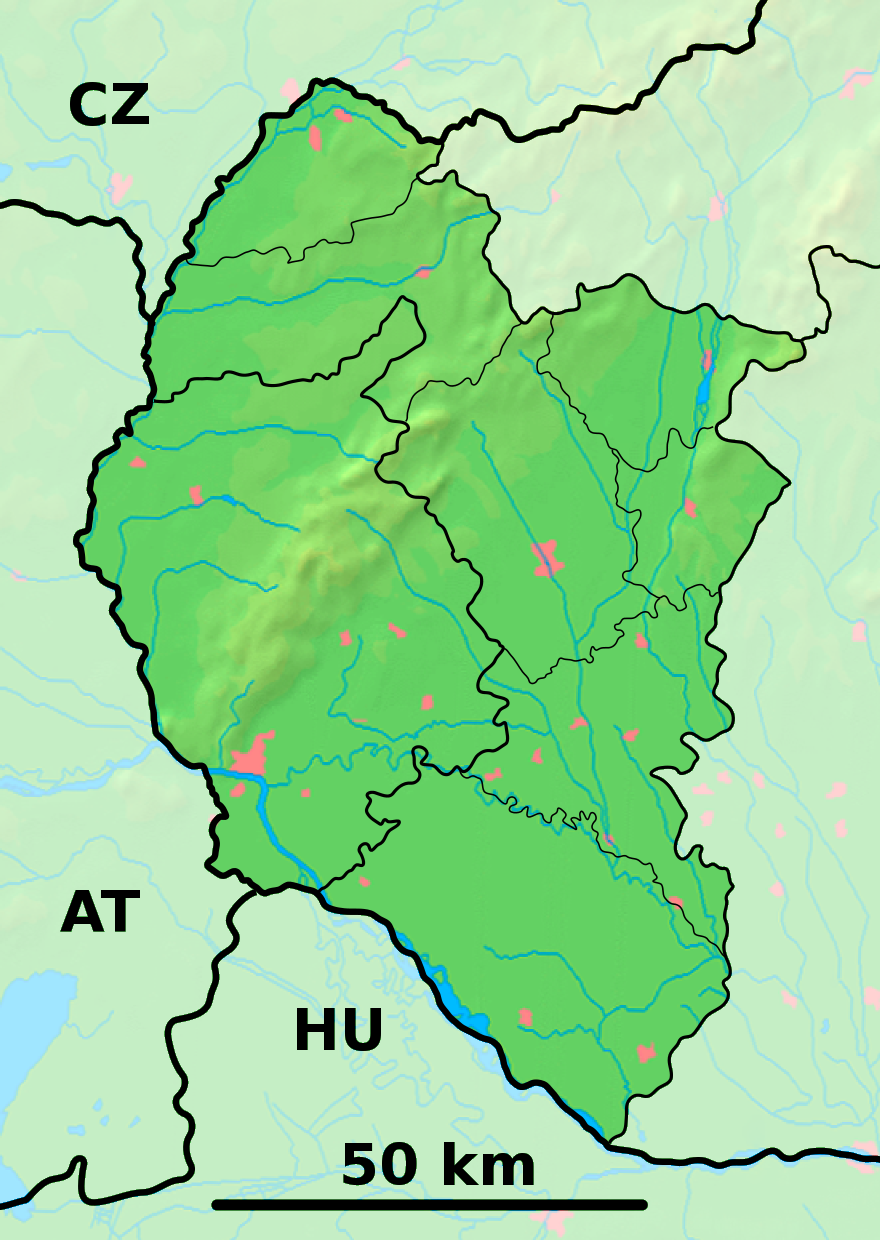
Dechtice (allemand : Degitz , hongrois : Dejte)[4] est un village de Slovaquie situé dans la région de Trnava.
Histoire
Première mention écrite du village en 1258.
Notes et références
Catégories :
- Village de Slovaquie
- Village et ville du district de Trnava
Wikimedia Foundation.
2010.
Contenu soumis à la licence CC-BY-SA. Source : Article Dechtice de Wikipédia en français (auteurs)
Regardez d'autres dictionnaires:
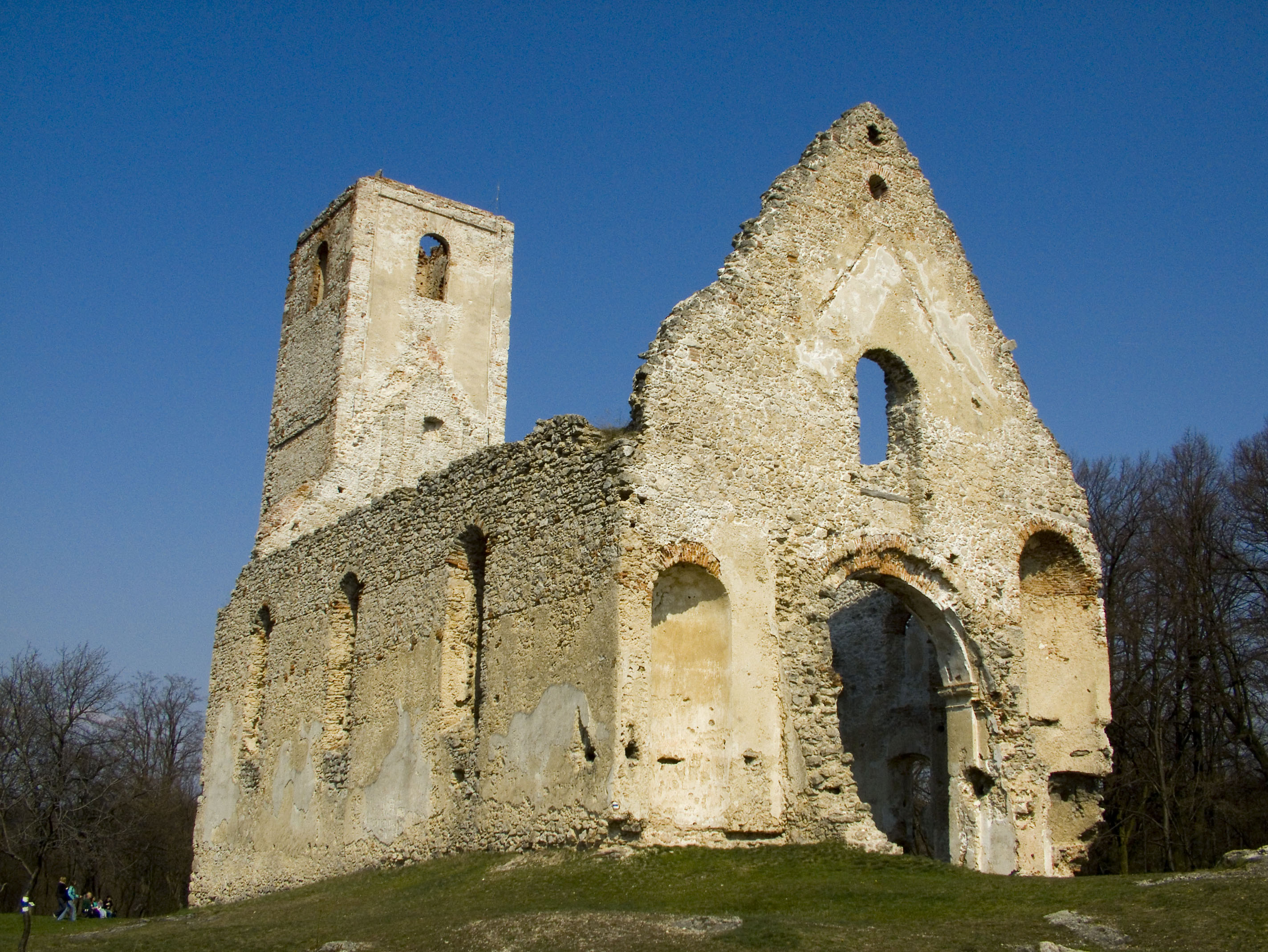
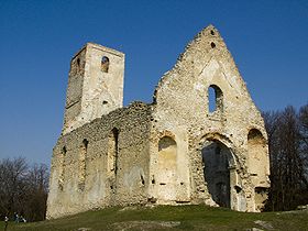
Dechtice — Ruins of the monastery of St. Catherine in Dechtice Dechtice is a municipality of Trnava District in the Trnava region of Slovakia. There is the Roman Catholic Church of St. Catherine of Alexandria from 1652 and the cemetery of All Saints Church… … Wikipedia
Katarínka — (German St. Katharein ) are the ruins of a Franciscan monastery dating back to early 17th century, located deep in the forests of Little Carpathians ( Malé Karpaty ) mountains of western Slovakia, 20 km north of Trnava over Dubovský creek, close… … Wikipedia
Marienerscheinung — Lourdes, Marienstatue Bei Marienerscheinungen handelt es sich um Visionen, bei denen Zeugen sogenannte Seher berichten, dass ihnen Maria erschienen sei. Marienerscheinungen sind für die gesamte christliche Ära bezeugt. Bereits Jakobus dem Älteren … Deutsch Wikipedia
Trnava — For other uses, see Trnava (disambiguation). Coordinates: 48°22′39″N 17°35′18″E / 48.3775°N 17.58833°E / 48.3775; 17.58833 … Wikipedia
Trnava Region — Geobox | Region name = Trnava category = Region image caption = image caption = symbol = symbol type = etymology = official name = motto = nickname = country = Slovakia country state = region = district = commune = municipality = border = part… … Wikipedia
Trnava District — District Country Slovakia Region ( … Wikipedia
Cífer — Coordinates: 48°19′00″N 17°30′00″E / 48.3166667°N 17.5°E / 48.3166667; 17.5 … Wikipedia
Dlhá — is a municipality of Trnava District in the Trnava region of Slovakia. External links http://www.statistics.sk/mosmis/eng/run.html … Wikipedia
Dobrá Voda — (literally good water ) (Hungarian: Jókő) is a municipality of Trnava District in the Trnava region of Slovakia … Wikipedia
Dolná Krupá — Coordinates: 48°29′N 17°33′E / 48.483°N 17.55°E / 48.483; 17.55 … Wikipedia
 Slovaquie
 Dechtice