Csóványos
- Csóványos
-
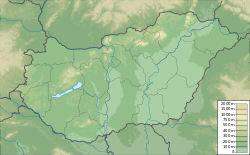
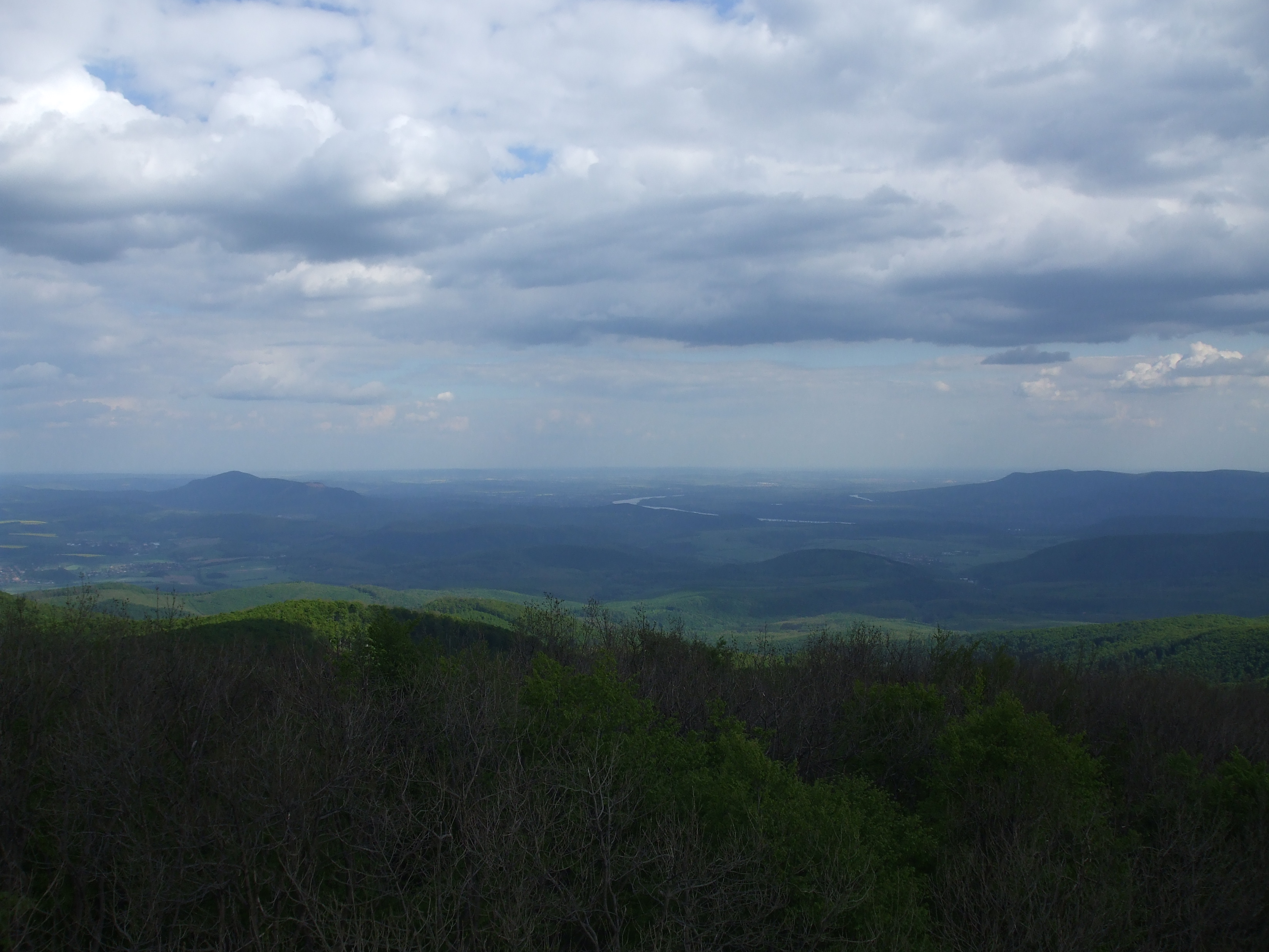
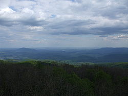
Le Csóványos est le dix-neuvième sommet de la Hongrie. Il est situé dans les monts Börzsöny, à la limite des comitats de Pest et Nógrád.
Voir aussi
Catégories :
- Sommet de Hongrie
- Sommet des Carpates
- Carpates occidentales
Wikimedia Foundation.
2010.
Contenu soumis à la licence CC-BY-SA. Source : Article Csóványos de Wikipédia en français (auteurs)
Regardez d'autres dictionnaires:
Csóványos — Elevation 938 m (3,077 ft) [ … Wikipedia
Csóványos — Panorama vom Aussichtsturm auf dem Csóványos Höhe 938 … Deutsch Wikipedia
Csovanyos — p1 Börzsöny Das Börzsöny von der Burgruine von Nógrád aus gesehen (Blick nach NW) Höchster Gipfel Csóványos ( … Deutsch Wikipedia
Börzsöny — p1 Börzsöny Das Börzsöny von der Burgruine von Nógrád aus gesehen (Blick nach NW) Höchster Gipfel Csóványos ( … Deutsch Wikipedia
Pilsen-Gebirge — p1 Börzsöny Das Börzsöny von der Burgruine von Nógrád aus gesehen (Blick nach NW) Höchster Gipfel Csóványos ( … Deutsch Wikipedia
Geography of Hungary — Satellite image showing the seven main geographical regions of Hungary (in parenthesis: major region): 1., Great Alföld (Great Alföld) 2., North Hungarian Mountains (North Hungarian Mountains) 3., Transdanubian Mountains (Transdanubia) 4.,… … Wikipedia
Börzsöny — is a mountain range in Northern Hungary. Its tallest peak is the Csóványos with 938 metres.ee also* Geography of Hungary * Northern Medium Mountains (Hungary) * Countrywide Blue Tour in Hungary … Wikipedia
Northern Medium Mountains (Hungary) — This page is about the Hungarian geographical region, called Northern Medium Mountains . For the similar region in Slovakia, see Mátra Slanec Area. Hu georegion name=Northern Medium Mountains imagecaption=The view of the valley of Lillafüred in… … Wikipedia
Countrywide Blue Tour in Hungary — The route of the Countrywide Blue Tour in Hungary The Countrywide Blue Tour (in Hungarian: Országos Kéktúra, Kéktúra or simply OKT) is a part of the Hungarian section of the European Long Distance Walking Route E4. The route starts atop the… … Wikipedia
European walking route E4 — is one of the European long distance paths starting in Spain at its southernmost point and leading through France, Switzerland, Germany, Austria, Hungary, Romania and Bulgaria to end in Greece. It visits the Greek islands of Crete and Cyprus.Its… … Wikipedia
 Hongrie