Bastendorf
Contenu soumis à la licence CC-BY-SA. Source : Article Bastendorf de Wikipédia en français (auteurs)
Regardez d'autres dictionnaires:
Bastendorf — Infobox Luxembourg former commune Name = Bastendorf LuxName = Baastenduerf District = Diekirch Canton = Diekirch Creation = Original commune Abolition = 1 January 2006 Currently = Part of TandelBastendorf ( lb. Baastenduerf) is a small town in… … Wikipedia
Diekirch (canton) — Diekirch Dikrech Canton Coordinates … Wikipedia
Vianden (canton) — Infobox Luxembourg canton localnames = Vianden Veianen name = Vianden district = Diekirch capital = Vianden circonscription = Nord lau1 = LU00002 area = 78.52 arearank = 12th highestpoint = 542 highestrank = 3rd lowestpoint = 190 lowestrank = 5th … Wikipedia
Tandel — Infobox Luxembourg commune name = Tandel luxname = Tandel arms = Coat of arms tandel luxbrg.png LAU2 = 04001 canton = Vianden district = DiekirchTandel is a commune and village in eastern Luxembourg, in the canton of Vianden. It lies close to the … Wikipedia
Ali Kaes — (born 4 April 1955 in Diekirch) is a Luxembourgian politician for the Christian Social People s Party and trade unionist.fr icon cite web |url=http://www.chd.lu/fr/organisation/membres/membres.jsp?ID=309 |title=Ali Kaes |accessdate=2008 01 05… … Wikipedia
Bettel (Luxemburg) — Wappen Karte Basisdaten Distrikt … Deutsch Wikipedia
Naturpark Our — Tal der Our bei Vianden … Deutsch Wikipedia
Tandel — Wappen Karte Basisdaten Distrikt: Diekirch … Deutsch Wikipedia
Histoire Des Communes Luxembourgeoises — Sommaire 1 Histoire 2 Communes disparues par dissolution 3 Communes disparues par fusion avec une commune existante 4 … Wikipédia en Français
Histoire des communes luxembourgeoises — Sommaire 1 Histoire 2 Communes disparues par dissolution 3 Communes disparues par fusion avec une commune existante 4 Commu … Wikipédia en Français
 Bastendorf
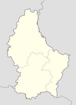

 Luxembourg