Bruthen
Contenu soumis à la licence CC-BY-SA. Source : Article Bruthen de Wikipédia en français (auteurs)
Regardez d'autres dictionnaires:
Bruthen — Blick nach Osten auf die Great Alpine Road vom westlichen Bruthen aus Staat … Deutsch Wikipedia
bruthen — adj. == fierce, fiercely boiling, ‘a bruthen led.’ Rel. S. v. 242. Connected with ‘breth,’ and AS. bredan, to warm … Oldest English Words
Bruthen, Victoria — Infobox Australian Place | type = town name = Bruthen state = vic caption = Looking east along the Great Alpine Road in Bruthen from the western side of town lga = Shire of East Gippsland postcode = 3885 est = pop = 624 (2006)Census 2006 AUS | id … Wikipedia
bruthen — … Useful english dictionary
Omeo & District Football League — The logo of the Omeo District Football League (ODFL) Swifts Creek … Wikipedia
Tambo River — und Tambo Valley südlich von EnsayVorlage:Infobox Fluss/KARTE fehlt … Deutsch Wikipedia
East Gippsland Rail Trail — MelbourneBikePath DESCRIPTION=East Gippsland Rail Trail Signage NAME=East Gippsland Rail Trail LENGTH=96 km DIFFICULTY=Easy to medium HILLS=Extended shallow gradients, short hills to and from original track height, undulating hills… … Wikipedia
Great Alpine Road — Formerly … Wikipedia
Great Alpine Road — Blick von Myrtleford zum Mount Buffalo National Park Die Great Alpine Road (B500)[1][2] ist eine Überlandstraße für Touristen im Osten des australischen Bundesstaates Victoria, die von Wangaratta im Nor … Deutsch Wikipedia
List of localities in Victoria (Australia) — Map of Local Government Areas in Victoria This is a list of locality names and populated place names in the state of Victoria, Australia, outside the Melbourne metropolitan area. It is organised by region from the south west of the state to the… … Wikipedia
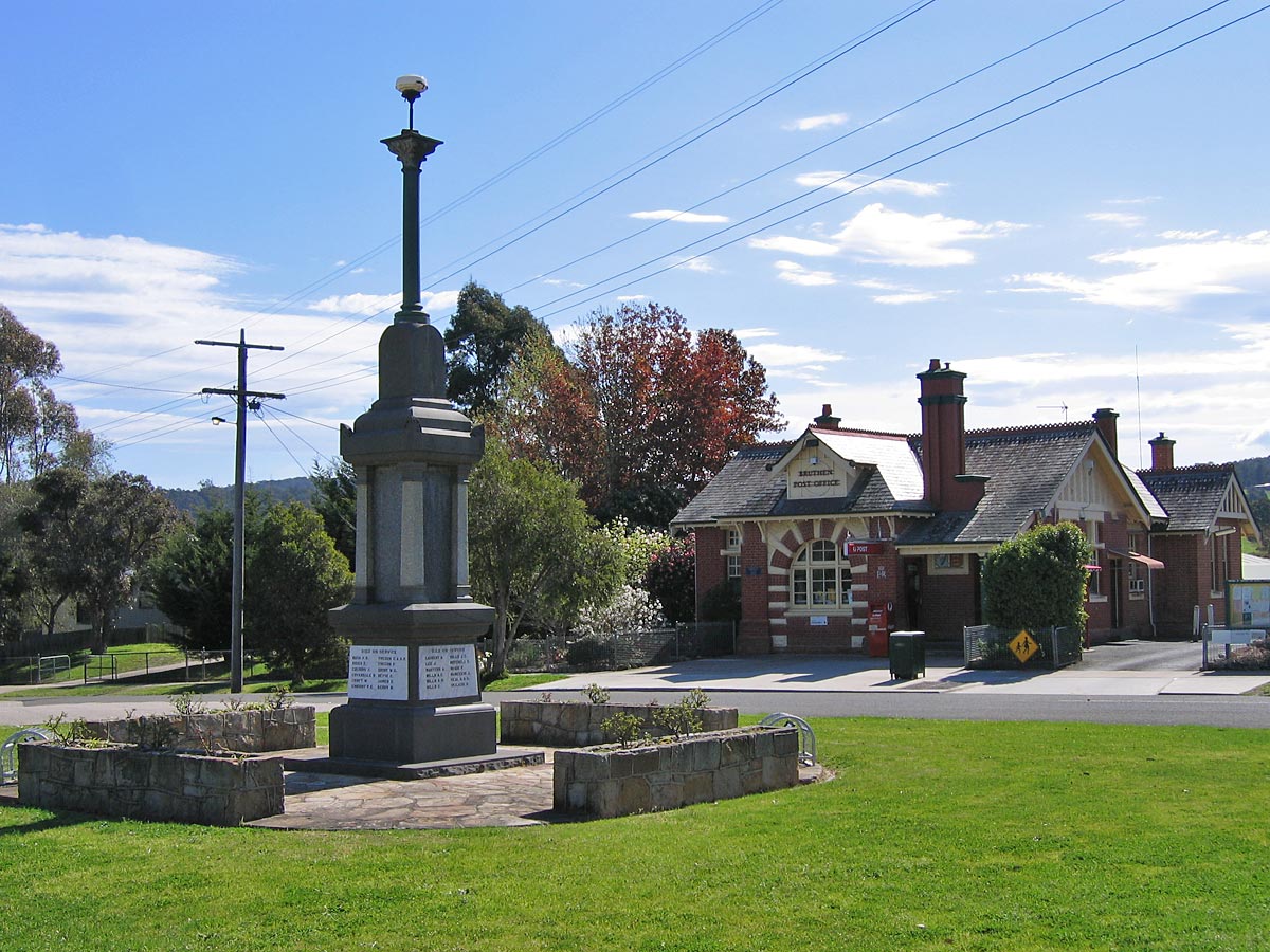
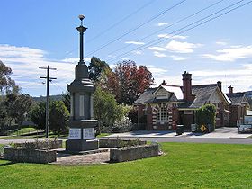 Le monument aux morts et le bureau de poste de Bruthen
 Australie