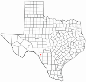
Brackettville
Contenu soumis à la licence CC-BY-SA. Source : Article Brackettville de Wikipédia en français (auteurs)
Regardez d'autres dictionnaires:
Brackettville — Brackettville, TX U.S. city in Texas Population (2000): 1876 Housing Units (2000): 766 Land area (2000): 3.170072 sq. miles (8.210449 sq. km) Water area (2000): 0.000000 sq. miles (0.000000 sq. km) Total area (2000): 3.170072 sq. miles (8.210449… … StarDict's U.S. Gazetteer Places
Brackettville, TX — U.S. city in Texas Population (2000): 1876 Housing Units (2000): 766 Land area (2000): 3.170072 sq. miles (8.210449 sq. km) Water area (2000): 0.000000 sq. miles (0.000000 sq. km) Total area (2000): 3.170072 sq. miles (8.210449 sq. km) FIPS code … StarDict's U.S. Gazetteer Places
Brackettville — Original name in latin Brackettville Name in other language State code US Continent/City America/Chicago longitude 29.31051 latitude 100.41786 altitude 340 Population 1688 Date 2011 05 14 … Cities with a population over 1000 database
Brackettville — Sp Brãketvilis Ap Brackettville L JAV Kinio apyg. c. (Teksasas) … Pasaulio vietovardžiai. Internetinė duomenų bazė
Brackettville, Texas — Infobox Settlement official name = Brackettville, Texas settlement type = City nickname = motto = imagesize = image caption = image mapsize = 250px map caption = Location of Brackettville, Texas mapsize1 = 250px map caption1 = subdivision type =… … Wikipedia
Alamo Village — is an active movie set and tourist attraction north of Brackettville, Texas, United States. Alamo Village, the first movie location built in Texas, was constructed as the setting for The Alamo (1960), directed by John Wayne and starring Wayne,… … Wikipedia
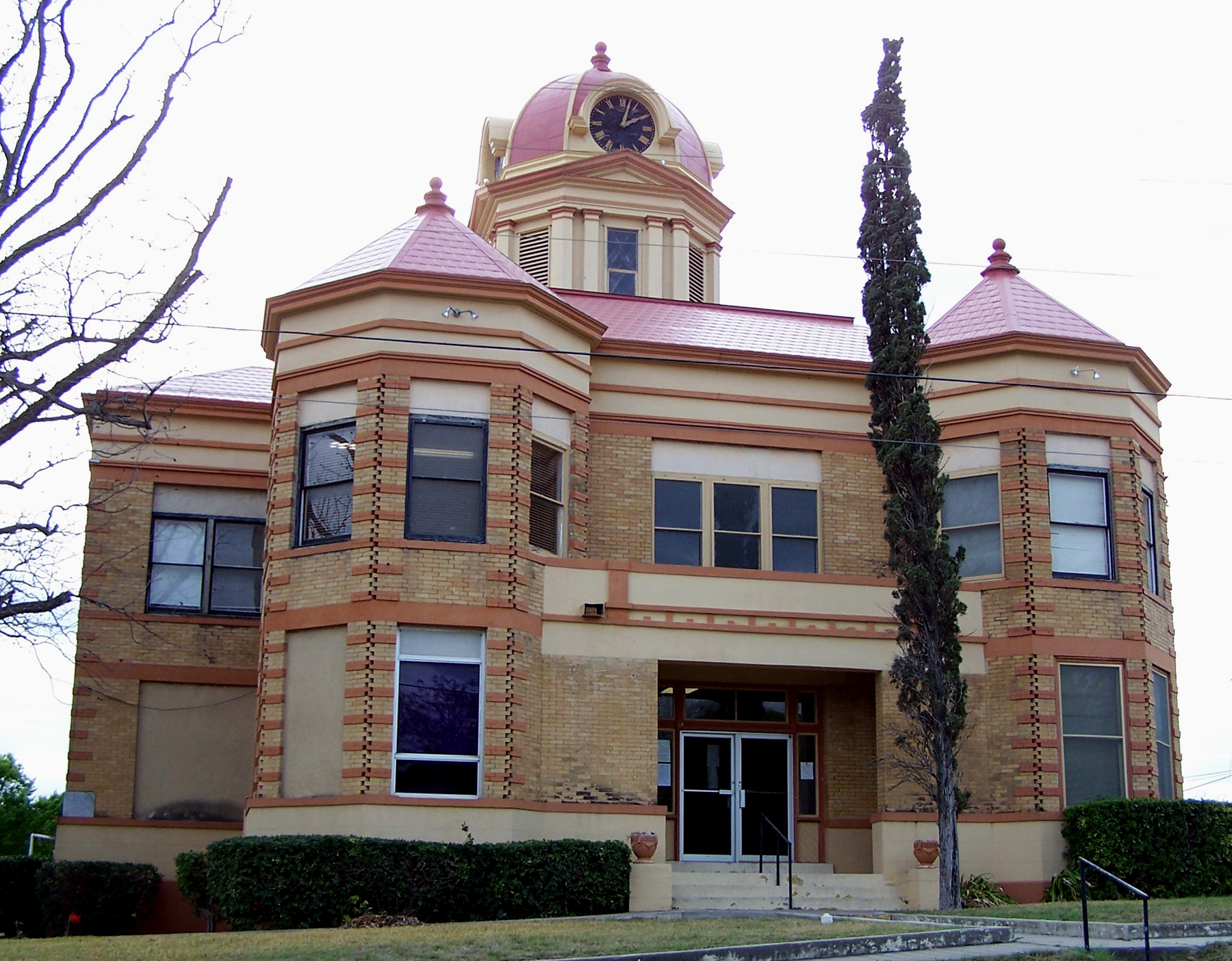
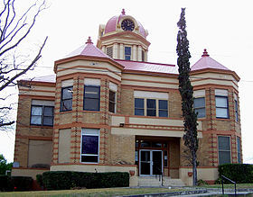
Kinney County — Courthouse, gelistet im NRHP mit der Nr. 04000230[1] Verwaltung US Bundesstaat … Deutsch Wikipedia
Kinney County, Texas — Infobox U.S. County county = Kinney County state = Texas map size = 250 founded = 1876 seat = Brackettville | area total sq mi =1365 area land sq mi =1363 area water sq mi =2 area percentage = 0.14% census yr = 2000 pop = 3379 density km2 =1 web … Wikipedia
Forts of Texas — The Forts of Texas include a number of historical and operational military installations. For over two hundred years, various groups fought over access to or control over the region that is now Texas. Possession of the region was claimed and… … Wikipedia
Spofford, Texas — Infobox Settlement official name = Spofford, Texas settlement type = City nickname = motto = imagesize = image caption = image pushpin mapsize = imagesize = image caption = image pushpin mapsize = mapsize = 300px map caption = mapsize1 = map… … Wikipedia
 États-Unis
 Texas
Texas