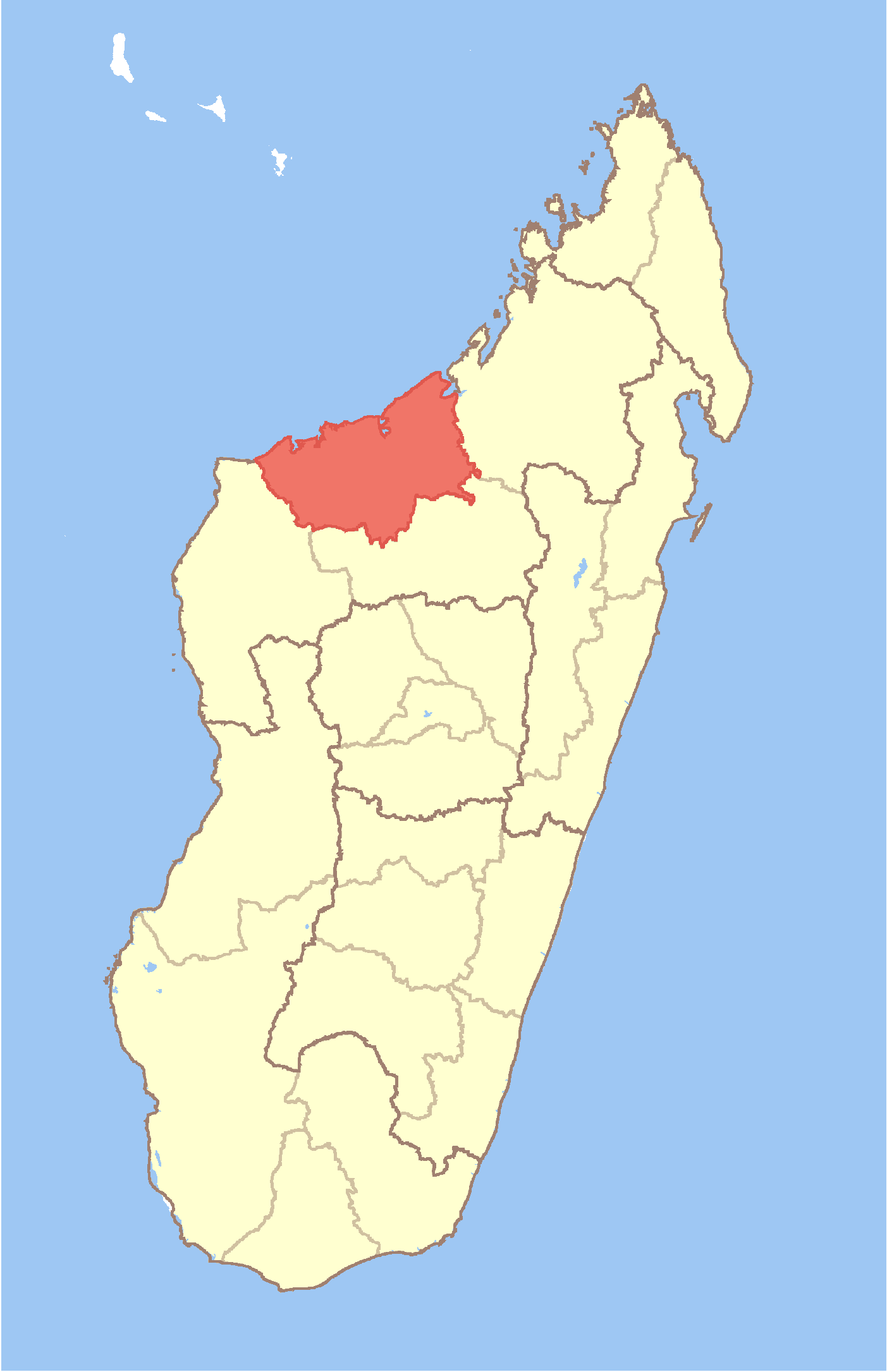
Boanamary
- Boanamary
-
15° 50′ 00″ S 46° 19′ 00″ E / -15.833333, 46.316667
Boanamary est une commune urbaine malgache située dans la partie nord-est de la région de Boeny.
Géographie
Cette section est vide, insuffisamment détaillée ou incomplète.
Votre aide est la bienvenue !
Démographie
Cette section est vide, insuffisamment détaillée ou incomplète.
Votre aide est la bienvenue !
Économie
Cette section est vide, insuffisamment détaillée ou incomplète.
Votre aide est la bienvenue !
Notes et références
Voir aussi
Articles connexes
Wikimedia Foundation.
2010.
Contenu soumis à la licence CC-BY-SA. Source : Article Boanamary de Wikipédia en français (auteurs)
Regardez d'autres dictionnaires:
Boanamary — Infobox Settlement official name = Boanamary other name = native name = nickname = settlement type = motto = imagesize = image caption = flag size = image seal size = image shield = shield size = image blank emblem = blank emblem type = blank… … Wikipedia
Mahajanga — [maːˈdzaŋɡə̥] (French: Majunga) is a city and a district on the north west coast of Madagascar. Contents 1 City 2 District … Wikipedia
Marosakoa — Marosakoa … Wikipedia
Mitsinjo — Mitsinjo … Wikipedia
Marovoay — Marovoay … Wikipedia
Manaratsandry — Manaratsandry … Wikipedia
Marovoay Banlieue — Marovoay Banlieue … Wikipedia
Manerinerina — Manerinerina … Wikipedia
Mahajamba Usine — Mahajamba Usine … Wikipedia
Mariarano — Mariarano … Wikipedia
 Madagascar