Alashkert
- Alashkert
-
40° 06′ 48″ N 44° 03′ 19″ E / 40.113333, 44.055278
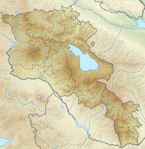
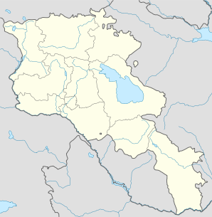
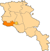
Alashkert (en arménien Ալաշկերտ ; jusqu'en 1935 Karim-Arkh[2] puis Sovetakan) est une communauté rurale du marz d'Armavir, en Arménie. Elle compte 1 815 habitants en 2009[3].
Notes et références
- ↑ (hy+en) Central Electoral Commission of the Republic of Armenia. Consulté le 24 janvier 2011.
Pour obtenir la page en anglais, cliquez sur le drapeau arménien en haut à gauche, et sélectionnez « English » ; ensuite, dans le menu vertical de gauche, cliquez sur « Local », sélectionnez le
marz pertinent, puis la dernière élection correspondant à la communauté voulue.
- ↑ (en) Brady Kiesling, Rediscovering Armenia, 2000, p. 39 [lire en ligne (page consultée le 25 mars 2010)] .
- ↑ (en) ArmStat, Marzes of the Republic of Armenia in figures, « RA Armavir Marz », 2009. Consulté le 7 décembre 2009.
Wikimedia Foundation.
2010.
Contenu soumis à la licence CC-BY-SA. Source : Article Alashkert de Wikipédia en français (auteurs)
Regardez d'autres dictionnaires:
Alashkert Martuni — is an Armenian football club from Martuni. The club participated as in the first ever Armenian football competition after the split up from the Soviet Union. After the regular competition they did not qualify for the championship stage, but were… … Wikipedia
Championnat d'Arménie de football 1992 — Infobox compétition sportive Premier Liga 1992 Édition 1re Participants 24 Promu(s) Aucun (première édition) … Wikipédia en Français
Battle of Khasdour — Infobox Military Conflict conflict=Battle of Khasdour caption= partof= date= place=Alashkert Valley| result=None combatant1= combatant2= Armenians commander1= commander2= strength1= strength2= casualties1= casualties2= The Battle of Khasdour took … Wikipedia
Russo-Turkish War (1877–1878) — Plevna Monument near the walls of Kitai gorod … Wikipedia
List of Armenia-related articles — Articles (arranged alphabetically) related to Armenia include:#1268 Cilicia earthquake · 1896 Ottoman Bank Takeover · 1965 Yerevan demonstrations · 1988 Spitak earthquake · 1992 in Armenian football · 1993 in Armenian football · 1993 Summer… … Wikipedia
Drastamat Kanayan — Դրաստամատ Կանայեան Drastamat Dro Kanayan 1st Defense Minister of Armenia In office 30 May 1918 – 28 May 1919 Preceded by … Wikipedia
Russian Armenia — (Armenian: Ռուսական Հայաստան) is the period of Armenia s history under Russian rule beginning from 1829, when Eastern Armenia became part of the Russian Empire to the declaration of the Democratic Republic of Armenia in 1918.BackgroundFor… … Wikipedia
Eleşkirt — Eleşkirt, formerly Alashkert ( hy. Ալաշկերտ), is a town and district of Ağrı Province in Turkey. It was known as Vaghashkert ( hy. Վաղաշկերտ) in medieval times.Places to seeEleşkirt is a small town on a plain surrounded by high mountains, that… … Wikipedia
List of football clubs in Armenia — This is a list of Armenian football (soccer) clubs.*Achin Nor Achin *Akhtamar Sevan *Alashkert Martuni *Almaz Yerevan *Arabkir Yerevan *Aragats Gyumri *FC Araks Ararat *Araks Armavir *Araks Oktemberyan *FC Ararat Yerevan *Arpa Yeghegnadzor *FC… … Wikipedia
Nerkin Getashen — Coordinates: 40°08′45″N 45°15′50″E / 40.14583°N 45.26389°E / 40.14583; 45.26389 … Wikipedia
 Arménie


