Vanand
- Vanand
-
40° 08′ 00″ N 43° 49′ 00″ E / 40.133333, 43.816667
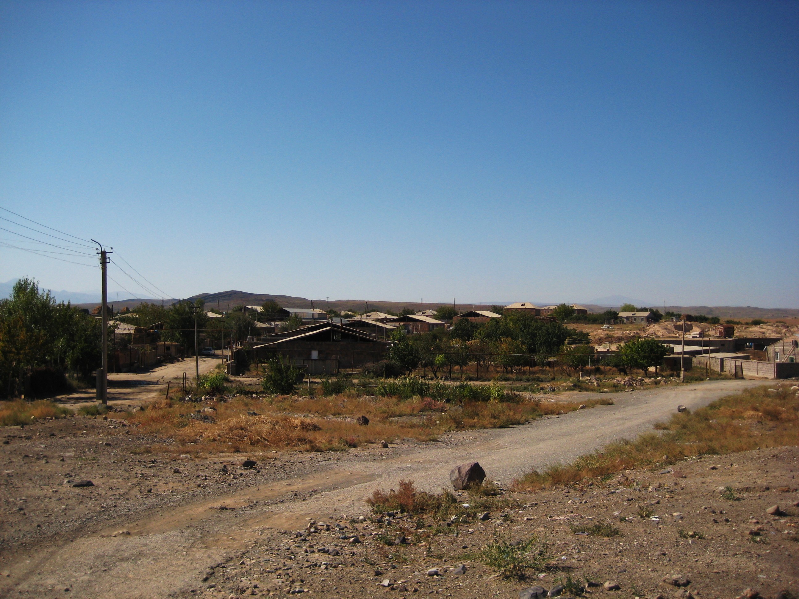
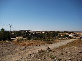
Vanand (en arménien Վանանդ) est une communauté rurale du marz d'Armavir, en Arménie. Elle compte 1 070 habitants en 2009[2].
Notes et références
- ↑ (hy+en) Central Electoral Commission of the Republic of Armenia. Consulté le 24 janvier 2011.
Pour obtenir la page en anglais, cliquez sur le drapeau arménien en haut à gauche, et sélectionnez « English » ; ensuite, dans le menu vertical de gauche, cliquez sur « Local », sélectionnez le
marz pertinent, puis la dernière élection correspondant à la communauté voulue.
- ↑ (en) ArmStat, Marzes of the Republic of Armenia in figures, « RA Armavir Marz », 2009. Consulté le 13 décembre 2009.
Sur les autres projets Wikimedia :
Wikimedia Foundation.
2010.
Contenu soumis à la licence CC-BY-SA. Source : Article Vanand de Wikipédia en français (auteurs)
Regardez d'autres dictionnaires:
Vanand — For the modern town in Armavir Province, Armenia, see Vanand, Armavir; for the village in Azerbaijan, see Vənənd. Vanand ( hy. Վանանդ) is the name used to describe the area of historic Armenia that roughly corresponds to the Kars Province of… … Wikipedia
Vanand, Armavir — Infobox Settlement official name =Vanand Վանանդ native name = pushpin mapsize =150px subdivision type = Country subdivision name = Armenia subdivision type1 = Marz (Province) subdivision name1 =Armavir leader title = leader name = established… … Wikipedia
Kars, Turkey — Infobox Settlement settlement type = subdivision type = Country subdivision name = TUR timezone=EET utc offset=+2 map caption =Location of Kars, Turkey within Turkey. timezone DST=EEST utc offset DST=+3official name = Kars image caption =… … Wikipedia
Armenian nobility — has a long history with many interruptions, most notable of which was the Russian occupation. After Armenia regained her independence in 1991 efforts have been made to revive the influence of the traditional noble houses. TerminologyMembers of… … Wikipedia
Yasht — (Pahlavi und Neupersisch: Yašt/یشت, stammend von „Yašti“ und „yaz“: anbeten, opfern, preisen im Alt Avestischen; verwandt mit Yasna): Den dritten Abschnitt des Avestas, der heiligen Schrift der Anhänger des iranischen Religionsstifters… … Deutsch Wikipedia
Giout d'Arahez — Գյուտ Արահեզացի Naissance ca. 395 Décès 478 Désignation 461 Fin 478 Prédécesseur Movsès Ier Succes … Wikipédia en Français
List of Armenia-related articles — Articles (arranged alphabetically) related to Armenia include:#1268 Cilicia earthquake · 1896 Ottoman Bank Takeover · 1965 Yerevan demonstrations · 1988 Spitak earthquake · 1992 in Armenian football · 1993 in Armenian football · 1993 Summer… … Wikipedia
Kars Province — Infobox Province TR region = Eastern Anatolia name = Kars total population = 287,106 area=9,587 licence = 36 area code= 474|Kars is a province (Lang tr|il) of Turkey, located in the northeastern part of the country. It shares part of its border… … Wikipedia
Democratic Republic of Armenia — Հայաստանի Առաջին Հանրապետութիւն Republic ← … Wikipedia
Dapoli — mini mahableshwar village … Wikipedia
 Arménie