Zoersel
- Zoersel
-
 Zoersel Zoersel |
|
|
|
|
|
| Géographie |
| Pays |
 Belgique Belgique |
| Région |
 Région flamande Région flamande |
| Communauté |
Communauté flamande |
| Province |
 Province d'Anvers Province d'Anvers |
| Arrondissement |
Anvers |
| Coordonnées |
51° 16′ 00″ N 4° 43′ 00″ E / 51.266666666667, 4.716666666666751° 16′ 00″ Nord
4° 43′ 00″ Est / 51.266666666667, 4.7166666666667 |
Superficie
– Surface agricole
– Bois
– Terrains bâtis
– Divers |
38,65 km² (2005)
39,22 %
18,96 %
35,86 %
5,96 % |
| Données sociologiques |
Population
– Hommes
– Femmes
Densité |
21 003 (1er janvier 2008)
49,30 %
50,70 %
543 hab./km² |
Pyramide des âges
– 0–17 ans
– 18–64 ans
– 65 ans et + |
(1er janvier 2008)
20,09 %
63,82 %
16,09 % |
| Étrangers |
3,34 % (1er janvier 2008) |
| Économie |
| Taux de chômage |
4,56 % (janvier 2009) |
| Revenu annuel moyen |
16 239 €/hab. (2005) |
| Politique |
| Bourgmestre |
Katrien Schryvers (CD&V) |
| Majorité |
CD&V, Groen!, N-VA, sp.a |
Sièges
CD&V
Vlaams Belang
Groen!
N-VA
sp.a
Zoersel Tweeduizend
Onafhankelijke Demokraten
Indépendant |
25
11
6
2
2
1
1
1
1 |
| Sections de commune |
| Section |
Code postal |
Zoersel
Halle |
2980
2980 |
| Autres informations |
| Gentilé |
(inconnu) |
| Zone téléphonique |
03 |
| Code INS |
11055 |
| Site officiel |
www.zoersel.be |
modifier  |
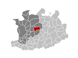
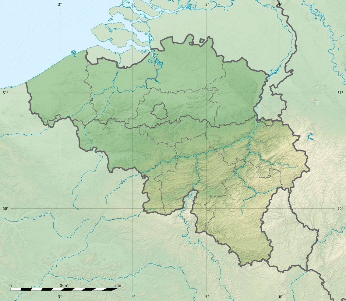
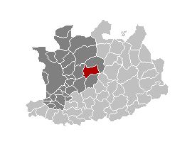
Zoersel est une commune néerlandophone de Belgique située en Région flamande dans la province d'Anvers.
Wikimedia Foundation.
2010.
Contenu soumis à la licence CC-BY-SA. Source : Article Zoersel de Wikipédia en français (auteurs)
Regardez d'autres dictionnaires:
Zoersel — Zoersel … Deutsch Wikipedia
Zoersel — infobox Belgium Municipality name=Zoersel picture= picture map arms=Zoersel.jpg region=BE REG FLE community=BE NL province=BE PROV AN arrondissement=Antwerp nis=11055 pyramid date= 0 19= 18 64= 65= foreigners= foreigners date= mayor=Katrien… … Wikipedia
Zoersel — Original name in latin Zoersel Name in other language OBL, Zoersel State code BE Continent/City Europe/Brussels longitude 51.26825 latitude 4.71296 altitude 17 Population 20642 Date 2011 02 08 … Cities with a population over 1000 database
Zoersel — Sp Zùrselis Ap Zoersel flamandiškai (olandų k. tarme) L Belgija … Pasaulio vietovardžiai. Internetinė duomenų bazė
Gea Happel Amigos Zoersel (volley-ball féminin) — Gea Happel Amigos … Wikipédia en Français
Boskant — (Zoersel,Бельгия) Категория отеля: Адрес: 2390 Zoersel, Бельгия Описание … Каталог отелей
Malle — This article is about Belgian municipality Malle. For French film maker Malle, see Louis Malle. Malle Flag … Wikipedia
A21 (Belgien) — Vorlage:Infobox hochrangige Straße/Wartung/BE A Autoroute / Autosnelweg A21 in Belgien … Deutsch Wikipedia
De Heidebloem — (Zoersel,Бельгия) Категория отеля: 3 звездочный отель Адрес: Handelslei 55, 2980 Zoers … Каталог отелей
European walking route E2 — The European walking route E2 is a 4850km long distance footpath that runs from Galway in Ireland to France s Mediterranean coast, via Scotland, England, Netherlands, Belgium, Luxembourg and France. It is one of the network of European long… … Wikipedia