Willeskop
Contenu soumis à la licence CC-BY-SA. Source : Article Willeskop de Wikipédia en français (auteurs)
Regardez d'autres dictionnaires:
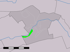
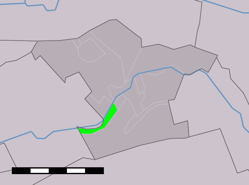
Willeskop — is a village in the Dutch province of Utrecht. It is located in the municipality of Montfoort, 2 km east of that city.Willeskop was a separate municipality between 1818 and 1989, when it was merged with Montfoort. [Ad van der Meer and Onno… … Wikipedia
Liste aller niederländischen Gemeinden M–Z — In diese Liste werden alle Gemeinden, die auf dem Gebiet der jetzigen Niederlande bestehen oder bestanden haben, aufgenommen. Die Liste beginnt im Jahr 1805/10. Vor 1830 können die Angaben unvollständig sein. Kleinere Grenzkorrekturen oder… … Deutsch Wikipedia
Montfoort — Gemeinde Montfoort Flagge Wappen Provinz Utrecht Bürgermeister … Deutsch Wikipedia
Anciennes communes de la province d'Utrecht — En 1812, la province néerlandaise d Utrecht comptait 56 communes (contre 97 dès 1820). Depuis 2006, il n y en a plus que 29. Étapes principales des fusions : 1989 : L ouest de la province 1954 : Autour de la ville d Utrecht… … Wikipédia en Français
Montfoort — Municipality … Wikipedia
List of places in the Netherlands — This is an alphabetical list of places (cities, towns, villages) in the Netherlands. Lists per province can be found at:* List of towns in Groningen * List of towns in Friesland * List of towns in Drente * List of towns in Overijssel * List of… … Wikipedia
Snelrewaard — Dutch town locator maps mun town caption = The statistical district of Snelrewaard in the municipality of Oudewater.Snelrewaard (coord|52|2|N|4|54|E|type:city(440)) is a hamlet in the Dutch province of Utrecht. It is a part of the municipality of … Wikipedia
Blokland (Utrecht) — Dutch town locator maps mun town caption = Blokland in the municipality of Montfoort.Blokland is a hamlet in the Dutch province of Utrecht. It is a part of the municipality of Montfoort, and lies about 1 km southeast of that city, and 6 km west… … Wikipedia
Hollandse IJssel — Lage der Hollandse IJssel Die Hollandse IJssel bei Gouda … Deutsch Wikipedia
Hollandse IJssel — Lage der Hollandse IJssel Die Hollandse IJssel bei Gouda … Deutsch Wikipedia
 Pays-Bas