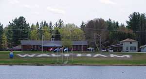
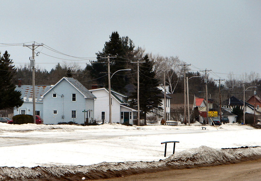
Waltham (Québec)
- Waltham (Québec)
-

Pour les articles homonymes, voir
Waltham.
Waltham est une municipalité du Québec, située dans la MRC de Pontiac dans l'Outaouais.
Municipalités limitrophes
Sources
Lien externe
Wikimedia Foundation.
2010.
Contenu soumis à la licence CC-BY-SA. Source : Article Waltham (Québec) de Wikipédia en français (auteurs)
Regardez d'autres dictionnaires:
Waltham (Quebec) — Waltham (Québec) Waltham Administration Pays Canada Province … Wikipédia en Français
Waltham, Quebec — Infobox Settlement official name = Waltham nickname = motto = imagesize = 245px image caption = flag size = 120x100px image shield = shield size = 120x100px mapsize = subdivision type = Country subdivision name = Canada subdivision type1 =… … Wikipedia
Waltham — may refer to:PlacesIn Canada: *Waltham, QuebecIn England: *Bishops Waltham, Hampshire *London Borough of Waltham Forest **including Walthamstow ***that includes Walthamstow Village *Waltham, Kent *Waltham, Lincolnshire **New Waltham is nearby… … Wikipedia
Waltham — Cette page d’homonymie répertorie les différents sujets et articles partageant un même nom. Waltham peut faire référence à : Waltham, une ville anglaise dans le Kent, Waltham, une localité du comté de Hancock dans le Maine, Waltham, une… … Wikipédia en Français
Quebec Route 148 — Infobox road province=QC type=QC route=148 maint= established= decommissioned= length km = 320 direction a=West direction b=East terminus b= jct|state=QC|A|25 in Saint Vincent de Paul ( Laval) previous type=QC previous route=147 next type=QC next … Wikipedia
Route 148 (Québec) — Pour les articles homonymes, voir route 148. Route 148 … Wikipédia en Français
Municipal history of Quebec — The municipal history of Quebec started in 1796 with the creation of administrations for Montréal and Quebec City, but it really developed in a first time in 1841, then 1 July 1845 when the Parliament of the Province of Canada adopts the law 8… … Wikipedia
L'Isle-aux-Allumettes, Quebec — L Isle aux Allumettes Municipality Satellite photo of the island … Wikipedia
Mansfield-et-Pontefract, Quebec — Mansfield et Pontefract Municipality … Wikipedia
Chichester, Quebec — Chichester Township municipality Cultural museum in Chichester Coordinates … Wikipedia

 Canada
 Québec