Visperterminen

Visperterminen
Visperterminen
Visperterminen
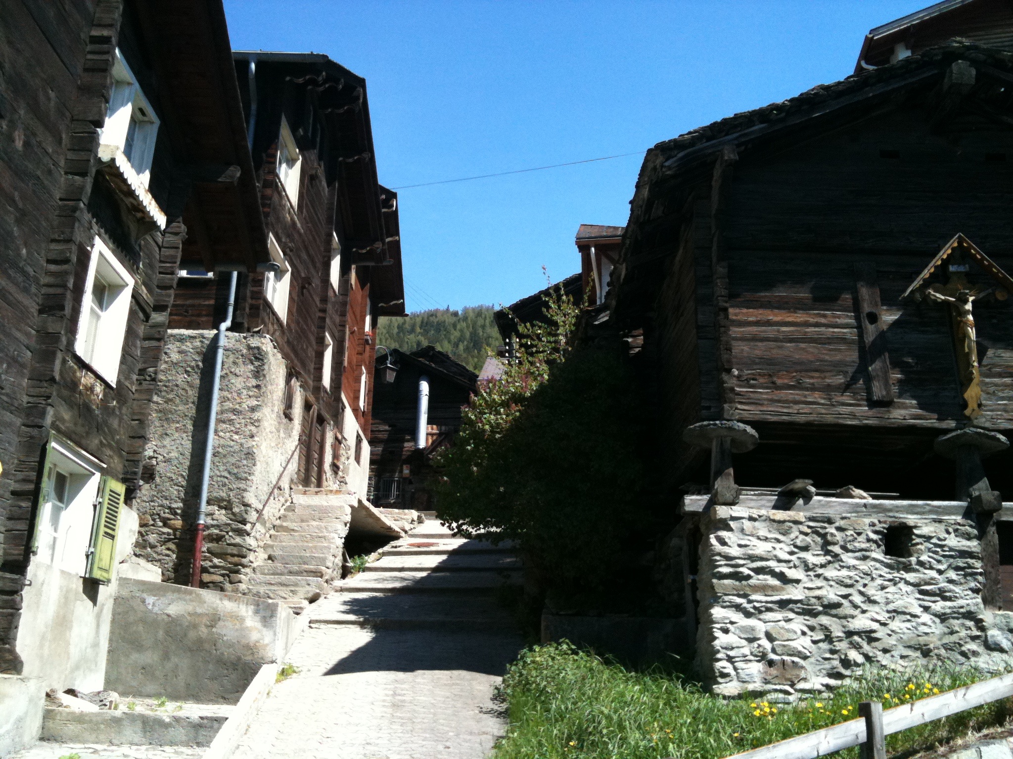
Maisons traditionnelles du village de Visperterminen
Administration
Pays Suisse Armoiries de la commune.
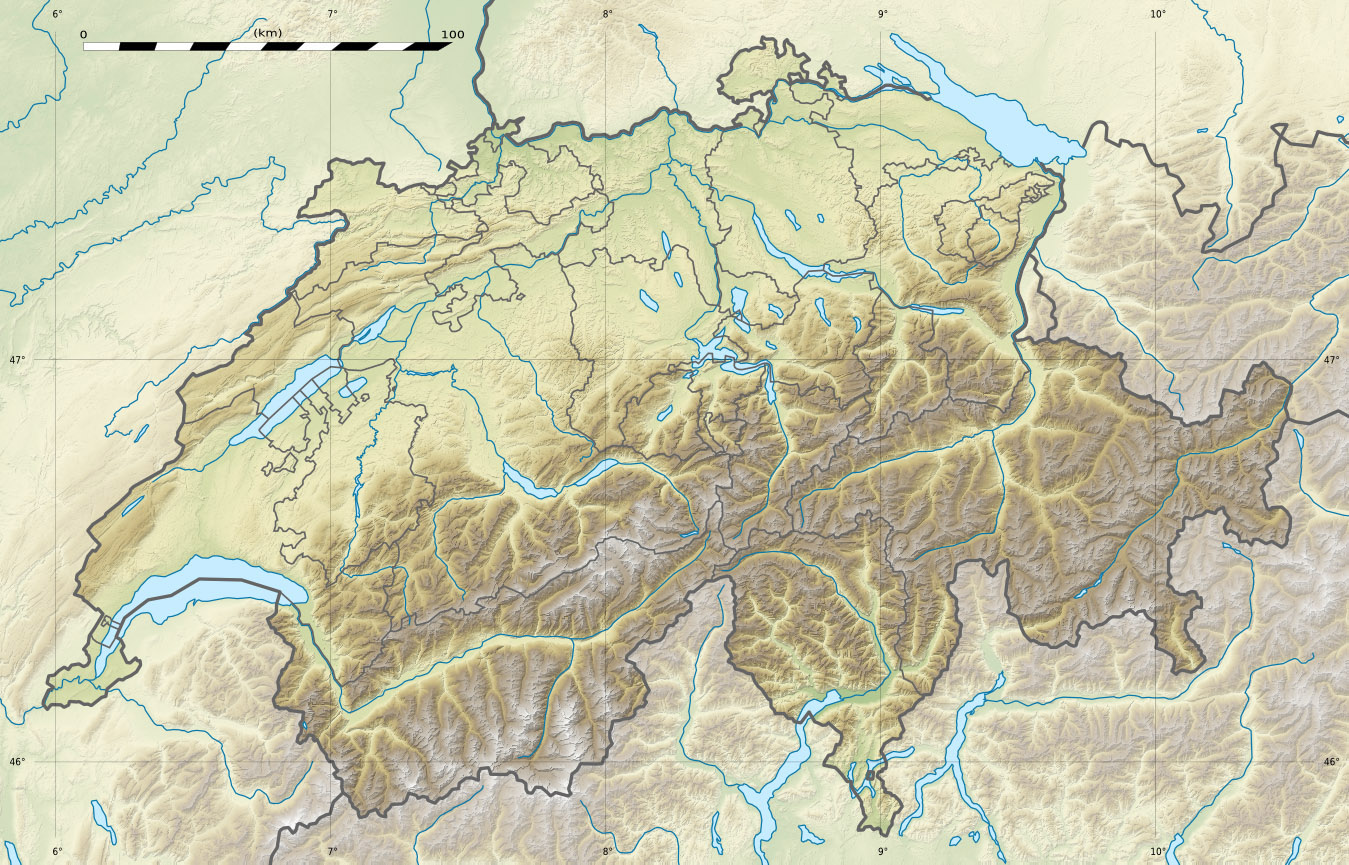
Canton Valais
District Viège
Langue allemand
Président(e) Roland Zimmermann
N° OFS 6298
Code postal 3932
Site Web www.visperterminen.ch
Géographie
Superficie 51,62 km²[1]
Altitude 1378
Coordonnées 46° 15′ 36″ N 7° 54′ 08″ E / 46.2599, 7.902346° 15′ 36″ N 7° 54′ 08″ E / 46.2599, 7.9023 
Localité(s) Oberstalden, Unterstalden
Démographie
Population 1 390 (31 décembre 2009)[2]
Densité 26,9 hab./km²
Localisation

Localisation de Visperterminen en Suisse.

Visperterminen est une commune suisse du canton du Valais, située dans le district de Viège.

Références

  1. Statistique de la superficie 2004/09 : Données communales sur Office fédéral de la Statistique. Consulté le 23 septembre 2010
  2. Bilan de la population résidante permanente (total) selon les districts et les communes, en 2009 sur Office fédéral de la Statistique. Consulté le 1er septembre 2010

Sur les autres projets Wikimedia :


Wikimedia Foundation. 2010.

Contenu soumis à la licence CC-BY-SA. Source : Article Visperterminen de Wikipédia en français (auteurs)

Игры ⚽ Поможем написать курсовую

Regardez d'autres dictionnaires:

  • Visperterminen — Basisdaten Staat: Schweiz …   Deutsch Wikipedia

  • Visperterminen — Escudo …   Wikipedia Español

  • Visperterminen — Infobox Swiss town subject name = Visperterminen municipality name = Visperterminen municipality type = municipality imagepath coa = Visperterminen coat of arms.svg|pixel coa= languages = French canton = Valais iso code region = CH VS district =… …   Wikipedia

  • Visperterminen — Original name in latin Visperterminen Name in other language State code CH Continent/City Europe/Zurich longitude 46.25899 latitude 7.90192 altitude 1328 Population 1440 Date 2013 02 28 …   Cities with a population over 1000 database

  • Tärbinu — Visperterminen Basisdaten Kanton: Wallis Bezirk: Visp …   Deutsch Wikipedia

  • Nanztal — von Süden, vom Mattwaldhorn, links der Blausee Das Nanztal ist ein heute unbewohntes, kleines Seitental im deutschsprachigen Teil des Kantons Wallis in der Schweiz. Es verläuft von Süd nach Nord und liegt auf dem Gebiet der Gemeinden… …   Deutsch Wikipedia

  • Inventaire fédéral des sites construits à protéger en Suisse — L inventaire fédéral des sites construits à protéger en Suisse, en abrégé « ISOS » d après l expression allemande Inventar der schützenswerten Ortsbilder der Schweiz, est une liste de sites construits protégés en Suisse. Cette liste a… …   Wikipédia en Français

  • CH-VS — Kanton Wallis Basisdaten Hauptort: Sitten/Sion Fläche: 5 224 km² (Rang 3) Einwohner: 298 580 (2007) (Rang 9) …   Deutsch Wikipedia

  • Oberwallis — Kanton Wallis Basisdaten Hauptort: Sitten/Sion Fläche: 5 224 km² (Rang 3) Einwohner: 298 580 (2007) (Rang 9) …   Deutsch Wikipedia

  • Unterwallis — Kanton Wallis Basisdaten Hauptort: Sitten/Sion Fläche: 5 224 km² (Rang 3) Einwohner: 298 580 (2007) (Rang 9) …   Deutsch Wikipedia

Share the article and excerpts

Direct link
Do a right-click on the link above
and select “Copy Link”