Uynarey
- Uynarey
-
Uynarey est une île des Shetland.
Wikimedia Foundation.
2010.
Contenu soumis à la licence CC-BY-SA. Source : Article Uynarey de Wikipédia en français (auteurs)
Regardez d'autres dictionnaires:
Uynarey — is one of the Shetland islands in Yell Sound, just to the north of Bigga, and east of Brother Island. It is an RSPB reserve.Haswell Smith, Hamish. (2004) The Scottish Islands. Edinburgh. Canongate.] The name comes from the Norse for venerated… … Wikipedia
Список Шетландских островов — Шетландский архипелаг … Википедия
List of Shetland islands — This is a list of Shetland islands in Scotland. The Shetland archipelago is located 100 kilometres (62 miles) north of mainland Scotland and the capital Lerwick is almost equidistant from Bergen in Norway and Aberdeen in Scotland. The Shetland… … Wikipedia
Uyea — (pronounced oe yë ) is the name of three of the Shetland Islands:* Uyea, Unst * Uyea, Northmavine to the north west of Isbister in the north MainlandUyeasound is a village on Unst overlooking the first Uyea.There is also Uynarey in the Shetland… … Wikipedia
Little Roe — is an island in Yell Sound in the Shetland IslandsHistoryThe island s name is Norse in origin, from , meaning small red island in contradistinction to Muckle Roe, which is not nearby, but in St Magnus BayIn 1841, eleven people lived here, all in… … Wikipedia
Orfasay — (Old Norse: Orfyrisey, meaning tidal island ) is one of the Shetland Islands. Geography Orfasay is a tidal island in Yell Sound, connected to Yell at low tide. This is reflected in the island s name.[1] It is near the mouth of Hamna Voe and… … Wikipedia
Muckle Holm, Yell Sound — For other uses, see Muckle Holm. Muckle Holm is a small island in Shetland. It is in Yell Sound, near the Northmavine. It is 23m at its highest point. There is a lighthouse, first lit in 1976.[1] References ^ Muckle Holm . Shetlopedia.… … Wikipedia
Liste britischer Inseln — Lage der Britischen Inseln Diese Liste führt die wichtigsten der etwa 600 Inseln der Britischen Inseln auf. Politisch sind diese Inseln Teil des Vereinigten Königreiches, der Republik Irland und der Isle of Man, die als Kronbesitz kein… … Deutsch Wikipedia
Liste der Britischen Inseln — Lage der Britischen Inseln Diese Liste führt die wichtigsten der etwa 600 Inseln der Britischen Inseln auf. Politisch sind diese Inseln Teil des Vereinigten Königreichs, der Republik Irland und der Isle of Man, die als Kronbesitz kein Bestandteil … Deutsch Wikipedia
Bigga (Ecosse) — Bigga (Écosse) Pour les articles homonymes, voir Bigga. Bigga Géographie Pays … Wikipédia en Français
 Royaume-Uni
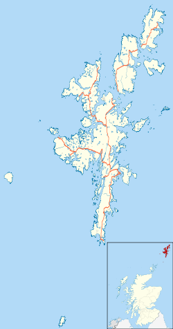
 Uynarey

