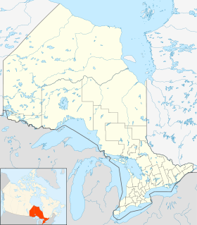
- Aéroport international de Thunder Bay
-
Aéroport international de Thunder Bay Code AITA Code OACI YQT CYQT Localisation Pays  Canada
Ville desservie Thunder Bay (Ontario) Coordonnées Altitude 199 m (653 ft) Pistes Direction Longueur Surface 07/25 1 890 m (6 201 ft) Asphalte 12/30 1 615 m (5 299 ft) Asphalte Informations aéronautiques Type d'aéroport Civil Gestionnaire Transports Canada[1] Site web aéroport Consulter Catégories Aéroports • Aéroports canadiens modifier 
L'Aéroport international de Thunder Bay est un aéroport canadien dans la province de l'Ontario[2].
Notes et références
- (en) Airport Divestiture Status Report sur www.tc.gc.ca.
- (fr)Aéroport International de Thunder Bay sur Secrétariat du Conseil du Trésor du Canada. Consulté le 4 juin 2010.
Catégorie :- Aéroport de l'Ontario
Wikimedia Foundation. 2010.


