Tindfjallajokull
- Tindfjallajokull
-
Tindfjallajökull
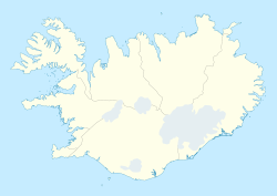
Le Tindfjallajökull est un glacier d'Islande situé dans le sud du pays, à proximité du Mýrdalsjökull, un autre grand glacier, et de la vallée de Þórsmörk. Ne mesurant que 19 km2 ce qui en fait l'un des glaciers les plus petit de l'Islande, il recouvre en partie le sommet et la caldeira du volcan Tindfjöll.
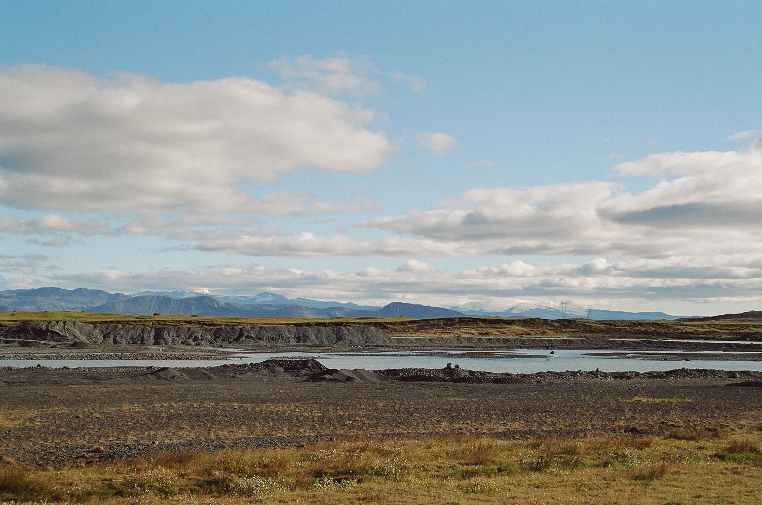
Le Tindfjallajökull à gauche derrière le fleuve
Þjórsá.
 Portail de l’Islande
 Portail de la montagne
 Portail de l’eau
Catégories : Calotte glaciaire | Glacier d'Islande
Wikimedia Foundation.
2010.
Contenu soumis à la licence CC-BY-SA. Source : Article Tindfjallajokull de Wikipédia en français (auteurs)
Regardez d'autres dictionnaires:
Tindfjallajökull — Tindfjallajökull, Luftbild Höhe 1.462 … Deutsch Wikipedia
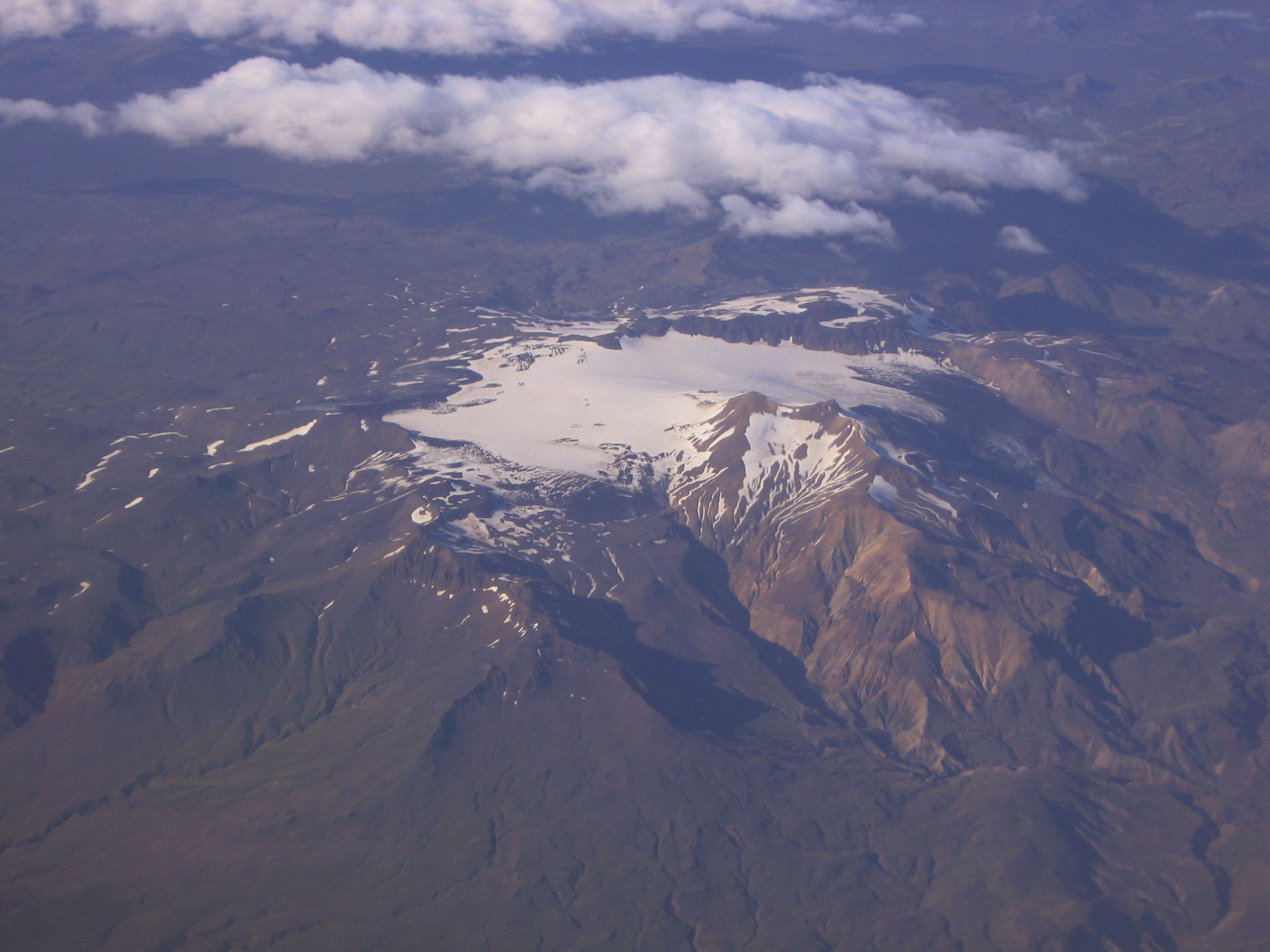
Tindfjallajökull — Vue aérienne du Tindfjöll et du Tindfjallajökull en août 2006. Latitude Longitude … Wikipédia en Français
Tindfjallajökull — is a stratovolcano [http://www.volcano.si.edu/world/volcano.cfm?vnum=1702 04= Global Volcanism Program Tindfjallajökull] ] in the south of Iceland at coord|63.78|N|19.57|W|, capped by a glacier of 19km² [http://www.lmi.is/frodleikur/island i… … Wikipedia
Glaciers d'Islande — Les glaciers (jökull en islandais) couvrent 11,1 % de la surface terrestre de l Islande (environ 11 400 km² sur une surface totale de 103 125 km²) et ont un impact considérable sur son paysage. Beaucoup de glaciers islandais se trouvent au… … Wikipédia en Français
Тиндфьядлайёкюдль — исл. Tindfjallajökull … Википедия
Liste der Berge und Erhebungen in Island — Hvannadalshnúkur, höchster Gipfel Islands Skarðsheiði … Deutsch Wikipedia
Berge Islands — Hvannadalshnúkur, höchster Gipfel Islands Skarðsheiði … Deutsch Wikipedia
Berge in Island — Hvannadalshnúkur, höchster Gipfel Islands Skarðsheiði … Deutsch Wikipedia
Gletscher Islands — Hoffellsjökull Die Gletscher Islands bedecken große Teile der Insel, gesamt etwa 11 % der Landesoberfläche. Sie prägen daher das Landschaftsbild Islands maßgeblich. Das Wort jökull bedeutet im Isländischen Gletscher und ist daher im Namen… … Deutsch Wikipedia
Liste der Berge in Island — Hvannadalshnúkur, höchster Gipfel Islands Skarðsheiði … Deutsch Wikipedia

 Islande