Schouwen-duiveland
- Schouwen-duiveland
-
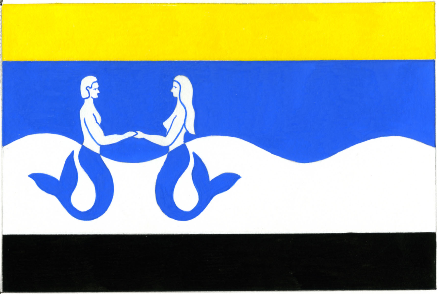
Schouwen-Duiveland
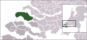
Schouwen-Duiveland est une île et une commune des Pays-Bas, dans la province de Zélande.
Localités
Les localités suivantes font partie de la commune :
Lien interne
Lien externe
(de)(nl) Site officiel
 Portail des Pays-Bas
 Portail du monde maritime
Catégories : Schouwen-Duiveland | Île fluviale néerlandaise | Île de la mer du Nord | Commune de la Zélande
Wikimedia Foundation.
2010.
Contenu soumis à la licence CC-BY-SA. Source : Article Schouwen-duiveland de Wikipédia en français (auteurs)
Regardez d'autres dictionnaires:
Schouwen-Duiveland — Bandera … Wikipedia Español
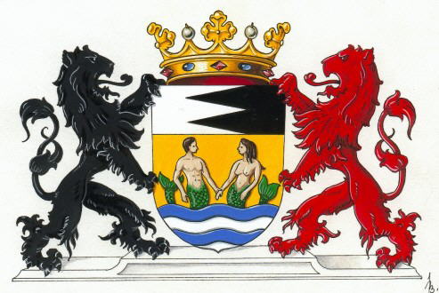
Schouwen-Duiveland — Héraldique … Wikipédia en Français
Schouwen-Duiveland — [ sxɔu̯wə dœjvəlant], eine der Inseln der Provinz Seeland, Niederlande, 219 km2; Hauptort ist Zierikzee (10 100 Einwohner); Haupterwerbszweige sind Landwirtschaft und Fremdenverkehr. Mit den Nachbarinseln ist Schouwen Duiveland durch Dämme… … Universal-Lexikon
Schouwen-Duiveland — Gemeinde Schouwen Duiveland Flagge Wappen Provinz Zeeland … Deutsch Wikipedia
Schouwen-Duiveland — Infobox Settlement official name = Schouwen Duiveland mapsize = 280px subdivision type = Country subdivision name = Netherlands subdivision type1 = Province subdivision name1 = Zeeland area footnotes = (2006) area total km2 = 488.94 area land km2 … Wikipedia
Schouwen-Duiveland — Admin ASC 2 Code Orig. name Schouwen Duiveland Country and Admin Code NL.10.1676 NL … World countries Adminstrative division ASC I-II
Schuddebeurs (Schouwen-Duiveland) — 51° 40′ 00″ N 3° 57′ 00″ E / 51.66666667, 3.95 … Wikipédia en Français
Serooskerke (Schouwen-Duiveland) — 51°42′4″N 3°48′53″E / 51.70111, 3.81472 … Wikipédia en Français
Schuddebeurs (Schouwen-Duiveland) — Dutch town locator maps mun town caption = The town centre (dark green) and the statistical district (light green) of Schuddebeurs in the municipality of Schouwen Duiveland.Schuddebeurs (coord|51|40|N|3|57|E|type:city(87)) is a town in the Dutch… … Wikipedia
Serooskerke (Schouwen-Duiveland) — Dutch town locator maps mun town caption = The village centre (dark green) and the statistical district (light green) of Serooskerke in the municipality of Schouwen Duiveland.Serooskerke (coord|51|42|N|3|49|E|type:city(225)) is a village in the… … Wikipedia

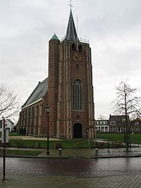 L'église de Renesse
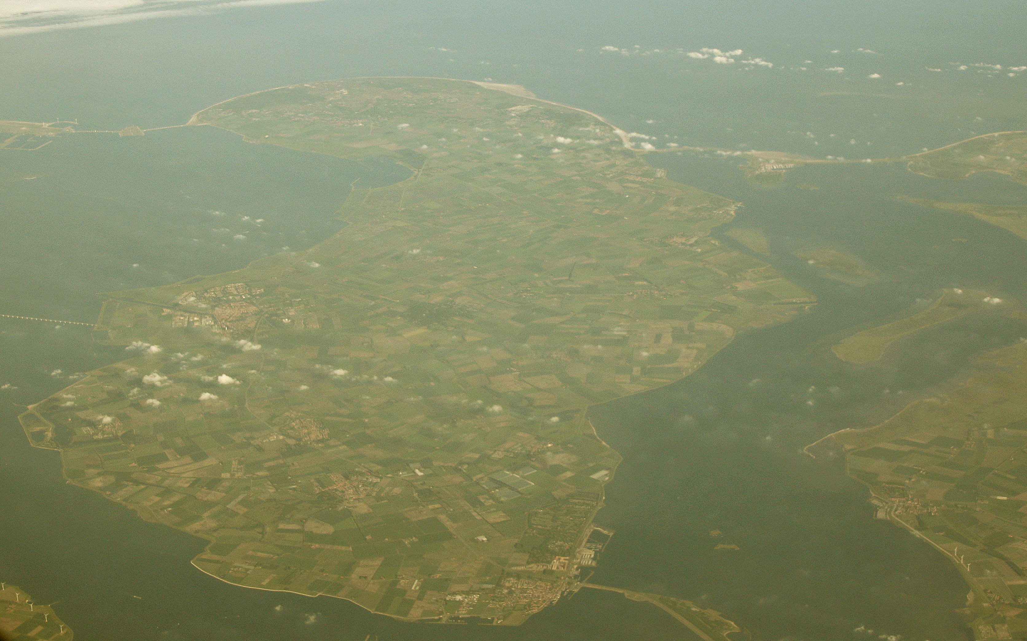
 L'île vue du ciel