Port Stephens

Port Stephens

32°41′57″S 152°7′26″E / -32.69917, 152.12389

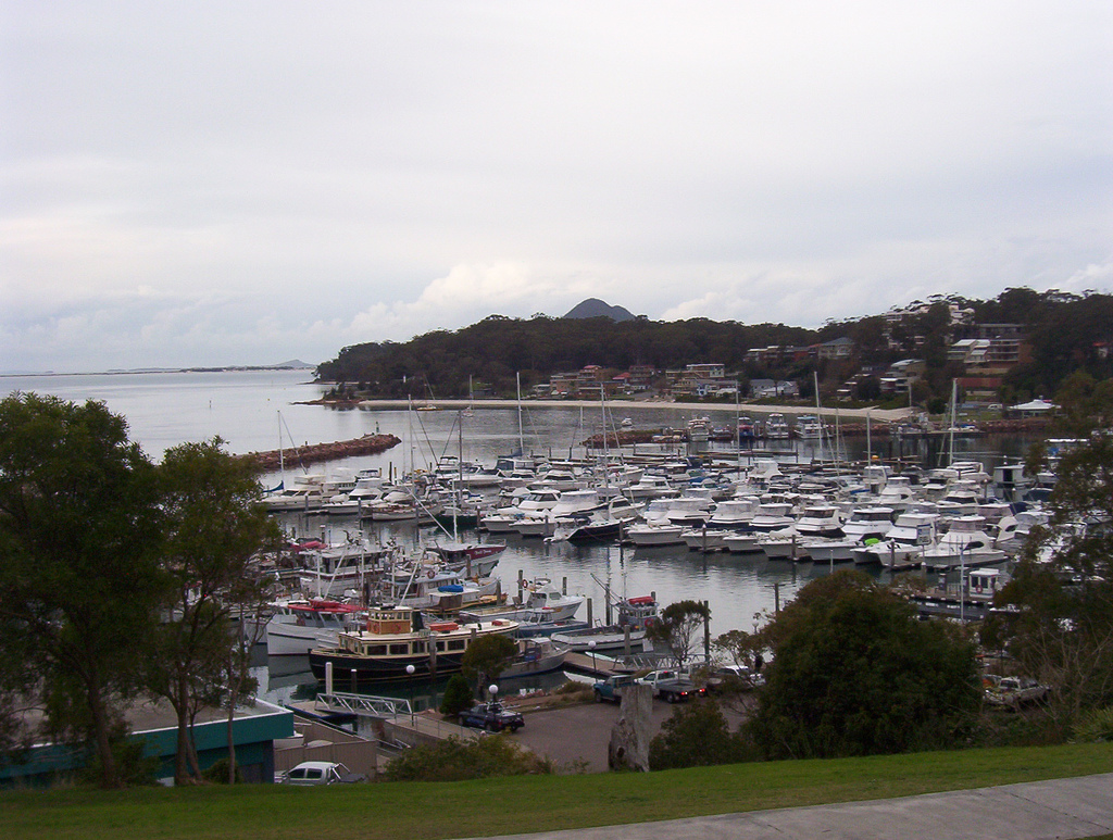
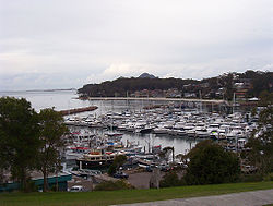
Le port de Nelson Bay dans la baie de Port Stephens.
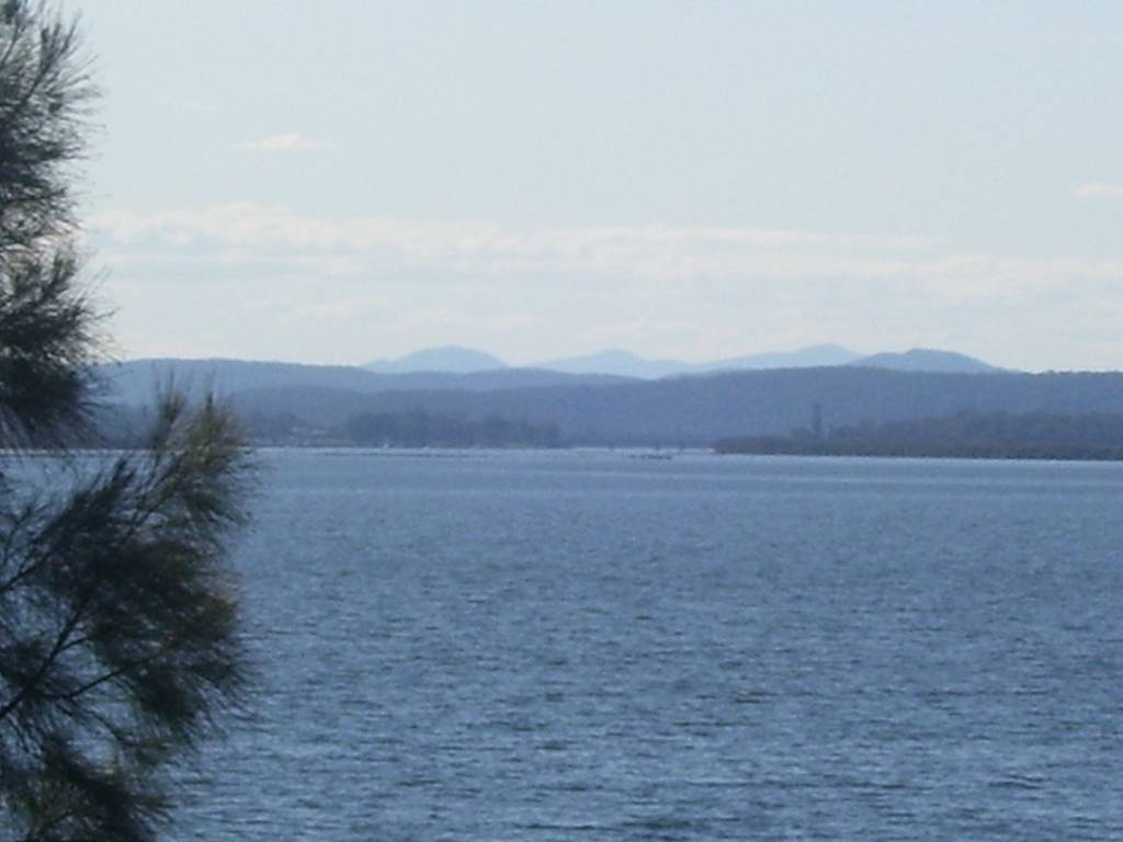
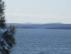
L'embouchure de la Karuah dans la baie de Port Stephens.

Port Stephens est une grande baie de 104 km² située à 160 kilomètres au nord de Sydney en Nouvelle-Galles du Sud en Australie. L'entrée de la baie est marquée de part et d'autre par deux collines volcaniques.

La baie doit son nom au capitaine James Cook qui l'a baptisée le 11 mai 1770 du nom du Ministre de la marine[1], Sir Philips Stephens qui était son ami personnel et qui l'avait recommandé pour diriger l'expédition.

La baie contient de nombreux bas fonds et bancs de sable mais elle est en général suffisamment profonde pour pouvoir accueillir de grands navires comme le Queen Mary qui y a mouillé pendant la Seconde Guerre mondiale.

Les rivières Myall et Karuah se jettent dans la baie.

En raison de la pauvreté des sols entourant la baie, il n'y a pas eu de développement urbain dans la région contrairement à port Jackson, la baie de Sydney. La seule ville importante dans la région est Newcastle à 45 kilomètres au sud-ouest à l'embouchure de la Hunter River.

Autour de la baie, se trouvent un certain nombre de villages servant de port de pêche, de lieux de vacances ou de retraites comme Corlette, Hawks Nest, Lemon Tree Passage, Mallabula, Nelson Bay, North Arm Cove, Salamander Bay, Shoal Bay, Soldiers Point et Tanilba Bay.

Références

  1. Secretary to the Admiralty

Wikimedia Foundation. 2010.

Contenu soumis à la licence CC-BY-SA. Source : Article Port Stephens de Wikipédia en français (auteurs)

Игры ⚽ Нужно решить контрольную?

Regardez d'autres dictionnaires:

  • Port Stephens — Infobox Ocean Ocean name = Port Stephens image Ocean = portstephens entrance.jpg caption Ocean = Yacaba, the northern headland at the entrance of Port Stephens image bathymetry = caption bathymetry = location = New South Wales coords =… …   Wikipedia

  • Port Stephens — 32.696111111111152.14166666667 Koordinaten: 32° 42′ S, 152° 9′ O …   Deutsch Wikipedia

  • Port Stephens — /pɔt ˈstivənz/ (say pawt steevuhnz) noun a large inlet on the central coast of NSW, north of Newcastle; popular tourist resort. Port Stephens lies in territory traditionally inhabited by the Worimi people. The inlet was sighted and named by… …  

  • Port Stephens — Original name in latin Port Stephens Name in other language State code AU Continent/City Australia/Sydney longitude 32.71314 latitude 152.06623 altitude 16 Population 27531 Date 2013 06 25 …   Cities with a population over 1000 database

  • Port Stephens Pythons — Port Stephens Cricket Club was founded in 1987 by members of the Port Stephens Council. The Club was originally known as the Port Stephens Council Cricket Club, or simply P.S.C.C.C. Over the years many other members joined external to council… …   Wikipedia

  • Port Stephens Council — Port Stephens Lage des Port Stephens Council in New South Wales Gliederung …   Deutsch Wikipedia

  • Port Stephens (Australia) — Hotels: Best Western Club Inn Port Stephens (Tea Gardens) Best Western Motto Farm Motel (Raymond Terrace) Comfort Inn Salamander Shores (Soldiers Point) Landmark Resort Nelson Bay Port Stephens (Nelson Bay) …   International hotels

  • Port Stephens Motor Lodge — (Нельсон Бей,Австралия) Категория отеля: 3 звездочный отель Адрес: 44 Magn …   Каталог отелей

  • Port Stephens, Falkland Islands — Port Stephens is a settlement on West Falkland, in the Falkland Islands. It is on the far south west of the island, near Calm Head and Cape Meredith and Hoste Inlet is the nearest other settlement. Until recently, it was one of the Falkland… …   Wikipedia

  • Port Stephens Council — Infobox Australian Place type = lga name = Port Stephens Council city = state = nsw caption = loc x = 193 loc y = 86 pop = 60,484 pop footnotes = [Census 2006 AUS | id = LGA16400 | name = Port Stephens (A) (Local Government Area) | quick = on |… …   Wikipedia

Share the article and excerpts

Direct link
Do a right-click on the link above
and select “Copy Link”