Patapsco
- Patapsco
-
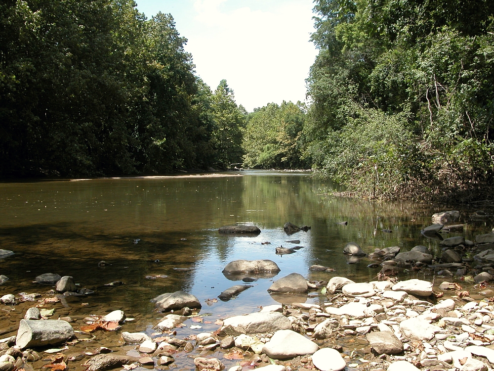
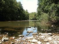
Le Patapsco est une rivière des États-Unis qui traverse l'État du Maryland et se jette dans la baie de Cheasapeake.
Géographie
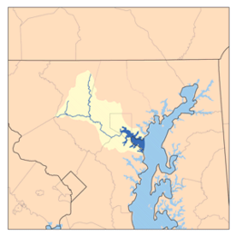
Ses deux branches, Nord et Sud, se joignent à environ 80 kilomètres à l'intérieur des terres. Ses 16 derniers kilomètres forment un large estuaire avec la baie de Cheasapeake, autour duquel s'est développé la ville de Baltimore et son activité portuaire.
Mineure, elle n'a jamais été un grand axe de commerce sachant qu'elle n'est pas navigable sur la majorité de son tracé. Néanmoins, c'est sur son sillage que furent construits les premiers chemins de fer de la région comme celui du Baltimore and Ohio Railroad et elle alimenta par le passé quatre moulins ainsi qu'un barrage hydroélectrique.
Historique
- En 1897, Le sous-marin l'Argonaute, conçu par Simon Lake est lancé sur la rivière Patapsco.
- En 1972, la vallée a été touchée par une forte inondation suite aux fortes précipitations causées par le passage des restes de l'ouragan Agnes.
Wikimedia Foundation.
2010.
Contenu soumis à la licence CC-BY-SA. Source : Article Patapsco de Wikipédia en français (auteurs)
Regardez d'autres dictionnaires:
Patapsco — may refer to the following:*Patapsco River, a large river in Maryland *Patapsco Valley State Park, a park in Maryland **Patapsco Swinging Bridge, a pedestrian bridge in Patapsco Valley State Park *Patapsco Avenue, a major street in Baltimore,… … Wikipedia
Patapsco — Patapsco, Fluß im nordamerikan. Unionsstaat Maryland, 110 km lang, bildet bei seiner Mündung in die Chesapeakebai ein weites und tiefes Ästuarium mit Seitenbuch ten, das der Stadt Baltimore (s. d.) als Hafen dient … Meyers Großes Konversations-Lexikon
Patapsco — Patapsco, Fluß im nordamerik. Staate Maryland, mündet 20 km unterhalb Baltimore in die Chesapeakebai … Kleines Konversations-Lexikon
Patapsco river — Patapsco Patapsco Caractéristiques Longueur ? Bassin 1 760 km2 Débit moyen … Wikipédia en Français
Patapsco Female Institute — (PFI) is a former girls boarding school, now a rebuilt historical site, sitting at the top of the hill in Ellicott City, Maryland, United States. The grounds are home to many community events throughout the year including a Halloween haunted… … Wikipedia
Patapsco Niver — Patapsco Niver, Fluß im Staate Maryland (Nordamerika) entspringt in der Grafschaft Carroll, bildet die Grenze zwischen den Grafschaften Ann Arundel u. Baltimore, erweitert sich unweit Baltimore zu einer Bai u. fällt 3 Meilen weiter in die… … Pierer's Universal-Lexikon
Patapsco River — Coordinates: 39°10′25″N 76°26′36″W / 39.1737202°N 76.4432935°W / 39.1737202; 76.4432935 … Wikipedia
Patapsco Valley State Park — Infobox protected area name = Patapsco Valley State Park,Elkridge, Maryland, USA iucn category = V caption = The Thomas Viaducta signature monument of Patapsco Valley State Park locator x = locator y = location = Elkridge, Maryland, USA nearest… … Wikipedia
Patapsco High School and Center for the Arts — Infobox Secondary school name = Patapsco High School motto = established = 1963 type = Public Secondary principal = Edward Mitzel students = 1650 grades = 9–12 city = Dundalk state = Maryland country = USA district = Baltimore County Public… … Wikipedia
Patapsco Swinging Bridge — The Patapsco Swinging bridge is located in the Avalon / Orange Grove area of the park, it is a Suspension Bridge consisting of a wooden deck supported by large cables. The Patapsco Valley has a history of swinging bridges built for pedestrian… … Wikipedia
 Rivière Patapsco