Nikumaroro
- Nikumaroro
-
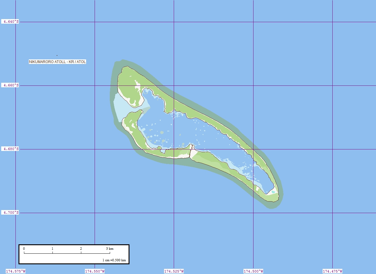
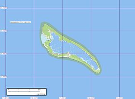
Nikumaroro est un atoll des îles Phœnix, appartenant à la République des Kiribati.
Si l'atoll a perdu beaucoup de coraux, quantité de poissons s'y nourrissent encore, contribuant au rétablissement des récifs qu'ils nettoient.
Des restes humains pouvant être ceux de Amelia Earhart y ont été retrouvés par une équipe de chercheurs universitaires en 2010.
Lien externe
Sur les autres projets Wikimedia :
Wikimedia Foundation.
2010.
Contenu soumis à la licence CC-BY-SA. Source : Article Nikumaroro de Wikipédia en français (auteurs)
Regardez d'autres dictionnaires:
Nikumaroro — Geographical map of Nikumaroro Geography Coordinates … Wikipedia
Nikumaroro — Vorlage:Infobox Insel/Wartung/Höhe fehlt Nikumaroro Nikumaroro von See aus gesehen Gewässer Pazifischer Ozean Archipel … Deutsch Wikipedia
Nikumaroro — Admin ASC 2 Code Orig. name Nikumaroro Country and Admin Code KI.03.NK KI … World countries Adminstrative division ASC I-II
Isla Nikumaroro — La Isla Nikumaroro (4°40′S 174°31′O / 4.667, 174.517), también conocida como Isla Gardner, es un atolón de coral localizado al oeste del Océano Pacífico perteneciente al grupo de las … Wikipedia Español
Gerald Gallagher — Gerald Bernard Gallagher (6 July 1912 – 27 September 1941, Nikumaroro), the son of Gerald Hugh Gallagher (a doctor in the West African Medical Service) and Edith Gallagher, attended Stonyhurst College, the University of Cambridge (Downing… … Wikipedia
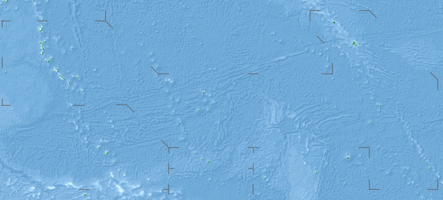
Phoenix Islands — The Phoenix Islands are a group of eight atolls and two submerged coral reefs, lying in the central Pacific Ocean east of the Gilbert Islands and west of the Line Islands. They are a part of the Republic of Kiribati. During the late 1930s they… … Wikipedia
Gardner-Insel — Karte der Phoenixinseln, Nikumaroro ganz im Südwesten Karte von Nikumaroro Nikumaroro (früher Gardner Island), auch Motu Oona, ist ein im Pazifik gelegenes … Deutsch Wikipedia
Nikomaruru — Lage der Phoenixinseln im zentralen Pazifik Lage der einzelnen Atolle und Riffe Die Gruppe der Phoenixinseln sind eine von drei Inselgruppen des Inselstaats … Deutsch Wikipedia
Phoenix-Inseln — Lage der Phoenixinseln im zentralen Pazifik Lage der einzelnen Atolle und Riffe Die Gruppe der Phoenixinseln sind eine von drei Inselgruppen des Inselstaats … Deutsch Wikipedia
Phoenixinsel — Lage der Phoenixinseln im zentralen Pazifik Lage der einzelnen Atolle und Riffe Die Gruppe der Phoenixinseln sind eine von drei Inselgruppen des Inselstaats … Deutsch Wikipedia
 Kiribati
 Nikumaroro