Natalinci

Natalinci
Natalinci
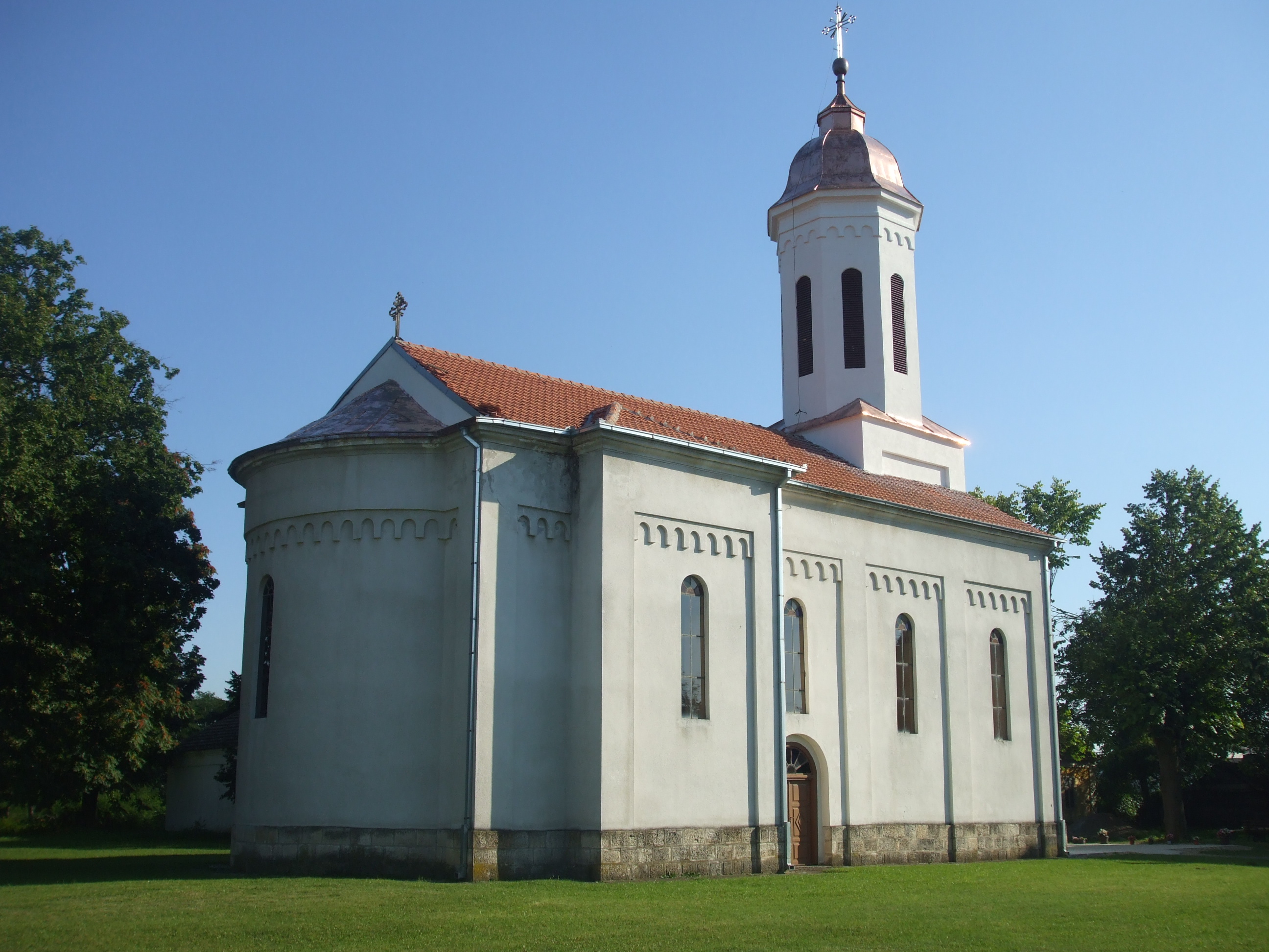
Наталинци
L'église de Natalinci
Administration
Pays Drapeau de Serbie Serbie
Province Serbie centrale
Région Šumadija
District Šumadija
Municipalité Topola
Code postal 34 313
Géographie
Coordonnées 44° 15′ 09″ Nord
       20° 48′ 12″ Est
/ 44.2525, 20.8033
Altitude 138 m
Démographie
Population 834 hab. (2002)
Localisation
Serbia location map.svg
City locator 14.svg
Natalinci

Natalinci (en serbe cyrillique : Наталинци) est un village de Serbie situé dans la municipalité de Topola, district de Šumadija. En 2002, il comptait 834 habitants[1], dont une majorité de Serbes.

Natalinci est situé sur les bords de la rivière Jasenica.

Sommaire

Démographie

Évolution historique de la population

Évolution démographique
1948 1953 1961 1971 1981 1991 2002
1 270 1 318 1 407 1 237 114 924 834[1]

Répartition de la population (2002)

Nationalité Nombre %
Serbes 801 96,04
Roms 13 1,55
Hongrois 2 0,23
Monténégrins 1 0,11
Croates 1 0,11
Bulgares 1 0,11
Yougoslaves 1 0,11
Inconnus/Autres[2]

Notes et références

  1. a et b (sr) Livre 9, Population, analyse comparative de la population en 1948, 1953, 1961, 1971, 1981, 1991 et 2002, données par localités, Institut de statistique de la République de Serbie, Belgrade, mai 2004 (ISBN 86-84433-14-9)
  2. (sr) Livre 1, Population, origine nationale ou ethnique, données par localités, Institut de statistique de la République de Serbie, Belgrade, février 2003 (ISBN 86-84433-00-9)

Voir aussi

Sur les autres projets Wikimedia :

Articles connexes

Liens externes


Wikimedia Foundation. 2010.

Contenu soumis à la licence CC-BY-SA. Source : Article Natalinci de Wikipédia en français (auteurs)

Игры ⚽ Поможем написать курсовую

Regardez d'autres dictionnaires:

  • Natalinci —   Village   Country  Serbia District Šumadija District …   Wikipedia

  • Topola — Pour les articles homonymes, voir Topola (homonymie). Topola Топола …   Wikipédia en Français

  • Topola — Infobox Serbia municipality native name = Топола|official name=Topola image shield = district = Šumadija mayor = Dragan Jovanović (NS) area km2 = 356 population total = 5422 | mpop=25292 latd = | latm = |longd = | longm = = ? code = 34… …   Wikipedia

  • Jasenica — The Jasenica (Serbian Cyrillic: Јасеница) is a river is central Serbia. It s 79 km long left tributary of the Velika Morava and gives the name to the Jasenica region. River The Jasenica originates from the several streams, most notably the… …   Wikipedia

  • List of cities, towns and villages in Serbia — This is the complete list of settlements in Serbia without Kosovo, as recorded by 2002 census, sorted by municipalities. Settlements denoted as urban (towns and cities) are marked bold. Population for every settlement is given in brackets. The… …   Wikipedia

  • List of settlements in Serbia (alphabetic) — This is the complete list of settlements in Serbia without Kosovo, as recorded by 2002 census, in alphabetic order. Settlements denoted as urban (towns and cities) are marked bold. Population for every settlement is given in brackets. The same… …   Wikipedia

  • Bašin — Pour les articles homonymes, voir Basin. Bašin Башин Administration Pays …   Wikipédia en Français

  • Belosavci — Белосавци Administration Pays  Serbie …   Wikipédia en Français

  • Blaznava — Блазнава Administration Pays  Serbie …   Wikipédia en Français

  • Bozurnja — Božurnja Božurnja Божурња [[Image:|100px|center|Blason]] [[Image:|100px|center|Drapaeau]] Héraldique Drapeau …   Wikipédia en Français

Share the article and excerpts

Direct link
Do a right-click on the link above
and select “Copy Link”