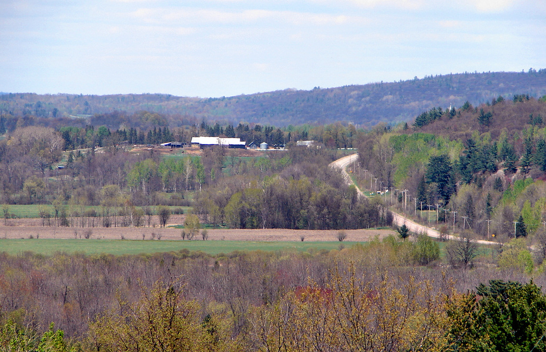
Litchfield (Québec)

Litchfield (Québec)
Page d'aide sur l'homonymie Pour les articles homonymes, voir Litchfield.
Litchfield

Litchfield QC.JPG

Administration
Pays Drapeau du Canada Canada
Province Drapeau : Québec Québec
Région Outaouais
Comté ou équivalent Pontiac
Statut municipal Municipalité
Constitution 1er juillet 1855
Maire
Mandat en cours
Michael McCrank
2009 - 2013
Démographie
Population 525 hab. (2006)
Densité 3 hab./km2
Géographie
Coordonnées
géographiques
45° 47′ 06″ N 76° 36′ 42″ W / 45.785, -76.6116645° 47′ 06″ N 76° 36′ 42″ W / 45.785, -76.61166
Superficie 178,96 km2
Code géographique 84040

Géolocalisation sur la carte : Québec

(Voir situation sur carte : Québec)
Litchfield

Litchfield est une municipalité de village du Québec, située dans la municipalité régionale de comté de Pontiac et dans la région administrative de l'Outaouais[1].

Sommaire

Toponyme

« Établie en 1845 par suite de la division de la municipalité de Clarendon, Litchfield sera abolie l'année suivante et verra son territoire rattaché à la municipalité du comté d'Ottawa. Elle sera finalement rétablie en 1855 »[2]

Démographie

Population:[3]

  • Population en 2006: 483
  • Population en 2001: 509
    • Evolution entre 2001 et 2006: -5.1 %
  • Population en 1996: 484
  • Population en 1991: 493

Langues:

  • Anglais première langue: 67 %
  • Français première langue: 27 %
  • Bilingues: 6 %

Références

  1. Gouvernement du Québec, « Litchfield », Répertoire des municipalités sur Ministère des Affaires municipales, des Régions et de l'Occupation du territoire
  2. Toponymie : Litchfield
  3. Statistiques Canada: recensements: 1996, 2001, 2006

Municipalités limitrophes


Wikimedia Foundation. 2010.

Contenu soumis à la licence CC-BY-SA. Source : Article Litchfield (Québec) de Wikipédia en français (auteurs)

Игры ⚽ Поможем написать курсовую

Regardez d'autres dictionnaires:

  • Litchfield (Quebec) — Litchfield (Québec) Litchfield Administration Pays  Canada Province …   Wikipédia en Français

  • Litchfield, Quebec — Infobox Settlement official name = Litchfield nickname = motto = imagesize = 245px image caption = flag size = 120x100px image shield = shield size = 120x100px mapsize = subdivision type = Country subdivision name = Canada subdivision type1 =… …   Wikipedia

  • Litchfield — may refer to: Places In Australia: * Litchfield National Park * Shire of Litchfield, Northern TerritoryIn Canada: * Litchfield, QuebecIn England: * Litchfield, Hampshire * Lichfield, a city in Staffordshire ** Earl of Lichfield, an associated… …   Wikipedia

  • Litchfield —  Cette page d’homonymie répertorie les différentes localités partageant un même nom. Le nom Litchfield peut désigner :  Angleterre Litchfield (Hampshire) …   Wikipédia en Français

  • Quebec Route 148 — Infobox road province=QC type=QC route=148 maint= established= decommissioned= length km = 320 direction a=West direction b=East terminus b= jct|state=QC|A|25 in Saint Vincent de Paul ( Laval) previous type=QC previous route=147 next type=QC next …   Wikipedia

  • Quebec Route 301 — Infobox road province=QC type=QC route=301 maint= direction=South/North established= decommissioned= alternate name= length km= 82 length round= length ref= direction b=North direction a=South terminus b= jct|state=QC|QC|105 in Kazabazua terminus …   Wikipedia

  • Mansfield-et-Pontefract, Quebec — Mansfield et Pontefract   Municipality   …   Wikipedia

  • Clarendon, Quebec — Clarendon Historic cemetery on Front Road Coordinates …   Wikipedia

  • Otter Lake, Quebec — Otter Lake   Municipality   …   Wikipedia

  • Route 148 (Québec) — Pour les articles homonymes, voir route 148. Route 148 …   Wikipédia en Français

Share the article and excerpts

Direct link
Do a right-click on the link above
and select “Copy Link”