Kirkibost
- Kirkibost
-
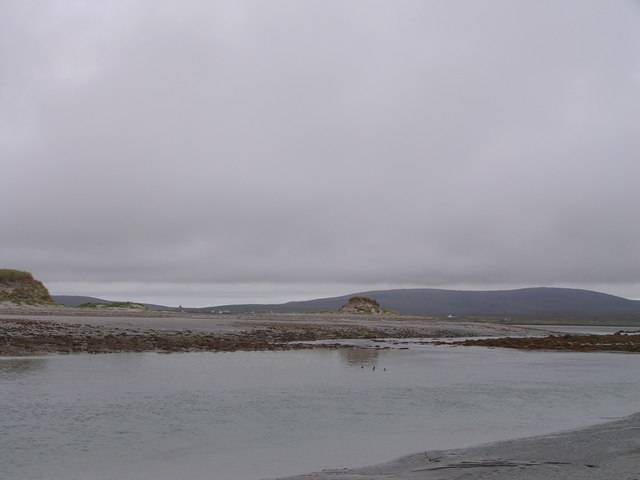
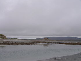
Kirkibost est une île du Royaume-Uni située en Écosse.
Wikimedia Foundation.
2010.
Contenu soumis à la licence CC-BY-SA. Source : Article Kirkibost de Wikipédia en français (auteurs)
Regardez d'autres dictionnaires:
Kirkibost — Infobox Scottish island | latitude=57.56 longitude= 7.42 GridReference=NF758640 celtic name= Eilean Chirceboist norse name= meaning of name= area= 205 area rank= 106= highest elevation=7 m Population=0 population rank= main settlement= island… … Wikipedia
Great Bernera — Infobox Scottish island | latitude=58.2 longitude= 6.85 GridReference=NB162344 celtic name=Bearnaraigh Mòr norse name=bjarnar øy meaning of name= Bjørn s island from Norse area= 2122 ha area rank= 34 highest elevation= 80 m Population=233… … Wikipedia
Macaulay family of Lewis — The Macaulay family of Uig in Lewis, known in Scottish Gaelic as Clann mhic Amhlaigh,[1] were a small family located around Uig on the Isle of Lewis in the Outer Hebrides of Scotland. There is no connection between the Macaulays of Lewis and Clan … Wikipedia
North Uist — Location … Wikipedia
Baleshare — Infobox Scottish island latitude=57.53 longitude= 7.37 GridReference=NF788619 celtic name=Am Baile Sear norse name= meaning of name= Gaelic for east farm . area=910 ha area rank=53 highest elevation=12 m Population=49 population rank=56 main… … Wikipedia
List of state schools in Scotland/Council Areas S-W (excluding cities) — The following is a partial list of currently operating state schools in the unitary council areas of Scottish Borders, Shetland Islands, South Ayrshire, South Lanarkshire, Stirling, West Dunbartonshire, West Lothian and Western Isles in Scotland … Wikipedia
List of Sites of Special Scientific Interest in Western Isles South — The following is a list of Sites of Special Scientific Interest in the Western Isles South Area of Search; for Western Isles North see List of SSSIs in Western Isles North. For SSSIs elsewhere in Scotland, see List of SSSIs by Area of Search.*… … Wikipedia
List of Nature Conservation Review sites — The following is a list of sites listed in Derek Ratcliffe s 1979 book A Nature Conservation Review . The headings, subheadings, site codes and site names are the same as those used in the original work.Coastlandsoutheast Englandouth west… … Wikipedia
Camasunary — refers to the homestead situated on the grassy platform of the raised beach, to the north east of the shore, at the bay known as Camas Fhionnairigh, meaning Bay of the White Shieling in Gaelic. This is a small bay on the Strathaird peninsula of… … Wikipedia
List of places in Highland — This article is a list of links for any town, village, hamlet and settlements, in the Highland council area in Scotland. The area encompassed by the Highland council is a slightly different area to that encompassed by the Scottish… … Wikipedia
 Royaume-Uni
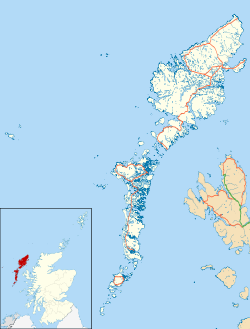
 Kirkibost