Gelai
- Gelai
-
Mont Gelai
Le mont Gelai est un volcan éteint situé au nord de la Tanzanie, dans le massif du Ngorongoro.
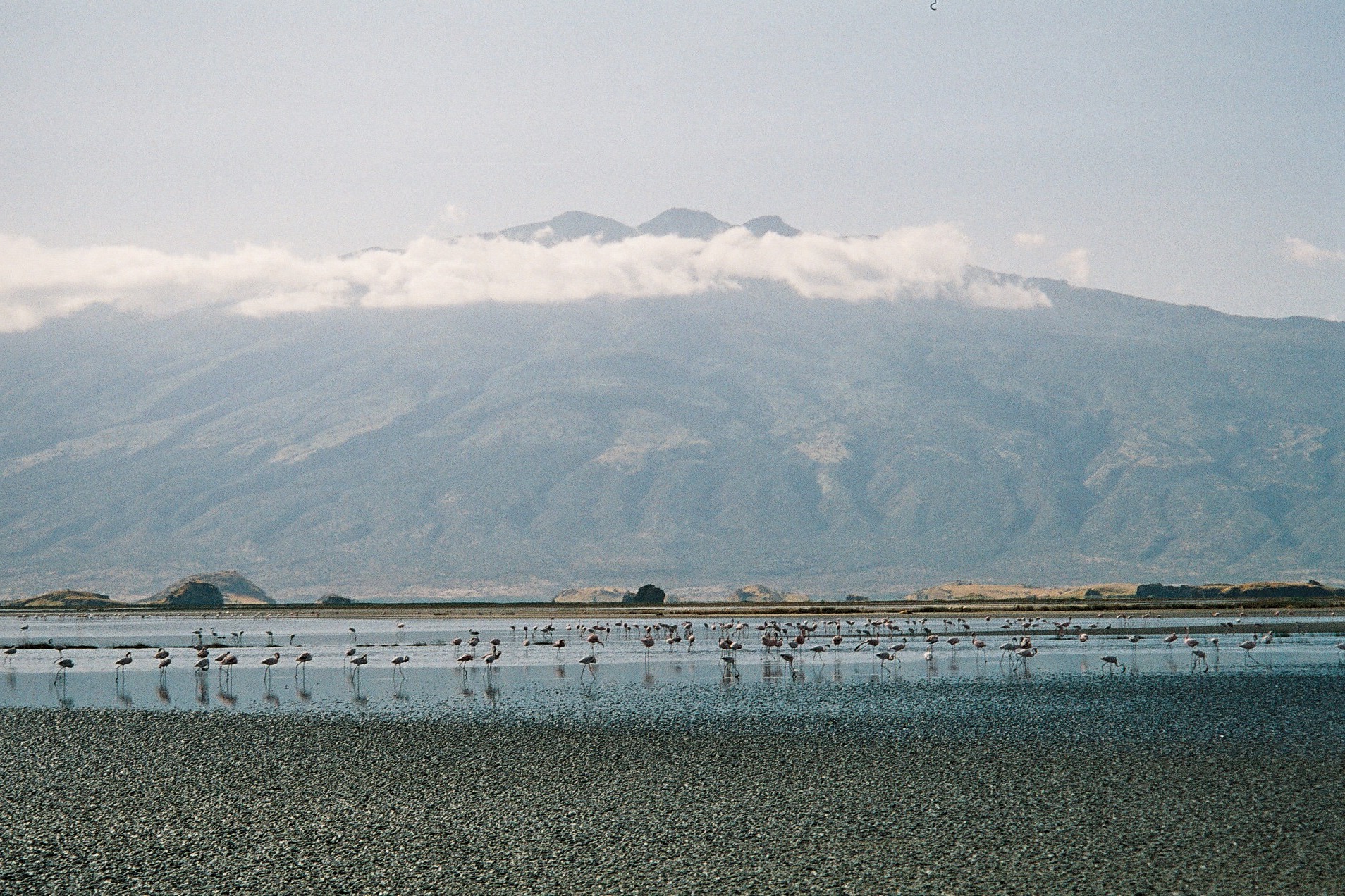
Ce volcan, culminant à 2 942 mètres d'altitude, domine l'extrémité sud-est du lac Natron logé dans la vallée du grand rift. Face à lui, à 25 kilomètres de distance de l'autre coté du rift, se trouve un autre volcan, l'Ol Doinyo Lengaï, qui est lui actif.
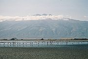
Le Mont Gelai et le lac Natron à ses pieds
Référence
- (en) Cet article est partiellement ou en totalité issu d’une traduction de l’article de Wikipédia en anglais intitulé « Gelai Volcano ».
 Portail de la Tanzanie
 Portail de la montagne
 Portail de la volcanologie
Catégories : Volcan éteint | Volcan rouge | Montagne de Tanzanie | Volcan de Tanzanie
Wikimedia Foundation.
2010.
Contenu soumis à la licence CC-BY-SA. Source : Article Gelai de Wikipédia en français (auteurs)
Regardez d'autres dictionnaires:
Gelai Volcano — Gelai redirects here. For the given name, see Angelica (given name). Topographical map of the Crater Highlands, looking from the north to the southwest. Gelai is to the right The Gelai Volcano stands at 9,652ft (2,942m) tall and is located in… … Wikipedia
Gelai Lumbwa — BASEPAGENAME is an administrative ward in the Monduli district of the Arusha Region of Tanzania. According to the 2002 census, the ward has a total population of 4,219. [cite web|url=http://www.tanzania.go.tz/census/census/districts/monduli.htm|ti… … Wikipedia
Gelai Meirugoi — BASEPAGENAME is an administrative ward in the Monduli district of the Arusha Region of Tanzania. According to the 2002 census, the ward has a total population of 5,423. [cite web|url=http://www.tanzania.go.tz/census/census/districts/monduli.htm|ti… … Wikipedia
Mont Gelai — Le mont Gelai dominant le lac Natron logé dans la vallée du grand rift Géographie Altitude 2 942 m Massif … Wikipédia en Français
Magkaribal — Format Romance, Drama, Fashion, Thriller, Suspense, Mystery Directed … Wikipedia
Lac Natron — Pour l’article homonyme, voir Natron. Natron Le mont Gelai se reflétant dans les eaux du lac Natron … Wikipédia en Français
Mont Kitumbeine — Carte topographique du massif du Ngorongoro montrant le mont Kitumbeine au second plan à gauche Géographie Altitude 2 … Wikipédia en Français
Monduli — District Map of Arusha Region s Districts with Monduli highlighted. Country Tanzania … Wikipedia
Makuyuni — is an administrative ward in the Monduli district of the Arusha Region of Tanzania. According to the 2002 census, the ward has a total population of 12,267.[1] References ^ 2002 Population and Housing Census General Report (in en). Government of… … Wikipedia
Matale (Tanzanian ward) — Matale is an administrative ward in the Monduli district of the Arusha Region of Tanzania. According to the 2002 census, the ward has a total population of 3,414.[1] References ^ 2002 Population and Housing Census General Report (in en).… … Wikipedia
 Tanzanie


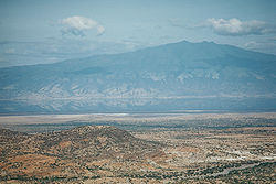
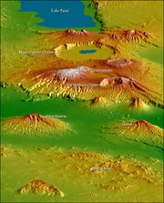 Carte topographique montrant le massif du Ngorongoro. Le Mont Gelai est au troisième plan à droite