Falut
Contenu soumis à la licence CC-BY-SA. Source : Article Falut de Wikipédia en français (auteurs)
Regardez d'autres dictionnaires:
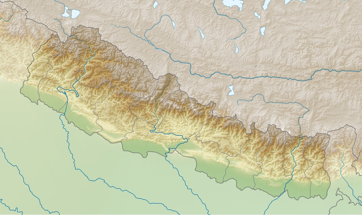
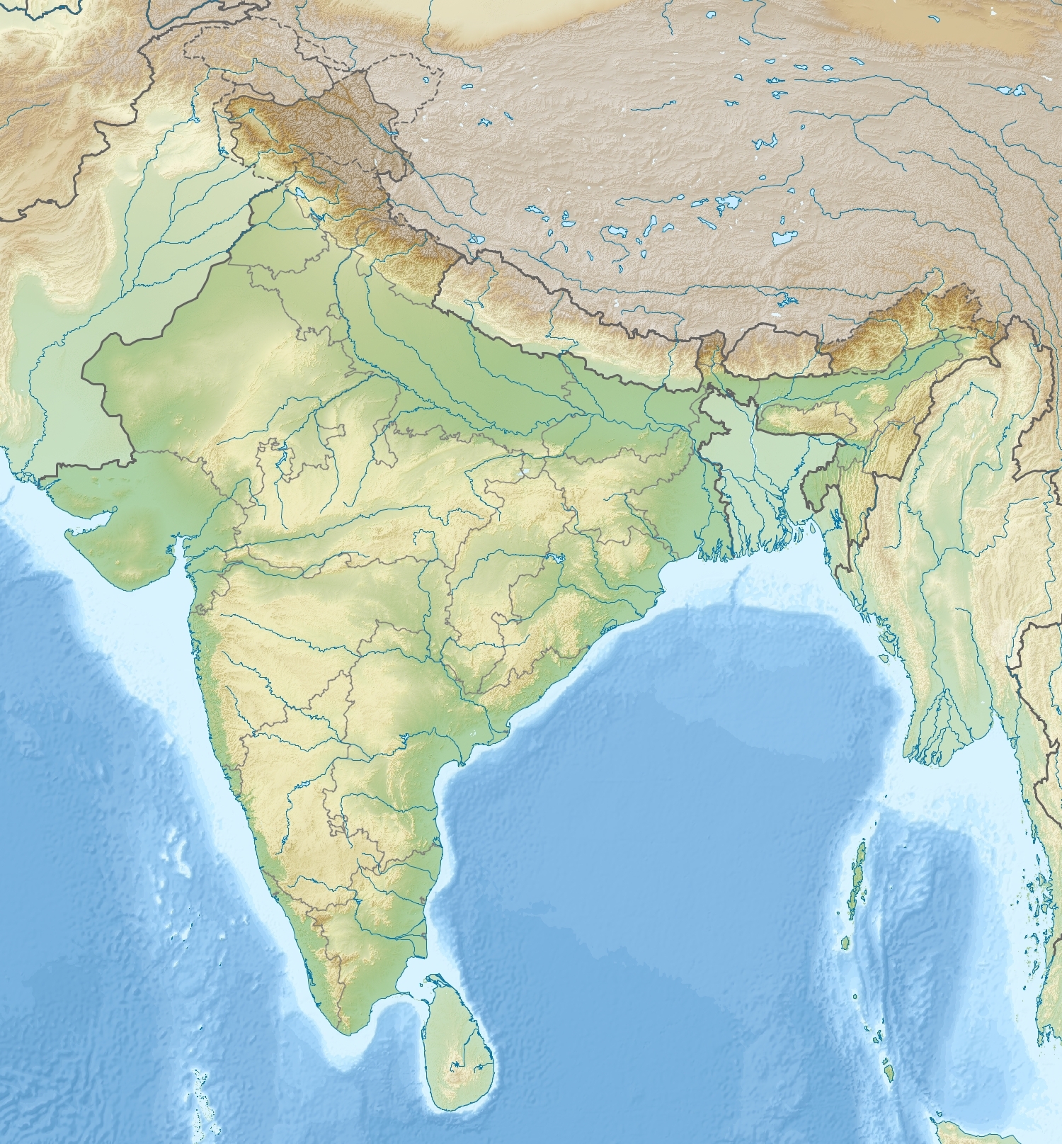
Falut — Phalut or Falut (3600 m) is the second highest peak of West Bengal, India. Part of the Singalila Ridge in the Himalayas, it is located at the border of the Indian states of West Bengal and Sikkim and the country of Nepal. It is located inside the … Wikipedia
Markotabödöge — önálló község. Győr Moson Sopron megye északnyugati részén a Tóközben fekszik, közel a Hansághoz. Felszínét mélyebben fekvő területek és halmok teszik változatossá. Talaja sötét láptalaj, míg a halmokon lösszel kevert homok. A nyár többnyire… … Wikipedia
Sukhiapokhri — Infobox Indian Jurisdiction native name=Sukhiapokhri type = town latd = 27.00 | longd = 88.14 locator position=right state name=West Bengal district=Darjeeling leader title=Chairman, DGAHC leader name= Subash Ghishing altitude= 2194 population as … Wikipedia
Darjeeling — This article is about the municipality in West Bengal, India. For its namesake district, see Darjeeling district. For other uses, see Darjeeling (disambiguation). Darjeeling city … Wikipedia
Darjeeling Himalayan Railway — World Heritage Site Darjeeling Himalayan Railway … Wikipedia
Gorkhaland — (Nepali: गोर्खाल्याण्ड) is the name of the proposed state in India demanded by the Nepali/Gorkhali speaking Nepali/Gorkha ethnic group in Darjeeling and the Dooars in north West Bengal. The demand for a separate administrative unit in this region … Wikipedia
Geography of West Bengal — West Bengal audio|West Bengal.ogg|pronunciation (Bengali: পশ্চিমবঙ্গ, Poshchimbôŋgo ) is a state in eastern India. Geography of West Bengal is diverse, consisting of high peaks of Himalaya in the northern extremes to coastal regions down south,… … Wikipedia
Darjeeling Himalayan hill region — or Darjeeling Himalaya is the mountainous area on the North Western side of the state of West Bengal in India. This region belongs to the Eastern Himalaya range. The whole of the Darjeeling district except the Siliguri subdivision constitutes the … Wikipedia
Tiger Hill, Darjeeling — Tiger Hill is the summit of Ghoom, the highest railway station on the Darjeeling Himalayan Railway – a UNESCO World Heritage Site. It is famous for spectacular sunrise view over the Himalayas. Leveling out at 8,500 ft (2,600 m), Tiger… … Wikipedia
Observatory Hill, Darjeeling — View to Kangchenjunga from the eastern side of Observatory Hill Observatory Hill is a hill near Chowrasta square, or The Mall as it is popularly known, in Darjeeling, West Bengal, India. Magnificent views of snow clad peaks, including Mount… … Wikipedia

 Inde
Inde Népal
Népal