- Erval Velho
-
Erval Velho 
Blason d'Erval Velho
Drapeau d'Erval VelhoAdministration Pays  Brésil
Région Sud État  Santa Catarina
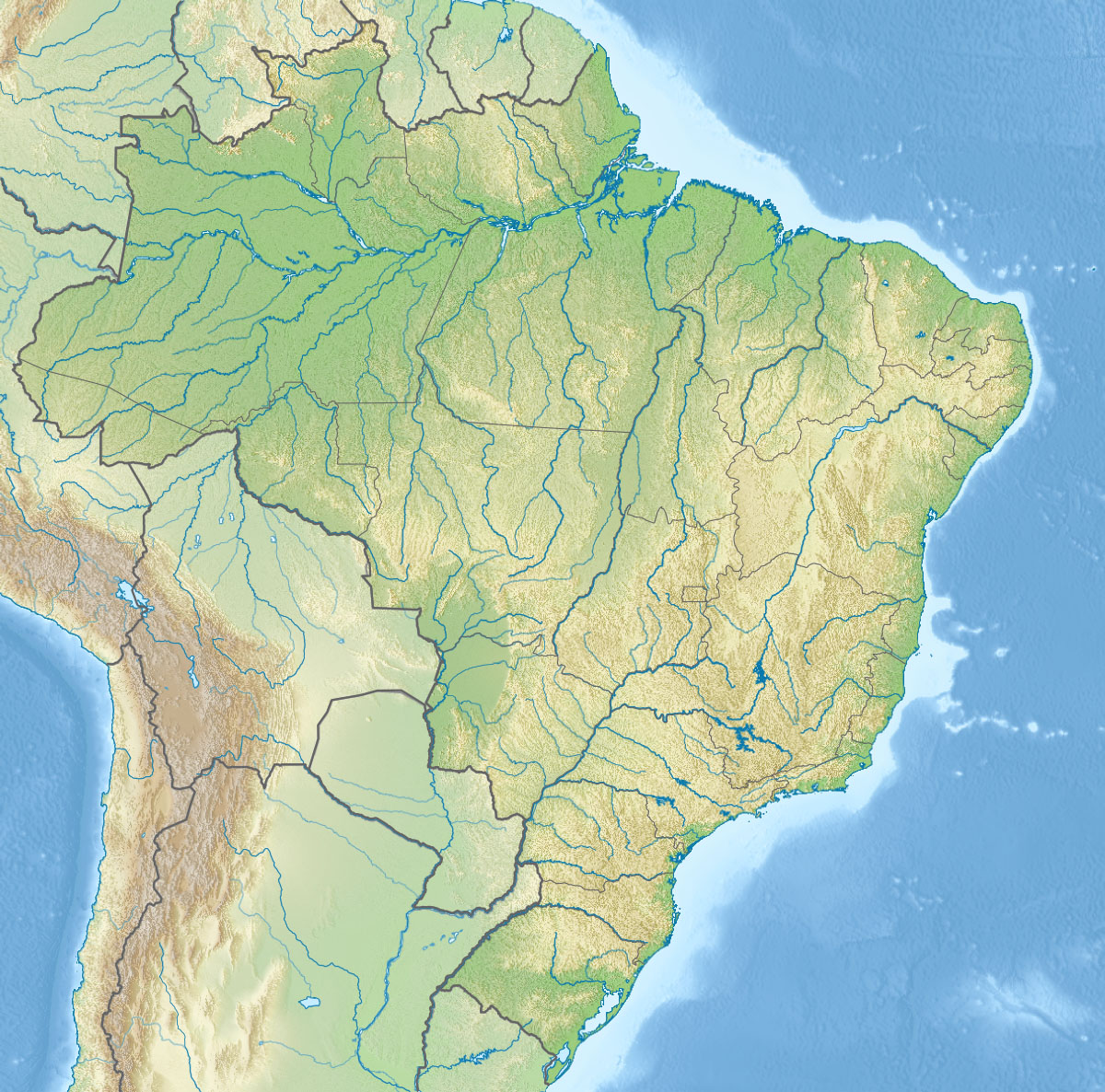
Maire Lenita Dadalt Fontana (PMDB) jusqu'en 2012 Code postal 89613-000 Site web Site officiel de Erval Velho Démographie Population 4 098 hab. (IBGE 04/2007) Densité 20 hab./km² Gentilé ervalense Géographie Coordonnées Altitude 674 m Superficie 208 km2 Informations Date de fondation 1870 Création de la municipalité Loi nº 889 de l'État de Santa Catarina du 18 juin 1963 Fuseau horaire UTC-3 Indicatif téléphonique 49 Localisation de Erval Velho 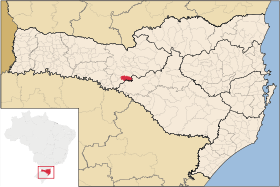

Erval Velho est une ville brésilienne de l'ouest de l'État de Santa Catarina.
Sommaire
Géographie
Erval Velho se situe par une latitude de 27º 16' 32" sud et par une longitude de 51º 26' 31" ouest, à une altitude de 674 mètres. Sa population était de 4 098 habitants au recensement de 2007[1]. La municipalité s'étend sur 208 km²[2].
Elle fait partie de la microrégion de Joaçaba, dans la mésorégion Ouest de Santa Catarina.
Histoire
Le territoire de la muncipalité actuelle de Erval Velho était habité par des indiens bororos.
Le peuplement moderne de la ville commença avec l'arrivée de quelques familles en provenance de l'État voisin du Rio Grande do Sul vers 1870, qui s'installèrent sur les rives du rio Erval.
La petite colonie s'appela d'abord São Sebastião do Erval, puis Arco Verde, et enfin Erval Velho. Le nom de la ville tire son origine de la grande quantité de yerba maté (erva-mate en portugais) que l'on trouve dans la région.
En 1881, la localité devient district de Campos Novos puis, en 1963, municipalité indépendante.
Villes voisines
Erval Velho est voisine des municipalités (municípios) suivantes :
Liens externes
- (pt) Site officiel de la municipalité
- (pt) Erval Velho sur le site officiel de l'État de Santa Catarina
- (pt) Données sur Erval Velho sur le site de la fédération des municipalités de Santa Catarina
- (pt) Fiche historique et administrative d'Erval Velho dans la base de donnée de l'IBGE
- (pt) Données statistiques et économiques sur Erval Velho - Cidades@IBGE
Références
Catégorie :- Ville de Santa Catarina


Wikimedia Foundation. 2010.