Errisbeg
- Errisbeg
-
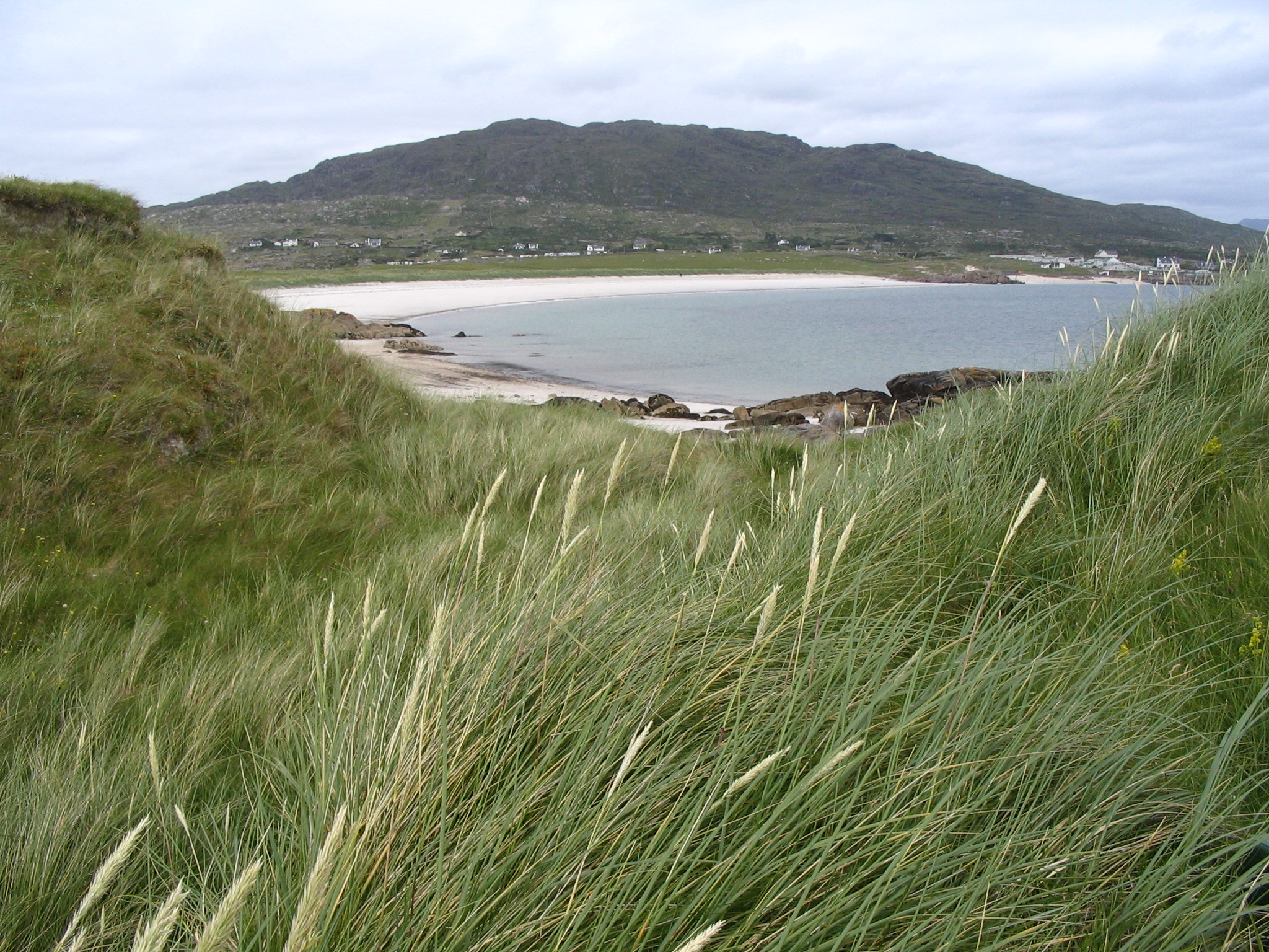
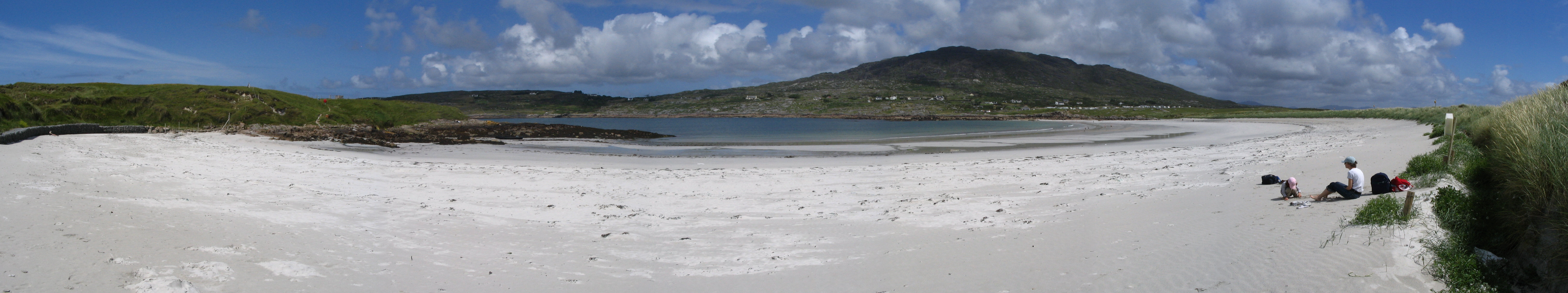
Errisbeg Mountain ou Errisbeg ou Iorras Beag est une colline située dans le Connemara, Comté de Galway, en République d'Irlande. Culminant à une hauteur de 280 mètres, il domine le village de Roundstone (Cloch na Ron) à l'ouest, les tourbières de Roundstone Bog au nord et les baies Dogs Bay et Gorteen Bay au sud.
Wikimedia Foundation.
2010.
Contenu soumis à la licence CC-BY-SA. Source : Article Errisbeg de Wikipédia en français (auteurs)
Regardez d'autres dictionnaires:
Errisbeg House B&B — (Раундстоун,Ирландия) Категория отеля: Адрес: Errisbeg, Раундстоун, Ирландия … Каталог отелей
Errisbeg Lodge B&B — (Раундстоун,Ирландия) Категория отеля: 3 звездочный отель Адрес: Connemara, Раун … Каталог отелей
Achill Island — Achill Native name: Acaill, Oileán Acla View of the Island using NASA s technology overhead … Wikipedia
Croagh Patrick — Cruach Phádraig The Reek … Wikipedia
Connemara — For the region on Jupiter s moon Europa, see Conamara Chaos. For the breed of horse, see Connemara pony. Twelve Bens … Wikipedia
Maumturks — Maumturk Mountains Na Sléibhte Mhám Toirc (The Maumturks/Maamturks, the Turks (fam.)) are a picturesque mountain range in Connemara in the west of Ireland. They are less well known than their more famous neighbours, the Twelve Bens on the other… … Wikipedia
Devilsmother — Magairlí an Deamhain … Wikipedia
Mweelrea — Cnoc Maol Réidh Mweelrea over Killary Harbour … Wikipedia
List of Marilyns in Ireland — A list of the Marilyns of the Republic of Ireland. In the British Isles, a Marilyn is a hill with a relative height of at least 150 metres.*Carrauntoohil 1,038 m *Cnoc na Péiste 988 m *Brandon Mountain 951 m *Lugnaquilla 924 m *Galtymore 917 m… … Wikipedia
Nephin — For the Crusader fortress in the Holy Land, see County of Tripoli. Nephin Néifinn Nephin with Lough Conn … Wikipedia

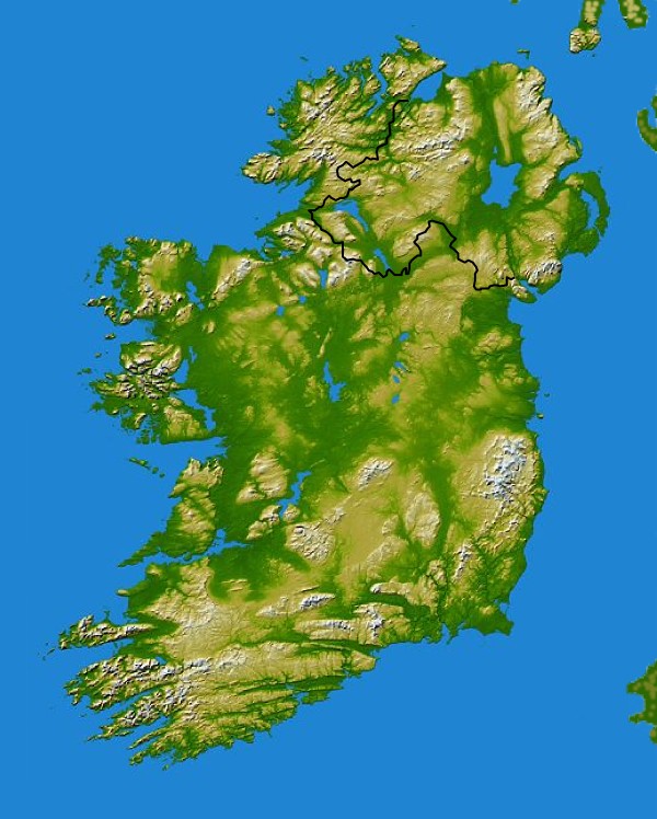
 Irlande


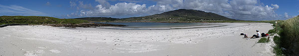 Errisbeg depuis Dogs Bay