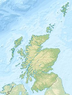
Eorsa
Contenu soumis à la licence CC-BY-SA. Source : Article Eorsa de Wikipédia en français (auteurs)
Regardez d'autres dictionnaires:
Eorsa — Saltar a navegación, búsqueda Eorsa es una isla deshabitada, localizada en el archipiélago de las Hébridas Interiores, en Escocia. La isla se encuentra ubicada en el Loch na Keal, en la costa oeste de la Isla de Mull. La isla es el escenario… … Wikipedia Español
Eorsa — Infobox Scottish island | latitude=56.47 longitude= 6.08 GridReference=NM481378 celtic name= norse name= meaning of name= uncertain Jorulof øy Jorulf s island or from àrsaidh ancient area=122 ha (½ sq. mile) area rank= 137= highest elevation= 98… … Wikipedia
Isle of Mull — Mull redirects here. For other uses, see Mull (disambiguation). Isle of Mull Location OS grid reference … Wikipedia
Kilfinichen and Kilviceuen — KILFINICHEN and KILVICEUEN, a parish, in the district of Mull, county of Argyll; containing, with Iona, 4113 inhabitants, of whom 250 are in the village of Bonessan. This place takes its name from the churches of the two ancient parishes… … A Topographical dictionary of Scotland
Inner Hebrides — The Inner Hebrides (Scottish Gaelic: Na h Eileanan a staigh the inner isles) is an archipelago off the west coast of Scotland, to the south east of the Outer Hebrides. They are part of the Hebrides. In classical sources, they are referred to as… … Wikipedia
Staffa — Location … Wikipedia
Ulva — Infobox Scottish island | GridReference=NM410396 celtic name=Ulbha norse name=Ulv oy/Ulfrsey meaning of name=Old Norse for wolf island or Ulfr s island area=1,990 ha area rank=35 highest elevation=Beinn Chreagach 313 m Population=16 population… … Wikipedia
Duart Castle — Duart Castle, Isle of Mull Duart Castle … Wikipedia
Mull Historical and Archaeological Society — For the musical artist with a similar name, see Mull Historical Society. Mull Historical Archaeological Society were originally called simply Mull Historical Society but changed their name to underline the importance of archaeology in their work… … Wikipedia
Craignure — Coordinates: 56°28′N 5°43′W / 56.46°N 5.71°W / 56.46; 5.71 … Wikipedia
 Royaume-Uni
 Royaume-Uni

