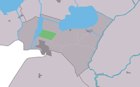
Eesterga
Contenu soumis à la licence CC-BY-SA. Source : Article Eesterga de Wikipédia en français (auteurs)
Regardez d'autres dictionnaires:
Eesterga — Infobox Settlement official name = Eesterga mapsize = 280px subdivision type = Country subdivision name = flagicon|Netherlands Netherlands subdivision type1 = Province subdivision name1 = flagicon|Friesland Friesland settlement type = Village… … Wikipedia
Jistergea — Eesterga 52°51′53″N 5°43′34″E / 52.86472, 5.72611 … Wikipédia en Français
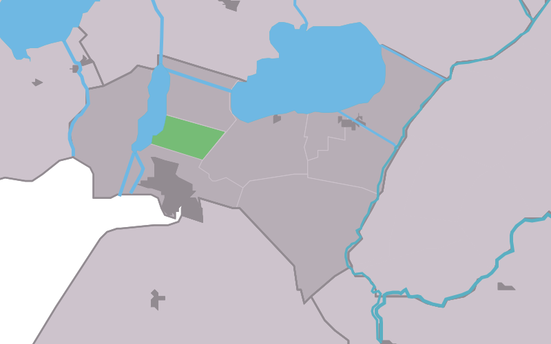
Lemsterland — Infobox Settlement official name = Lemsterland image seal size = 70px mapsize = 280px subdivision type = Country subdivision name = Netherlands subdivision type1 = Province subdivision name1 = Friesland area footnotes = (2006) area total km2 =… … Wikipedia
Follega — 52°53′22″N 5°44′11″E / 52.88944, 5.73639 … Wikipédia en Français
Follegea — Follega 52°53′22″N 5°44′11″E / 52.88944, 5.73639 … Wikipédia en Français
Lemsterland — Gemeinde Lemsterland Flagge Wappen Provinz Friesland … Deutsch Wikipedia
Lemsterland — Héraldique … Wikipédia en Français
List of places in the Netherlands — This is an alphabetical list of places (cities, towns, villages) in the Netherlands. Lists per province can be found at:* List of towns in Groningen * List of towns in Friesland * List of towns in Drente * List of towns in Overijssel * List of… … Wikipedia
Bantega — 52°50′32″N 5°47′47″E / 52.84222, 5.79639 … Wikipédia en Français
Bantegea — Bantega 52°50′32″N 5°47′47″E / 52.84222, 5.79639 … Wikipédia en Français
 Pays-Bas