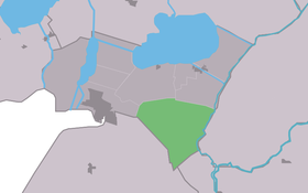
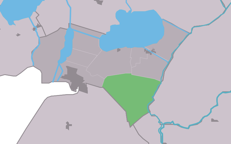
Bantega
Contenu soumis à la licence CC-BY-SA. Source : Article Bantega de Wikipédia en français (auteurs)
Regardez d'autres dictionnaires:
Bantega — Infobox Settlement official name = Bantega mapsize = 280px subdivision type = Country subdivision name = flagicon|Netherlands Netherlands subdivision type1 = Province subdivision name1 = flagicon|Friesland Friesland settlement type = Village… … Wikipedia
Bantegea — Bantega 52°50′32″N 5°47′47″E / 52.84222, 5.79639 … Wikipédia en Français
Het Vijfde Seizoen — (Bantega,Нидерланды) Категория отеля: Адрес: Middenweg 108, 8538 RA Bantega, Нид … Каталог отелей
Lemsterland — Infobox Settlement official name = Lemsterland image seal size = 70px mapsize = 280px subdivision type = Country subdivision name = Netherlands subdivision type1 = Province subdivision name1 = Friesland area footnotes = (2006) area total km2 =… … Wikipedia
List of places in the Netherlands — This is an alphabetical list of places (cities, towns, villages) in the Netherlands. Lists per province can be found at:* List of towns in Groningen * List of towns in Friesland * List of towns in Drente * List of towns in Overijssel * List of… … Wikipedia
Lemsterland — Gemeinde Lemsterland Flagge Wappen Provinz Friesland … Deutsch Wikipedia
Bant — Administration Pays Pays Bas Province Flevoland Commune … Wikipédia en Français
De Lemmer — Lemmer 52°50′40″N 5°42′43″E / 52.84444, 5.71194 … Wikipédia en Français
Delfstrahuizen — 52°52′30″N 5°49′32″E / 52.875, 5.82556 … Wikipédia en Français
Dolsterhuzen — Delfstrahuizen 52°52′30″N 5°49′32″E / 52.875, 5.82556 … Wikipédia en Français
 Pays-Bas