Družetić
- Družetić
-
Družetić (en serbe cyrillique : Дружетић) est un village de Serbie situé dans la municipalité de Koceljeva, district de Mačva. En 2002, il comptait 669 habitants[1], dont 654 Serbes (97,75 %) et 6 Roms (0,89 %)[2].
Družetić est situé sur les bords de l'Ub, un affluent de la Tamnava.
Démographie
Évolution démographique
| 1948 |
1953 |
1961 |
1971 |
1981 |
1991 |
2002 |
| 1 205 |
1 181 |
1 104 |
1 012 |
983 |
812 |
669[1] |
Notes et références
- ↑ a et b (sr) Livre 9, Population, analyse comparative de la population en 1948, 1953, 1961, 1971, 1981, 1991 et 2002, données par localités, Institut de statistique de la République de Serbie, Belgrade, mai 2004 (ISBN 86-84433-14-9)
- ↑ (sr) Livre 1, Population, origine nationale ou ethnique, données par localités, Institut de statistique de la République de Serbie, Belgrade, février 2003 (ISBN 86-84433-00-9)
Voir aussi
Articles connexes
Liens externes
Wikimedia Foundation.
2010.
Contenu soumis à la licence CC-BY-SA. Source : Article Družetić de Wikipédia en français (auteurs)
Regardez d'autres dictionnaires:
Druzetic — Družetić Družetić Дружетић [[Image:|100px|center|Blason]] [[Image:|100px|center|Drapaeau]] Héraldique Drapeau … Wikipédia en Français
Druzetić — Družetić Družetić Дружетић [[Image:|100px|center|Blason]] [[Image:|100px|center|Drapaeau]] Héraldique Drapeau … Wikipédia en Français
Družetić — Location of the Koceljeva municipality in Serbia Družetić (Дружетић) is a village in Serbia. It is situated on the banks of the Ub river in the Koceljeva municipality, in the Mačva District of Central Serbia. The village had a Serb ethnic… … Wikipedia
Koceljeva — Коцељева Héraldique … Wikipédia en Français
Koceljeva — Infobox Serbia municipality native name = Коцељева|official name=Koceljeva image shield =Koceljeva COA.gif district = Mačva mayor = Veroljub Matić area km2 = 257 population total = 4645 | mpop=15636 latd = 44| latm = 28|longd = 19| longm = 49… … Wikipedia
Ub River — Infobox River | river name = Ub (Уб) caption = origin = Vlašić mountain, northeast of Osečina, Serbia mouth = Tamnava river, near Šarbane, Serbia basin countries = Serbia length = 57 km elevation = discharge = watershed = 274 km²The Ub (Serbian… … Wikipedia
List of cities, towns and villages in Serbia — This is the complete list of settlements in Serbia without Kosovo, as recorded by 2002 census, sorted by municipalities. Settlements denoted as urban (towns and cities) are marked bold. Population for every settlement is given in brackets. The… … Wikipedia
List of settlements in Serbia (alphabetic) — This is the complete list of settlements in Serbia without Kosovo, as recorded by 2002 census, in alphabetic order. Settlements denoted as urban (towns and cities) are marked bold. Population for every settlement is given in brackets. The same… … Wikipedia
Batalage — Баталаге Administration Pays Serbie … Wikipédia en Français
Brdarica — Брдарица Administration Pays Serbie … Wikipédia en Français
 Serbie
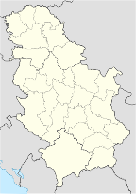
 Družetić