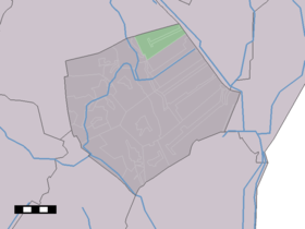
Drouwenermond
Contenu soumis à la licence CC-BY-SA. Source : Article Drouwenermond de Wikipédia en français (auteurs)
Regardez d'autres dictionnaires:
Drouwenermond — Drouwenermond … Wikipedia
List of cities, towns and villages in Drenthe — This is a list of settlements in the province of Drenthe, in the Netherlands. Name Municipality Coordinates Aalden Coevorden … Wikipedia
Borger-Odoorn — Gemeinde Borger Odoorn Flagge Wappen Provinz … Deutsch Wikipedia
Borger-Odoorn — Pour les articles homonymes, voir Borger. Borger Odoorn … Wikipédia en Français
Borger-Odoorn — Infobox Settlement official name = Borger Odoorn mapsize = 280px subdivision type = Country subdivision name = Netherlands subdivision type1 = Province subdivision name1 = Drenthe area footnotes = (2006) area total km2 = 277.92 area land km2 =… … Wikipedia
List of places in the Netherlands — This is an alphabetical list of places (cities, towns, villages) in the Netherlands. Lists per province can be found at:* List of towns in Groningen * List of towns in Friesland * List of towns in Drente * List of towns in Overijssel * List of… … Wikipedia
Drouwen — Dorpsgezicht Drouwen Hunebed bij Drouwen … Wikipedia
Drouwenerveen — Kerkgebouw … Wikipedia
Nieuw-Buinen — in the … Wikipedia
Odoorn — Coat of arms … Wikipedia
 Pays-Bas