Valthe
Contenu soumis à la licence CC-BY-SA. Source : Article Valthe de Wikipédia en français (auteurs)
Regardez d'autres dictionnaires:
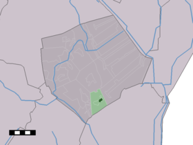
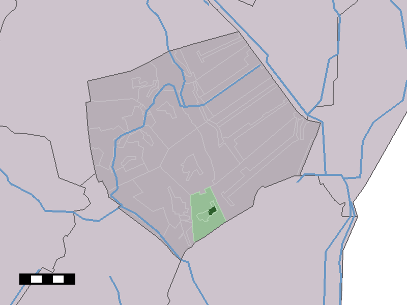
Valthe — Dutch town locator maps mun town caption = The village centre (dark green) and the statistical district (light green) of Valthe in the municipality of Borger Odoorn.Valthe (coord|52|51|N|6|54|E|type:city(829)) is a village in the Dutch province… … Wikipedia
Muijsers — (Valthe,Нидерланды) Категория отеля: 2 звездочный отель Адрес: 7872AA Valthe, Нидерланды … Каталог отелей
Borger-Odoorn — Gemeinde Borger Odoorn Flagge Wappen Provinz … Deutsch Wikipedia
Bohlenwege im Emsland — Vorgeschichtliche Bohlenwege im Emsland finden sich in den Hochmooren beiderseits der Ems. Links der Ems reicht das Bourtanger Moor, von schmalen, gestreckten Sandrücken unterbrochen, bis weit in die Niederlande hinein und endet am Hondsrug,… … Deutsch Wikipedia
List of cities, towns and villages in Drenthe — This is a list of settlements in the province of Drenthe, in the Netherlands. Name Municipality Coordinates Aalden Coevorden … Wikipedia
Borger-Odoorn — Pour les articles homonymes, voir Borger. Borger Odoorn … Wikipédia en Français
Joost Barbiers — Zonnetafel (Solarenergietafel) in Valthe … Deutsch Wikipedia
Borger-Odoorn — Infobox Settlement official name = Borger Odoorn mapsize = 280px subdivision type = Country subdivision name = Netherlands subdivision type1 = Province subdivision name1 = Drenthe area footnotes = (2006) area total km2 = 277.92 area land km2 =… … Wikipedia
List of places in the Netherlands — This is an alphabetical list of places (cities, towns, villages) in the Netherlands. Lists per province can be found at:* List of towns in Groningen * List of towns in Friesland * List of towns in Drente * List of towns in Overijssel * List of… … Wikipedia
Drouwen — Dorpsgezicht Drouwen Hunebed bij Drouwen … Wikipedia
 Pays-Bas