Doljašnica
- Doljašnica
-
Doljašnica (en serbe cyrillique : Дољашница) est un village de Serbie situé dans la municipalité de Veliko Gradište, district de Braničevo. En 2002, il comptait 409 habitants[1], dont une majorité de Serbes.
Démographie
Évolution historique de la population
Évolution démographique
| 1948 |
1953 |
1961 |
1971 |
1981 |
1991 |
2002 |
| 872 |
838 |
822 |
815 |
774 |
768 |
409[1] |
Répartition de la population (2002)
Notes et références
- ↑ a et b (sr) Livre 9, Population, analyse comparative de la population en 1948, 1953, 1961, 1971, 1981, 1991 et 2002, données par localités, Institut de statistique de la République de Serbie, Belgrade, mai 2004 (ISBN 86-84433-14-9)
- ↑ (sr) Livre 1, Population, origine nationale ou ethnique, données par localités, Institut de statistique de la République de Serbie, Belgrade, février 2003 (ISBN 86-84433-00-9)
Voir aussi
Articles connexes
Liens externes
Wikimedia Foundation.
2010.
Contenu soumis à la licence CC-BY-SA. Source : Article Doljašnica de Wikipédia en français (auteurs)
Regardez d'autres dictionnaires:
Doljasnica — Doljašnica Doljašnica Дољашница [[Image:|100px|center|Blason]] [[Image:|100px|center|Drapaeau]] Héraldique Drapeau … Wikipédia en Français
Doljašnica — Village Country Serbia District Braničevo District … Wikipedia
Veliko Gradiste — Veliko Gradište Veliko Gradište Велико Градиште [[Image:|100px|center|Blason]] [[Image:|100px|center|Drapaeau]] Héraldique Drapeau … Wikipédia en Français
Veliko Gradište — Велико Градиште Héraldique … Wikipédia en Français
Trebišnjica River — is a river in Bosnia and Herzegovina, Montenegro and Croatia. It is a sinking river, 98 km long above the ground. With a total length of 187 km above and under the ground, it is one of the longest sinking rivers in the world. Upper course As it… … Wikipedia
List of cities, towns and villages in Serbia — This is the complete list of settlements in Serbia without Kosovo, as recorded by 2002 census, sorted by municipalities. Settlements denoted as urban (towns and cities) are marked bold. Population for every settlement is given in brackets. The… … Wikipedia
List of settlements in Serbia (alphabetic) — This is the complete list of settlements in Serbia without Kosovo, as recorded by 2002 census, in alphabetic order. Settlements denoted as urban (towns and cities) are marked bold. Population for every settlement is given in brackets. The same… … Wikipedia
Trebisnjica — Die Trebišnjica im Zentrum von Trebinje Die Trebišnjica (kyrillisch Требишњица) ist ein Fluss in Bosnien und Herzegowina, Montenegro und Kroatien, der 98 km oberirdisch und weitere 89 km unterirdisch verläuft. Die Trebišnjica fließt durch die… … Deutsch Wikipedia
Trebišnjica — Die Trebišnjica im Zentrum von Trebinje Die Trebišnjica (kyrillisch Требишњица) ist ein Fluss in Bosnien und Herzegowina, Montenegro und Kroatien, der 98 km oberirdisch und weitere 89 km unterirdisch verläuft. Die Trebišnjica fließt… … Deutsch Wikipedia
Biskuplje — Бискупље Administration Pays Serbie … Wikipédia en Français
 Serbie
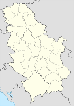
 Doljašnica