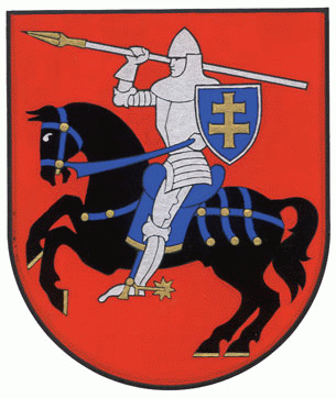
District de Vilnius
- District de Vilnius
-
District de Vilnius
La municipalité de Vilnius (campagne) est l'une des 60 municipalités de Lituanie. Son chef-lieu est Nemenčinė. Sa population est majoritairement polonaise (61.3% en 2001).
Catégorie : Municipalité de Lituanie
Wikimedia Foundation.
2010.
Contenu soumis à la licence CC-BY-SA. Source : Article District de Vilnius de Wikipédia en français (auteurs)
Regardez d'autres dictionnaires:
Municipalité du district de Vilnius — 54° 44′ 00″ N 25° 23′ 00″ E / 54.73333333, 25.38333333 … Wikipédia en Français
Vilnius city municipality — Vilniaus miesto savivaldybė Municipality … Wikipedia
Vilnius County — Infobox Settlement official name = Vilnius County native name=Vilniaus apskritis settlement type= countyleader title = County governor leader name= Alfonsas Macaitis image caption = map caption = Location of Vilnius County image shield = Vilnius… … Wikipedia
Vilnius Region — (Lithuanian: Vilniaus kraštas , pl. Wileńszczyzna) generally refers to the territory in the present day Lithuania and Belarus that was assigned to Lithuania by the Soviet Lithuanian Treaty of 1920, but was under Polish control from 1920 to 1939.… … Wikipedia
Vilnius Old Town — Vilnius Historic Center * UNESCO World Heritage Site Country … Wikipedia
Vilnius municipality — can refer to either of these two municipalities in Lithuania:* Vilnius city municipality * Vilnius district municipality … Wikipedia
Vilnius — Infobox Settlement name = Vilnius nickname = settlement type = City municipality image caption = Downtown Vilnius map caption = Location of Vilnius image shield = Grand Coat of arms of Vilnius.png latd=54|latm=41|lats=|latNS=N|longd=25|longm=17|lo… … Wikipedia
Vilnius district municipality — Infobox Settlement official name = Vilnius district municipality native name=Vilniaus rajono savivaldybė map caption = Location of Vilnius district municipality image shield = Vilnius district COA.gif subdivision type = Country subdivision name … Wikipedia
Our Lady of the Sign Church, Vilnius — Our Lady of the Sign Church is an Orthodox church in the Žvėrynas district of Vilnius, built in 1903. The idea of building a new Orthodox church in Vilnius came from Orthodox Brotherhood of the Holy Spirit, which also organised a collection of… … Wikipedia
Apskritis de Vilnius — 54°40′49″N 25°17′02″E / 54.68028, 25.28389 … Wikipédia en Français

