Ceremošnja

Ceremošnja
Ceremošnja
Церемошња
Administration
Pays Drapeau de Serbie Serbie
Province Serbie centrale
Région Zvižd
District Braničevo
Municipalité Kučevo
Géographie
Coordonnées 44° 24′ 14″ Nord
       21° 39′ 03″ Est
/ 44.4039, 21.6508
Altitude 393 m
Démographie
Population 317 hab. (2002)
Localisation
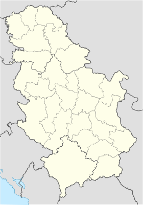
Serbia location map.svg
City locator 14.svg
Ceremošnja

Ceremošnja (en serbe cyrillique : Церемошња) est un village de Serbie situé dans la municipalité de Kučevo, district de Braničevo. En 2002, il comptait 317 habitants[1], dont une majorité de Serbes.

Sommaire

Démographie

Évolution historique de la population

Évolution démographique
1948 1953 1961 1971 1981 1991 2002
588 573 617 567 471 425 317[1]

Répartition de la population (2002)

Nationalité Nombre %
Serbes 253 79,81
Valaques 53 16,71
Roumains 3 0,94
Inconnus/Autres[2]

Notes et références

  1. a et b (sr) Livre 9, Population, analyse comparative de la population en 1948, 1953, 1961, 1971, 1981, 1991 et 2002, données par localités, Institut de statistique de la République de Serbie, Belgrade, mai 2004 (ISBN 86-84433-14-9)
  2. (sr) Livre 1, Population, origine nationale ou ethnique, données par localités, Institut de statistique de la République de Serbie, Belgrade, février 2003 (ISBN 86-84433-00-9)

Voir aussi

Articles connexes

Liens externes


Wikimedia Foundation. 2010.

Contenu soumis à la licence CC-BY-SA. Source : Article Ceremošnja de Wikipédia en français (auteurs)

Игры ⚽ Нужно сделать НИР?

Regardez d'autres dictionnaires:

  • Ceremosnja — Ceremošnja Ceremošnja Церемошња [[Image:|100px|center|Blason]] [[Image:|100px|center|Drapaeau]] Héraldique Drapeau …   Wikipédia en Français

  • Ceremošnja — Ceremosnja is a village in eastern Serbia, in the vicinity of the town of Kučevo, famous for its cave, which has been open since 1980 for tourists. Coordinates: 44°24′N 21°39′E /  …   Wikipedia

  • Kucevo — Kučevo Kučevo Кучево [[Image:|100px|center|Blason]] [[Image:|100px|center|Drapaeau]] Héraldique Drapeau …   Wikipédia en Français

  • Kučevo — Кучево Administration Pays  Serbie …   Wikipédia en Français

  • List of cities, towns and villages in Serbia — This is the complete list of settlements in Serbia without Kosovo, as recorded by 2002 census, sorted by municipalities. Settlements denoted as urban (towns and cities) are marked bold. Population for every settlement is given in brackets. The… …   Wikipedia

  • List of settlements in Serbia (alphabetic) — This is the complete list of settlements in Serbia without Kosovo, as recorded by 2002 census, in alphabetic order. Settlements denoted as urban (towns and cities) are marked bold. Population for every settlement is given in brackets. The same… …   Wikipedia

  • Branicevo — Браничевски округ Braničevski Okrug Lage im Engeren Serbien Staat: Serbien Fläche: 3.865 …   Deutsch Wikipedia

  • Braničevo — Браничевски округ Braničevski Okrug Lage im Engeren Serbien Staat: Serbien Fläche: 3.865 …   Deutsch Wikipedia

  • Okrug Braničevo — Браничевски округ Braničevski Okrug Lage in Serbien Staat: Serbien Fläc …   Deutsch Wikipedia

  • RS-11 — Браничевски округ Braničevski Okrug Lage im Engeren Serbien Staat: Serbien Fläche: 3.865 …   Deutsch Wikipedia

Share the article and excerpts

Direct link
Do a right-click on the link above
and select “Copy Link”