Central Hawke's Bay District
- Central Hawke's Bay District
-
District de Central Hawke's Bay
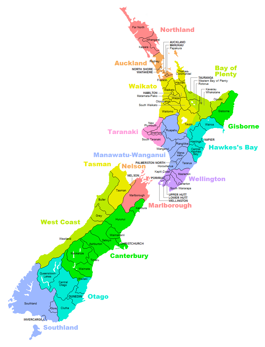
Le district de Central Hawke's Bay est situé dans la région de Hawke's Bay, dans l'île du Nord de la Nouvelle-Zélande. Elle s'étend sur 3 327,92 km2, de Pukehou au nord à Takapau au sud et des monts Ruahine à l'ouest à l'océan Pacifique à l'est. Le recensement de 2006 y a compté 12 954 habitants.
Il y a deux établissements principaux dans le district, Waipukurau et Waipawa, et plusieurs villages (dont Elsthorpe, Otane, Takapau, Tikokino et Ongaonga). Le district est divisé en deux wards : Aramoana/Ruahine et Ruataniwha.
La State Highway 2 passe par le centre du district, allant à Palmerston North (à 108 km) et la Wairarapa au sud, et à Hastings (50 km) et Napier au nord. La ligne ferroviaire Palmerston North-Gisborne passe par le district, qui contient un arrêt (Waipukurau) ; cette ligne est liée à celle de la Wairarapa à Woodville, et passe par la gorge Manawatu pour aller à Palmerston North.
Il y a quatre marae dans le district, un dans chacun des ses coins : à Pukehou, Kairakau, Porangahau et Takapau.
Notes et références
 Portail de la Nouvelle-Zélande
Catégories : Hawke's Bay | Autorité territoriale de Nouvelle-Zélande
Wikimedia Foundation.
2010.
Contenu soumis à la licence CC-BY-SA. Source : Article Central Hawke's Bay District de Wikipédia en français (auteurs)
Regardez d'autres dictionnaires:
Central Hawke's Bay District — is a district located in the North Island of New Zealand. It covers an area of 3,327.92 square kilometres with a population of 12,954 (2006 census). It covers the area from Pukehou in the north to Takapau in the south, and from the western… … Wikipedia
Central Hawke's Bay District — Admin ASC 2 Code Orig. name Central Hawke s Bay District Country and Admin Code NZ.F2.032 NZ … World countries Adminstrative division ASC I-II
Central Hawke's Bay — District de Central Hawke s Bay Le district de Central Hawke s Bay est situé dans la région de Hawke s Bay, dans l île du Nord de la Nouvelle Zélande. Elle s étend sur 3 327,92 km2, de Pukehou au nord à Takapau au sud et des monts Ruahine à l… … Wikipédia en Français
Central-Hawke’s-Bay-Distrikt — Central Hawke’s Bay District Council Karte Basisdaten … Deutsch Wikipedia
District de Central Hawke's Bay — 40° 02′ 20″ S 176° 34′ 41″ E / 40.039, 176.578 … Wikipédia en Français
Hawke's Bay — ( mi. Heretaunga) is a region of New Zealand. Hawke s Bay is recognised on the world stage for its award winning wines. The regional council sits in both the cities of Napier and Hastings.GeographyThe region is situated on the east coast of the… … Wikipedia
Hawke's Bay — Hawke’s Bay Karte Basisdaten Hauptstadt: Napier … Deutsch Wikipedia
Hawke’s Bay — Karte Basisdaten Haup … Deutsch Wikipedia
List of schools in Hawke's Bay, New Zealand — Hawke s Bay is a region in the North Island of New Zealand. It contains numerous small rural primary schools, some small town primary and secondary schools, and city schools in the Napier Hastings area.Wairoa DistrictCentral Hawke s Bay… … Wikipedia
District Health Board — District Health Boards (DHBs) in New Zealand are organisations established by the New Zealand Public Health and Disability Act 2000, responsible for ensuring the provision of health and disability services to populations within a defined… … Wikipedia