- British Columbia Ferry Services
-
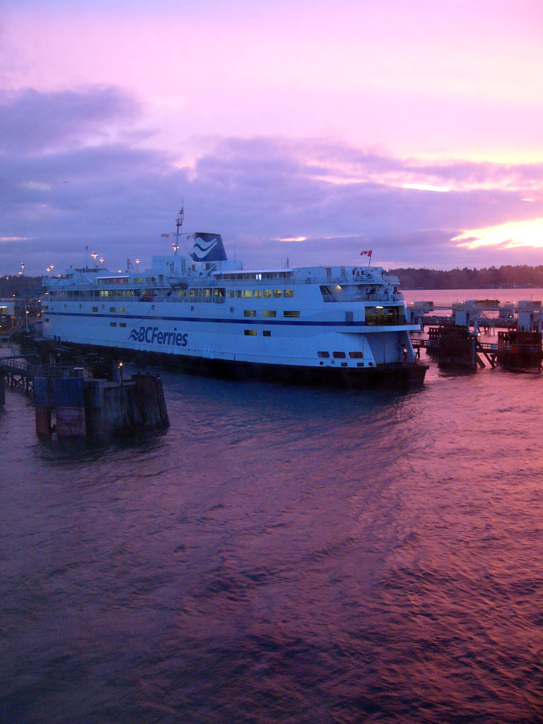
 Le ferry Queen of Oak Bay de la société BC Ferries en train de quitter le terminal de Horseshoe Bay (Vancouver Ouest)
British Columbia Ferry Services Inc. ou plus couramment BC Ferries est une société de droit canadien, fondée en 1960, dont l'activité consiste à transporter des passagers et des véhicules par ferry dans la province de Colombie-Britannique au Canada.
Sommaire
Caractéristiques
BC Ferries est actuellement la plus importante société de transport de passagers par ferry en Amérique du Nord et la seconde dans le monde. Elle exploite une flotte de 36 bateaux représentant une capacité de 27 000 passagers et membres d'équipage, et elle dessert 25 itinéraires reliant 47 terminaux situés sur les îles et sur la côte continentale de la Colombie-Britannique[1].
Sur l'année fiscale 2007 (de avril 2006 à mars 2007 inclus), la société a effectué 188 000 traversées, pour transporter plus de 21 millions de passagers et huit millions de véhicules. Son chiffre d'affaires s'est élevé à près de 600 millions de dollars canadiens.
Itinéraires desservis
 Un ferry au terminal de Tsawwassen situé à Delta
- de Tsawwassen à Swartz Bay
- de Horseshoe Bay à Departure Bay
- de Horseshoe Bay à Langdale sur la baie Howe (Howe Sound)
- de Fulford Harbour à Swartz Bay
- de Swartz Bay aux Îles Gulf du sud (Southern Gulf Island)
- de Vesuvius Bay à Crofton
- de Earls Cove à la baie Saltery (Saltery Bay)
- de Horseshoe Bay à Snug Cove
- de Tsawwassen aux Îles Gulf du sud (Southern Gulf Island)
- de Port Hardy à Bella Bella et Prince Rupert
- de Prince Rupert à Skidegate
- de Brentwood Bay à Mill Bay
- de Langdale à l'île Gambier (Gambier Island) et l'île Keats (Keats Island)
- de Little River à Westview
- de Blubber Bay (Île Texada) à Westview
- de Descanso Bay à Nanaimo Harbour
- de Chemainus à l'île Thetis (Thetis Island) et l'île Kuper (Kuper Island)
- de Buckley Bay à l'île Denman (Denman Island)
- de l'île Hornby à l'île Denman (Denman Island)
- de Quathiaski Cove à Campbell River
- de Whaletown à Heriot Bay
- de Alert Bay à Sointula et Port McNeill
- de Skidegate à Alliford Bay
- de Tsawwassen à Duke Point
- de Port Hardy à Mid Coast
Notes et références
- (en)Rapport annuel 2006-2007 de BC Ferries page 35 (format PDF) - disponible sur le site web officiel de BC Ferries
Voir aussi
Articles connexes
 Portail de la Colombie-Britannique
 Portail des entreprises
 Portail du monde maritime
Catégories :- Entreprise de Colombie-Britannique
- Compagnie maritime canadienne

Wikimedia Foundation. 2010.