Šuňava
- Šuňava
-
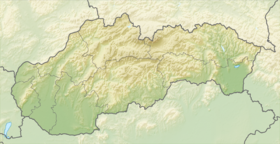
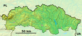
Šuňava (allemand : Schönau in der Liptau) est un village de Slovaquie situé dans la région de Prešov.
Histoire
Première mention écrite du village en 1269.
Notes et références
Catégories : - Village de Slovaquie
- Village et ville du district de Poprad
Wikimedia Foundation.
2010.
Contenu soumis à la licence CC-BY-SA. Source : Article Šuňava de Wikipédia en français (auteurs)
Regardez d'autres dictionnaires:
Šuňava — Wappen Karte … Deutsch Wikipedia
šunava — šunavà sf. (3b) FrnW, NdŽ, Švnč žr. šuniava: 1. Tiej bernai kap šunavà Dv. 2. Slk Susrinko šunavà OG166. Nusipirkč vyno, ale kad tos šunavõs daug – tuoj ir apipuls Str. Ką tu tę su tąj šùnava! Lbv. Prisrinko visas atšlaimas šunavõs Dv. 3.… … Dictionary of the Lithuanian Language
Šuňava — ( hu. Szépfalu, de. Schönau) is a village and municipality in Poprad District in the Prešov Region of northern Slovakia.HistoryIn historical records the village was first mentioned in 1269.GeographyThe municipality lies at an altitude of 871… … Wikipedia
Liste der Städte und Gemeinden in der Slowakei/S-Ž — Übersicht S bis Ž Teil 1 A bis G Teil 2 H bis Ľ Teil 3 M bis R Teil 4 S bis Ž Übersicht S Š T Ť U V Z Ž S … Deutsch Wikipedia
Liste der Städte und Gemeinden in der Slowakei Teil 4 — Übersicht S bis Ž Teil 1 A bis G Teil 2 H bis Ľ Teil 3 M bis R Teil 4 S bis Ž Übersicht S Š T Ť U V Z Ž S … Deutsch Wikipedia
Poprad — For the river in Slovakia and Poland, see Poprad (river). For the airport, see Poprad Tatry Airport. Coordinates: 49°03′34″N 20°17′51″E / 49.05944°N 20.2975°E … Wikipedia
Prešov Region — Geobox | Region name = Prešov category = Region image caption = image caption = symbol = symbol type = etymology = official name = motto = nickname = country = Slovakia country state = region = district = commune = municipality = border = part… … Wikipedia
XMLHttpRequest — HTTP Persistence · Compression · HTTPS Request methods OPTIONS · GET · HEAD · POST · PUT · DELETE · TRACE · CONNECT Header fields Cookie · ETag · Location · Referer DNT · … Wikipedia
Internet Explorer 5 — in Windows 98 … Wikipedia
Vysoké Tatry (town) — Coordinates: 49°08′51″N 20°13′39″E / 49.1475°N 20.2275°E / 49.1475; 20.2275 … Wikipedia
 Slovaquie


