Čeľadince
- Čeľadince
-
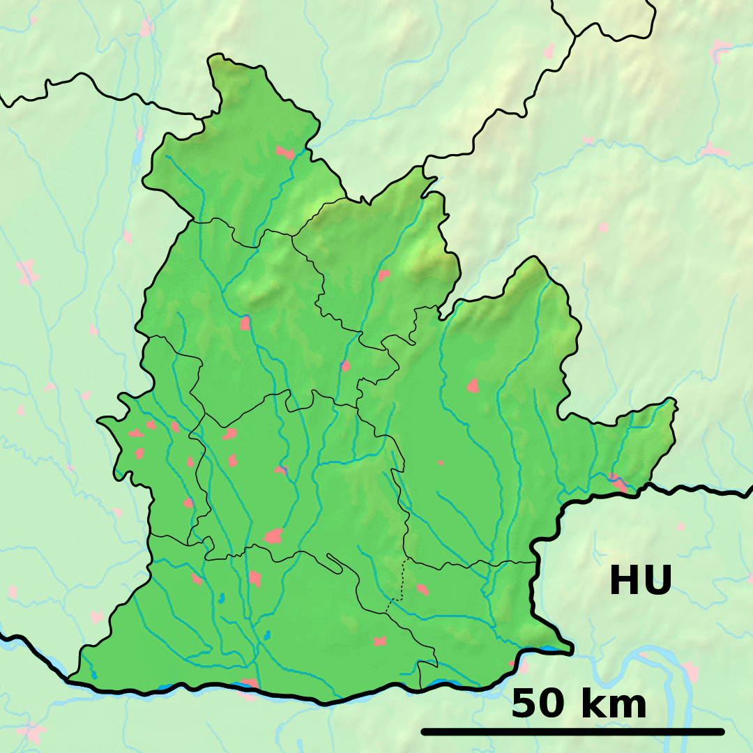
Čeľadince (hongrois : Családka)[4] est un village de Slovaquie situé dans la région de Nitra.
Histoire
Première mention écrite du village en 1113.
Notes et références
Catégories : - Village de Slovaquie
- Village et ville du district de Topoľčany
Wikimedia Foundation.
2010.
Contenu soumis à la licence CC-BY-SA. Source : Article Čeľadince de Wikipédia en français (auteurs)
Regardez d'autres dictionnaires:
Čeľadince — PAGENAME is a municipality in the Topoľčany District of the Nitra Region, Slovakia … Wikipedia
Chrabrany — is a municipality in the Topoľčany District of the Nitra Region, Slovakia. Chrabrany (pronounced /’xrabranɪ/) is a small village situated on the right bank of the Nitra river, three kilometres south of Topolcany. In 2010, the village had a… … Wikipedia
Liste der Städte und Gemeinden in der Slowakei/A-G — Übersicht A bis G Teil 1 A bis G Teil 2 H bis Ľ Teil 3 M bis R Teil 4 S bis Ž Übersicht A B C Č D Ď E F G A … Deutsch Wikipedia
Liste der Städte und Gemeinden in der Slowakei Teil 1 — Übersicht A bis G Teil 1 A bis G Teil 2 H bis Ľ Teil 3 M bis R Teil 4 S bis Ž Übersicht A B C Č D Ď E F G A … Deutsch Wikipedia
District de Topoľčany — 48°33′30″N 18°12′24″E / 48.55833, 18.20667 … Wikipédia en Français
Nitra Region — Coordinates: 48°18′25″N 18°05′11″E / 48.30694°N 18.08639°E / 48.30694; 18.08639 … Wikipedia
Topoľčany — Coordinates: 48°33′15″N 18°10′37″E / 48.55417°N 18.17694°E / 48.55417; 18.17694 … Wikipedia
Topoľčany District — District Country Slovakia Region … Wikipedia
List of municipalities and towns in Slovakia — Slovakia This is a comprehensive list of municipalities and towns in Slovakia. For lists of towns and municipalities sorted by Regions see the individual articles on Regions. For an outdated list of towns only in Slovakia see also List of towns… … Wikipedia
Čermany — Topoľčany District in Nitra Čermany is a municipality in the Topoľčany District of the Nitra Region, Slovakia … Wikipedia
 Slovaquie
 Čeľadince